نفق ابراهيم باشا.jpg
From Underfoot
Size of this preview: 800 × 534 pixels. Other resolutions: 320 × 214 pixels | 640 × 427 pixels | 1,024 × 683 pixels | 1,280 × 854 pixels | 2,560 × 1,708 pixels | 4,496 × 3,000 pixels.
Original file (4,496 × 3,000 pixels, file size: 6.06 MB, MIME type: image/jpeg)
Summary

| Description |
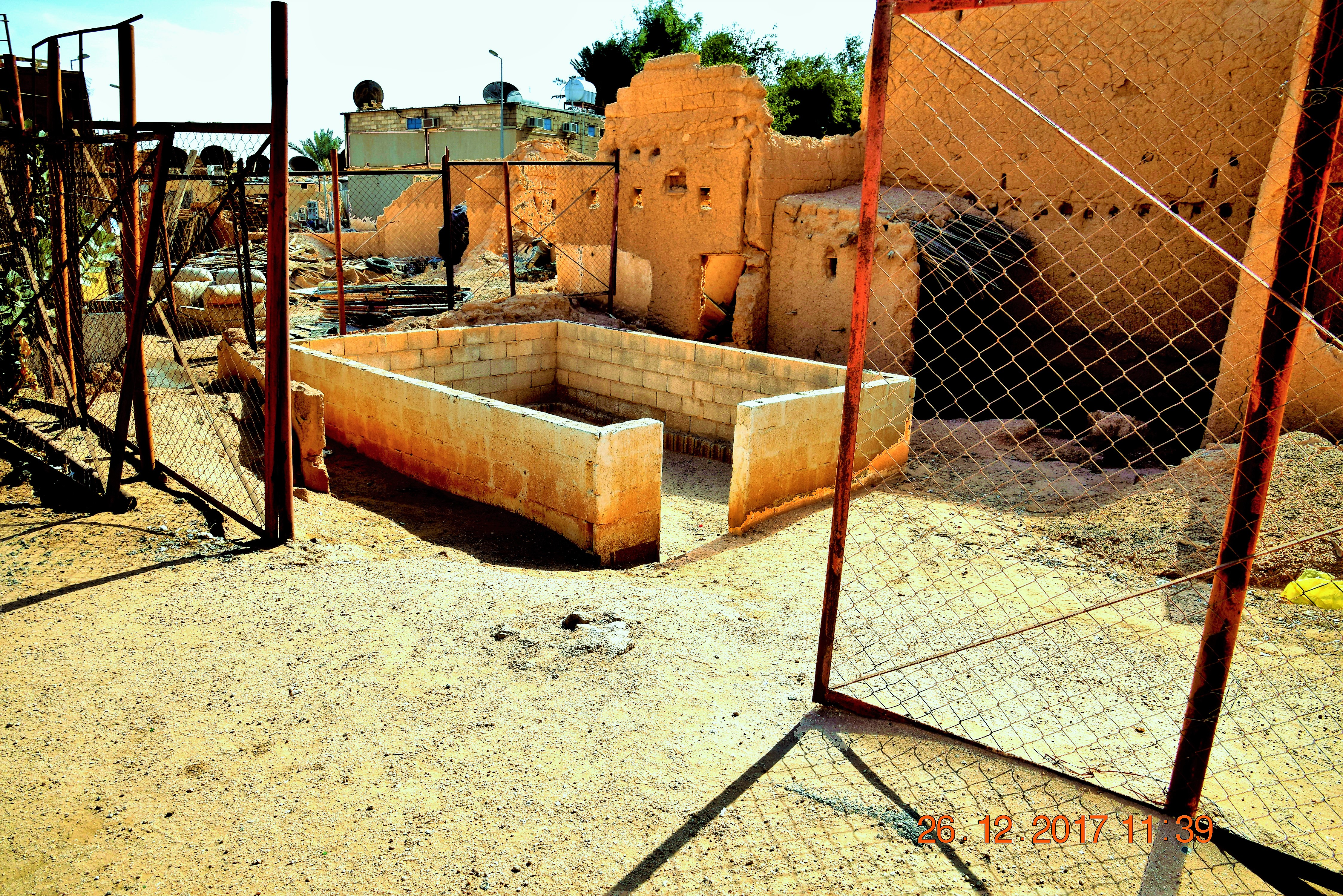
العربية: احد المواقع التراثية في منطقة القصيم |
|||||||||||||||||||||||
| Date | ||||||||||||||||||||||||
| Source | Own work | |||||||||||||||||||||||
| Author |
|
|||||||||||||||||||||||
| Permission (Reusing this file) |
|
|||||||||||||||||||||||
| Camera location | | View this and other nearby images on: OpenStreetMap |
|---|
Licensing
This file is licensed under the Creative Commons Attribution-Share Alike 4.0 International licence.
- You are free:
- to share – to copy, distribute and transmit the work
- to remix – to adapt the work
- Under the following conditions:
- attribution – You must give appropriate credit, provide a link to the licence, and indicate if changes were made. You may do so in any reasonable manner, but not in any way that suggests the licensor endorses you or your use.
- share alike – If you remix, transform, or build upon the material, you must distribute your contributions under the same or compatible licence as the original.
This file was donated by The Saudi Heritage Commission to Wikimedia Commons in cooperation with the Saudi Wikimedians User Group.
|
File history
Click on a date/time to view the file as it appeared at that time.
| Date/Time | Thumbnail | Dimensions | User | Comment | |
|---|---|---|---|---|---|
| current | 10:22, 25 August 2020 | | 4,496 × 3,000 (6.06 MB) | wikimediacommons>Huzayms | Uploaded a work by هيئة التراث from هيئة التراث with UploadWizard |
File usage
There are no pages that use this file.