Alter König-Wilhelm-Stollen 03.jpg
From Underfoot

Size of this preview: 800 × 578 pixels. Other resolutions: 320 × 231 pixels | 640 × 462 pixels | 1,024 × 740 pixels | 1,280 × 924 pixels | 1,800 × 1,300 pixels.
Original file (1,800 × 1,300 pixels, file size: 3.01 MB, MIME type: image/jpeg)
Summary
| Description |
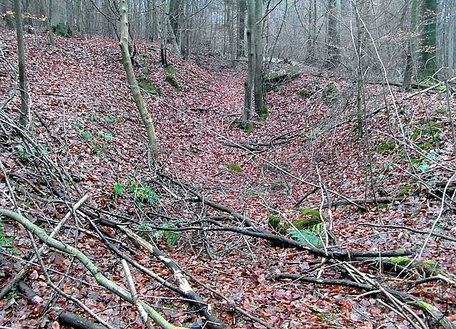
Deutsch: Im alten König-Wilhelm-Stollen wurde von 1844 bis 1891 Steinkohle gefördert. Dies dürften die verfallenen Reste des Mundlochs und dahinter des Stollens sein. |
| Date | |
| Source | Own work |
| Author | Den man tau |
| Camera location | | View this and other nearby images on: OpenStreetMap |
|---|
Licensing
I, the copyright holder of this work, hereby publish it under the following licence:
This file is licensed under the Creative Commons Attribution-Share Alike 4.0 International licence.
- You are free:
- to share – to copy, distribute and transmit the work
- to remix – to adapt the work
- Under the following conditions:
- attribution – You must give appropriate credit, provide a link to the licence, and indicate if changes were made. You may do so in any reasonable manner, but not in any way that suggests the licensor endorses you or your use.
- share alike – If you remix, transform, or build upon the material, you must distribute your contributions under the same or compatible licence as the original.
File history
Click on a date/time to view the file as it appeared at that time.
| Date/Time | Thumbnail | Dimensions | User | Comment | |
|---|---|---|---|---|---|
| current | 19:23, 17 December 2016 | | 1,800 × 1,300 (3.01 MB) | wikimediacommons>Den man tau | User created page with UploadWizard |
File usage
There are no pages that use this file.