Alzenau 671A015.jpg
From Underfoot
File:Alzenau 671A015.jpg

Original file (5,875 × 3,917 pixels, file size: 26.38 MB, MIME type: image/jpeg)
This file is from Wikimedia Commons and may be used by other projects. The description on its file description page there is shown below.
Summary
DescriptionAlzenau 671A015.jpg |
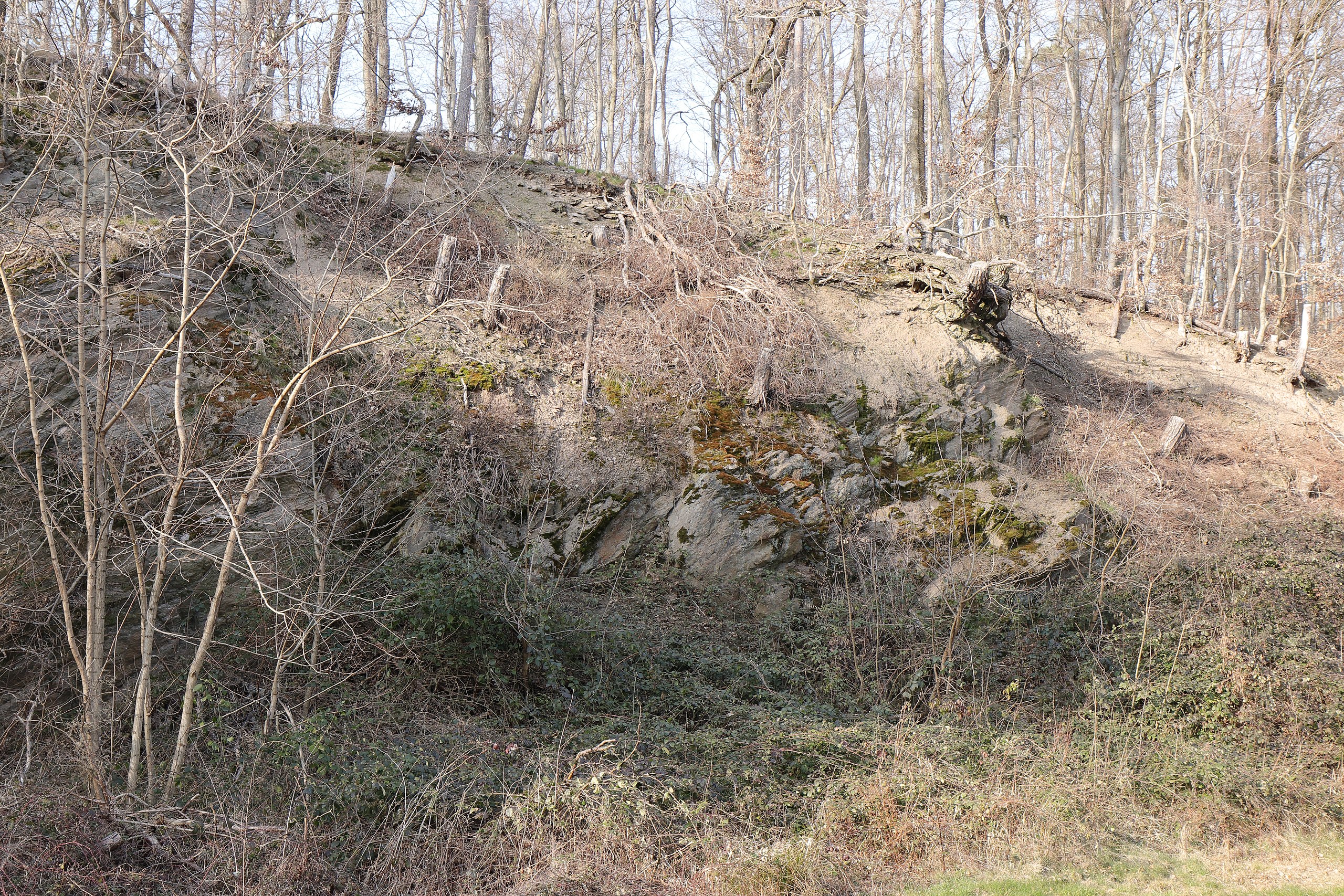
Deutsch: Alzenau, Steinbruch zwischen Hörstein und Hohl, Geotop 671A015, Objekt-ID (Bay. Bodeninformationssystem) 5920GT000004 im LSG innerhalb des Naturparks Spessart (ehemals Schutzzone)
English: Alzenau, quarry between Hoerstein and Hohl, geotope 671A015, object ID (Bavarian soil information system) 5920GT000004 in "LSG innerhalb des Naturparks Spessart (ehemals Schutzzone)" |
Date | |
Source | Own work |
Author | KaiBorgeest |
Camera location | 50° 02′ 44.5″ N, 9° 05′ 56.36″ E ![]() | View this and other nearby images on: OpenStreetMap | ![]() |
---|
Licensing


- You are free:
- to share – to copy, distribute and transmit the work
- to remix – to adapt the work
- Under the following conditions:
- attribution – You must give appropriate credit, provide a link to the licence, and indicate if changes were made. You may do so in any reasonable manner, but not in any way that suggests the licensor endorses you or your use.
- share alike – If you remix, transform, or build upon the material, you must distribute your contributions under the same or compatible licence as the original.
![]() |
This image was uploaded as part of Wiki Loves Earth 2022.
aragonés ∙ asturianu ∙ azərbaycanca ∙ Bahasa Indonesia ∙ Bahasa Melayu ∙ brezhoneg ∙ català ∙ čeština ∙ Cymraeg ∙ dagbanli ∙ Deutsch ∙ eesti ∙ English ∙ español ∙ euskara ∙ français ∙ galego ∙ hrvatski ∙ italiano ∙ latviešu ∙ Nederlands ∙ norsk ∙ norsk bokmål ∙ português ∙ polski ∙ português do Brasil ∙ română ∙ shqip ∙ sicilianu ∙ slovenščina ∙ svenska ∙ Tagalog ∙ Türkçe ∙ Ελληνικά ∙ беларуская (тарашкевіца) ∙ български ∙ македонски ∙ русский ∙ српски / srpski ∙ українська ∙ ქართული ∙ հայերեն ∙ नेपाली ∙ मराठी ∙ বাংলা ∙ മലയാളം ∙ ไทย ∙ 한국어 ∙ 日本語 ∙ 中文 ∙ 中文(台灣) ∙ 中文(简体) ∙ 中文(繁體) ∙ עברית ∙ اردو ∙ العربية ∙ فارسی ∙ +/− |
![]() |
Captions
Items portrayed in this file
depicts
50°2'44.41"N, 9°5'56.36"E
0.01666666666666666666 second
28 millimetre
200
image/jpeg
f552b204ffcf4f305d47ada529fb33d9d40b9a53
27,661,972 byte
3,917 pixel
5,875 pixel
File history
Click on a date/time to view the file as it appeared at that time.
Date/Time | Thumbnail | Dimensions | User | Comment | |
---|---|---|---|---|---|
current | 22:22, 7 May 2022 | ![]() | 5,875 × 3,917 (26.38 MB) | wikimediacommons>KaiBorgeest | Uploaded own work with UploadWizard |
File usage
The following page uses this file:
Metadata
This file contains additional information, probably added from the digital camera or scanner used to create or digitise it.
If the file has been modified from its original state, some details may not fully reflect the modified file.
Camera manufacturer | Canon |
---|---|
Camera model | Canon EOS 77D |
Author | K. Borgeest |
Copyright holder | K. Borgeest |
Exposure time | 1/60 sec (0.016666666666667) |
F Number | f/8 |
ISO speed rating | 200 |
Date and time of data generation | 16:15, 12 March 2022 |
Lens focal length | 28 mm |
Latitude | 50° 2′ 44.5″ N |
Longitude | 9° 5′ 56.36″ E |
Altitude | 364.6 metres above sea level |
Orientation | Normal |
Horizontal resolution | 350 dpi |
Vertical resolution | 350 dpi |
Software used | Digital Photo Professional |
File change date and time | 16:15, 12 March 2022 |
Y and C positioning | Centred |
Exposure Programme | Aperture priority |
Exif version | 2.3 |
Date and time of digitising | 16:15, 12 March 2022 |
Meaning of each component |
|
APEX shutter speed | 6 |
APEX aperture | 6 |
APEX exposure bias | 0 |
Metering mode | Centre weighted average |
Flash | Flash did not fire |
DateTime subseconds | 19 |
DateTimeOriginal subseconds | 19 |
DateTimeDigitised subseconds | 19 |
Supported Flashpix version | 1 |
Colour space | sRGB |
Custom image processing | Normal process |
Exposure mode | Auto exposure |
White balance | Manual white balance |
Scene capture type | Standard |
GPS time (atomic clock) | 15:15:11.999 |
Satellites used for measurement | 12 |
Receiver status | Measurement in progress |
Measurement mode | 3-dimensional measurement |
Measurement precision | Good (4) |
Geodetic survey data used | WGS-84 |
GPS date | 12 March 2022 |
GPS tag version | 0.0.3.2 |
Rating (out of 5) | 0 |