Breitenstein - Semmeringbahn - Klamm-Tunnel.jpg
From Underfoot
File:Breitenstein - Semmeringbahn - Klamm-Tunnel.jpg

Original file (3,625 × 2,719 pixels, file size: 7.68 MB, MIME type: image/jpeg)
This file is from Wikimedia Commons and may be used by other projects. The description on its file description page there is shown below.
Summary
DescriptionBreitenstein - Semmeringbahn - Klamm-Tunnel.jpg |
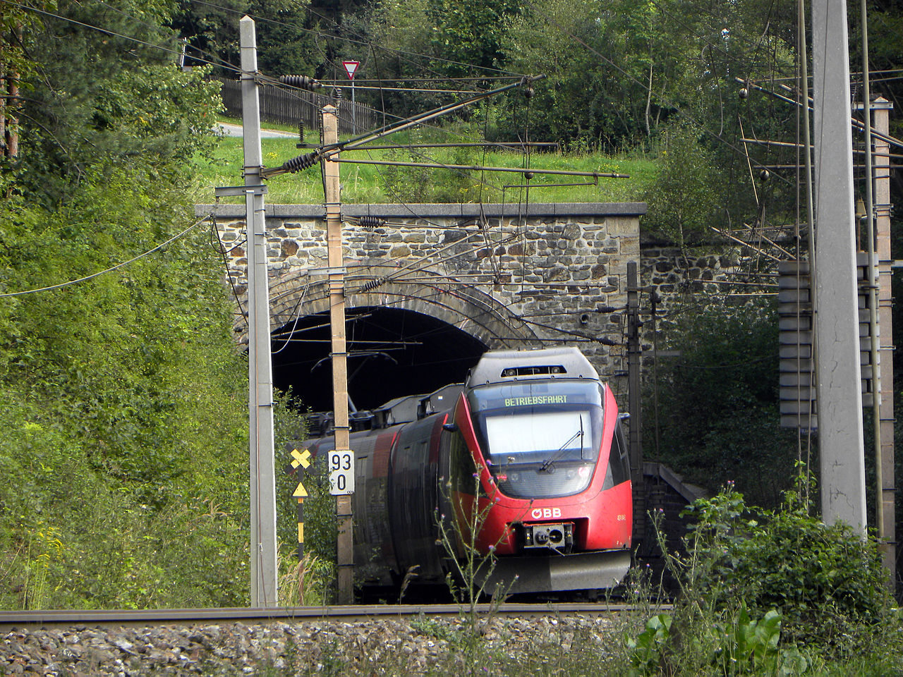
Deutsch: Südbahnstrecke "Semmering-Bahn" (Gloggnitz-Mürzzuschlag) |
||
Date | |||
Source | Own work | ||
Author | Häferl | ||
Permission (Reusing this file) |
|
Camera location | 47° 39′ 43.26″ N, 15° 51′ 59.17″ E ![]() ![]() | View this and other nearby images on: OpenStreetMap | ![]() |
---|
Licensing


- You are free:
- to share – to copy, distribute and transmit the work
- to remix – to adapt the work
- Under the following conditions:
- attribution – You must give appropriate credit, provide a link to the licence, and indicate if changes were made. You may do so in any reasonable manner, but not in any way that suggests the licensor endorses you or your use.
- share alike – If you remix, transform, or build upon the material, you must distribute your contributions under the same or compatible licence as the original.

![]() |
The making of this work was supported by Wikimedia Austria. For other files made with the support of Wikimedia Austria, please see the category Supported by Wikimedia Österreich. |
![]() |
This image was uploaded as part of Wiki Loves Monuments 2013.
Afrikaans ∙ Alemannisch ∙ العربية ∙ جازايرية ∙ azərbaycanca ∙ Bikol Central ∙ беларуская ∙ беларуская (тарашкевіца) ∙ български ∙ বাংলা ∙ brezhoneg ∙ bosanski ∙ català ∙ čeština ∙ Cymraeg ∙ dansk ∙ Deutsch ∙ Zazaki ∙ Ελληνικά ∙ English ∙ Esperanto ∙ español ∙ eesti ∙ euskara ∙ فارسی ∙ suomi ∙ français ∙ Frysk ∙ Gaeilge ∙ galego ∙ עברית ∙ हिन्दी ∙ hrvatski ∙ magyar ∙ հայերեն ∙ Bahasa Indonesia ∙ Ido ∙ italiano ∙ 日本語 ∙ ქართული ∙ 한국어 ∙ кыргызча ∙ Lëtzebuergesch ∙ latviešu ∙ Malagasy ∙ македонски ∙ മലയാളം ∙ Bahasa Melayu ∙ Malti ∙ norsk bokmål ∙ नेपाली ∙ Nederlands ∙ norsk nynorsk ∙ norsk ∙ polski ∙ português ∙ português do Brasil ∙ română ∙ русский ∙ sicilianu ∙ davvisámegiella ∙ slovenčina ∙ slovenščina ∙ shqip ∙ српски / srpski ∙ svenska ∙ ไทย ∙ Tagalog ∙ Türkçe ∙ українська ∙ اردو ∙ oʻzbekcha / ўзбекча ∙ Yorùbá ∙ 中文 ∙ 中文(中国大陆) ∙ 中文(简体) ∙ 中文(繁體) ∙ 中文(香港) ∙ 中文(臺灣) ∙ +/− |
![]() |
Captions
8 September 2013
47°39'43.25969"N, 15°51'59.16877"E
image/jpeg
2e9bf6c0257f1f9bed1b4c7a847e3940811c1ab8
8,054,461 byte
2,719 pixel
3,625 pixel
0.0151975683890578 second
5.6
51.8 millimetre
File history
Click on a date/time to view the file as it appeared at that time.
Date/Time | Thumbnail | Dimensions | User | Comment | |
---|---|---|---|---|---|
current | 03:30, 11 September 2013 | ![]() | 3,625 × 2,719 (7.68 MB) | wikimediacommons>Haeferl | User created page with UploadWizard |
File usage
There are no pages that use this file.
Metadata
This file contains additional information, probably added from the digital camera or scanner used to create or digitise it.
If the file has been modified from its original state, some details may not fully reflect the modified file.
Camera manufacturer | NIKON |
---|---|
Camera model | COOLPIX P90 |
Copyright holder |
|
Exposure time | 5/329 sec (0.015197568389058) |
F Number | f/5.6 |
ISO speed rating | 64 |
Date and time of data generation | 15:44, 8 September 2013 |
Lens focal length | 51.8 mm |
Latitude | 47° 39′ 43.26″ N |
Longitude | 15° 51′ 59.17″ E |
Altitude | 689 metres above sea level |
Author | Häferl |
Orientation | Normal |
Horizontal resolution | 300 dpi |
Vertical resolution | 300 dpi |
Software used | Adobe Photoshop Elements 8.0 Windows |
File change date and time | 14:47, 9 September 2013 |
Y and C positioning | Co-sited |
Exposure Programme | Aperture priority |
Exif version | 2.2 |
Date and time of digitising | 15:44, 8 September 2013 |
Meaning of each component |
|
Image compression mode | 4 |
APEX exposure bias | −0.4 |
Maximum land aperture | 3 APEX (f/2.83) |
Metering mode | Centre weighted average |
Light source | Unknown |
Flash | Flash did not fire, compulsory flash suppression |
Supported Flashpix version | 1 |
Colour space | sRGB |
File source | Digital still camera |
Scene type | A directly photographed image |
Custom image processing | Normal process |
Exposure mode | Auto bracket |
White balance | Auto white balance |
Digital zoom ratio | 0 |
Focal length in 35 mm film | 291 mm |
Scene capture type | Standard |
Scene control | None |
Contrast | Normal |
Saturation | Normal |
Sharpness | Normal |
Subject distance range | Unknown |
GPS time (atomic clock) | 13:44 |
Reference for direction of image | True direction |
Direction of image | 97.43 |
Geodetic survey data used | WGS-84 |
Latitude destination | 47° 39′ 42.87″ N |
Longitude of destination | 15° 52′ 3.61″ E |
GPS date | 8 September 2013 |
GPS tag version | 0.0.2.2 |
IIM version | 30,461 |
Short title | Weltkulturerbe Semmeringbahn |
Keywords |
|
City shown | Breitenstein am Semmering |
Sublocation of city shown | Klamm |
Province or state shown | Niederösterreich |
Code for country shown | AUT |
Country shown | Österreich |
Supported Flashpix version | 1 |
Image width | 3,625 px |
Image height | 2,719 px |
Contact information |
http://commons.wikimedia.org/wiki/User:Haeferl
|
Date metadata was last modified | 16:47, 9 September 2013 |
Unique ID of original document | xmp.did:C44503104D19E31197B393013CD975F9 |