Cadier en Keer-Kruiswegstaties (3).JPG
From Underfoot
Size of this preview: 800 × 600 pixels. Other resolutions: 320 × 240 pixels | 640 × 480 pixels | 1,024 × 768 pixels | 1,280 × 960 pixels | 2,560 × 1,920 pixels | 4,000 × 3,000 pixels.
Original file (4,000 × 3,000 pixels, file size: 4.86 MB, MIME type: image/jpeg)
.JPG)
Summary
| Description |
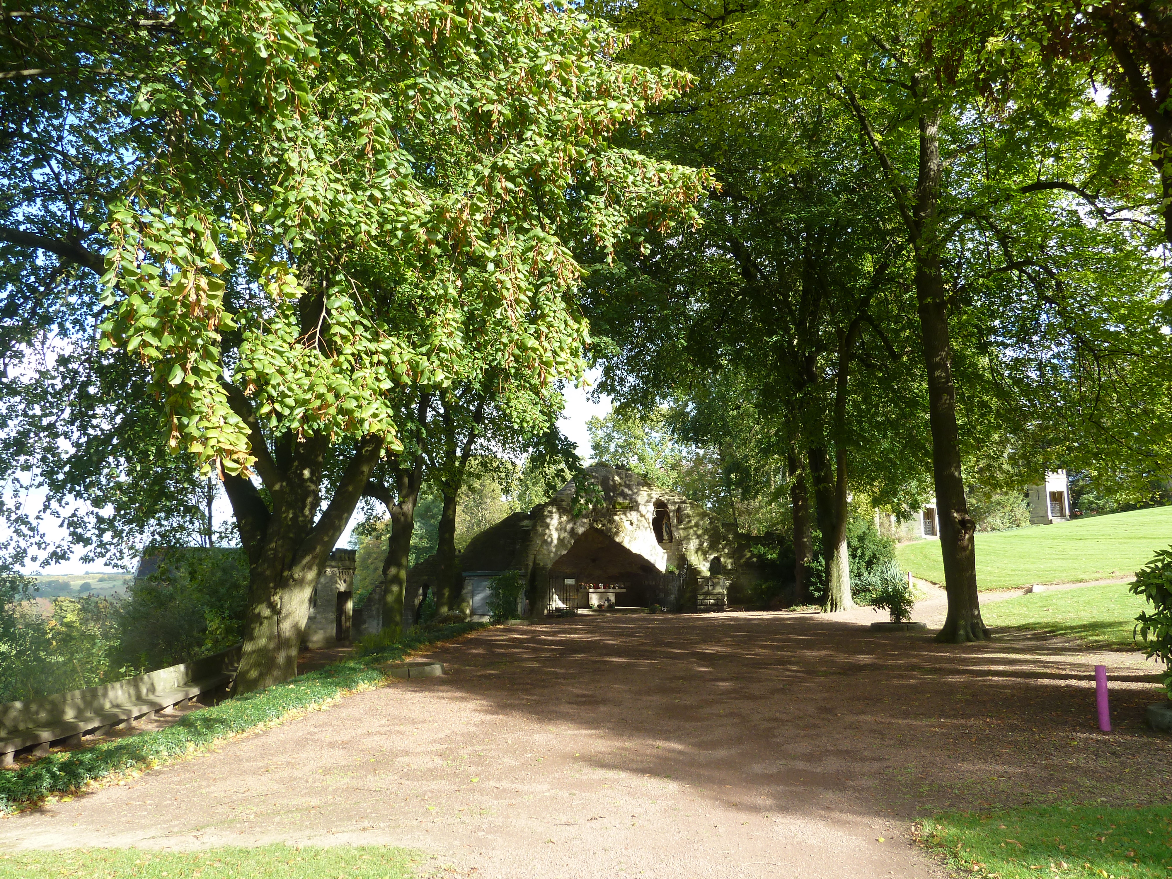
English: Kruiswegstaties with Lourdesgrot, Cadier en Keer, Limburg, the Netherlands
Nederlands: Kruiswegstaties met Lourdesgrot, Cadier en Keer, Limburg, Nederland |
| Date | |
| Source | Own work |
| Author | Romaine |
| Camera location | | View this and other nearby images on: OpenStreetMap |
|---|
.JPG¶ms=050.838133_N_0005.754517_E_globe:Earth_type:camera_type:landmark_&language=en-gb)
|
This is an image of rijksmonument number 491714
Information from structured data: |
|
This is an image of rijksmonument number 491720
Information from structured data: |
Licensing
| This file is made available under the Creative Commons CC0 1.0 Universal Public Domain Dedication. | |
| The person who associated a work with this deed has dedicated the work to the public domain by waiving all of their rights to the work worldwide under copyright law, including all related and neighbouring rights, to the extent allowed by law. You can copy, modify, distribute and perform the work, even for commercial purposes, all without asking permission.
|
File history
Click on a date/time to view the file as it appeared at that time.
| Date/Time | Thumbnail | Dimensions | User | Comment | |
|---|---|---|---|---|---|
| current | 22:38, 25 October 2010 | | 4,000 × 3,000 (4.86 MB) | wikimediacommons>Romaine | {{Information |Description={{en|1=Kruiswegstaties with Lourdesgrot, Cadier en Keer, Limburg, the Netherlands}} {{nl|1=Kruiswegstaties met Lourdesgrot, Cadier en Keer, Limburg, Nederland}} |Source={{own}} |Author=Romaine |Date=2010-10-25 | |
File usage
There are no pages that use this file.
.JPG)