Charbonnage du Bois de Micheroux - 04.jpg
From Underfoot

Size of this preview: 400 × 600 pixels. Other resolutions: 160 × 240 pixels | 320 × 480 pixels | 512 × 768 pixels | 682 × 1,024 pixels | 1,365 × 2,048 pixels | 3,072 × 4,608 pixels.
Original file (3,072 × 4,608 pixels, file size: 5.83 MB, MIME type: image/jpeg)
| Camera location | | View this and other nearby images on: OpenStreetMap |
|---|
| Description |
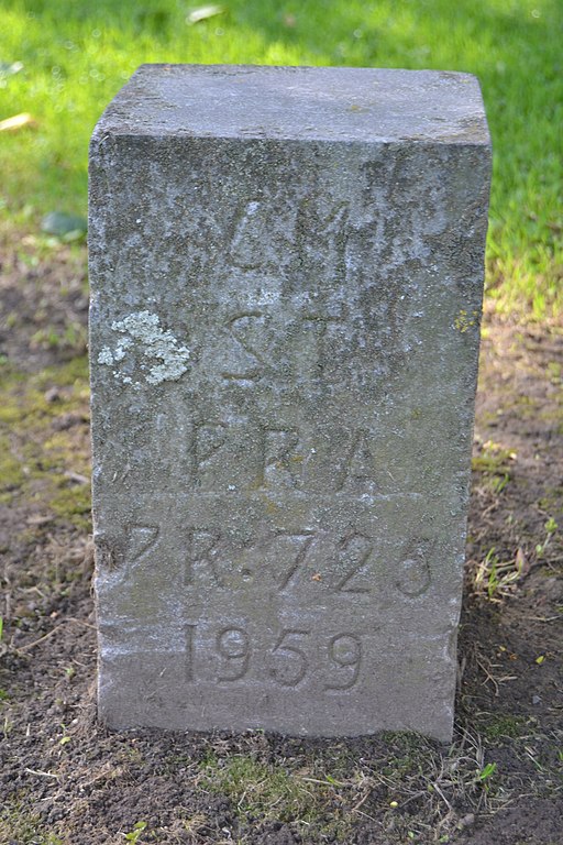
Français : Ancien puits du Charbonnage du Bois de Micheroux à fr:Soumagne, Belgique
English: Ancient pit of the Bois de Micheroux coal mine in Soumagne, Belgium |
||
| Date | |||
| Source | Own work | ||
| Author | Utilisateur:Bel Adone | ||
| Permission (Reusing this file) |
|
||
| OpenStreetMap | Node 6376884624 |
| Object location | | View this and other nearby images on: OpenStreetMap |
|---|
File history
Click on a date/time to view the file as it appeared at that time.
| Date/Time | Thumbnail | Dimensions | User | Comment | |
|---|---|---|---|---|---|
| current | 12:54, 18 September 2012 | | 3,072 × 4,608 (5.83 MB) | wikimediacommons>Vberger~commonswiki | {{Information |Description= |Source={{own}} |Date= |Author= Vberger |Permission= |other_versions= }} |
File usage
There are no pages that use this file.