Cincinnati and Whitewater Canal Tunnel, Cleves portal, distant angle.jpg
From Underfoot
Size of this preview: 800 × 450 pixels. Other resolutions: 320 × 180 pixels | 640 × 360 pixels | 1,024 × 576 pixels | 1,280 × 720 pixels | 2,816 × 1,584 pixels.
Original file (2,816 × 1,584 pixels, file size: 3.04 MB, MIME type: image/jpeg)
| Camera location | | View this and other nearby images on: OpenStreetMap |
|---|
| Description |
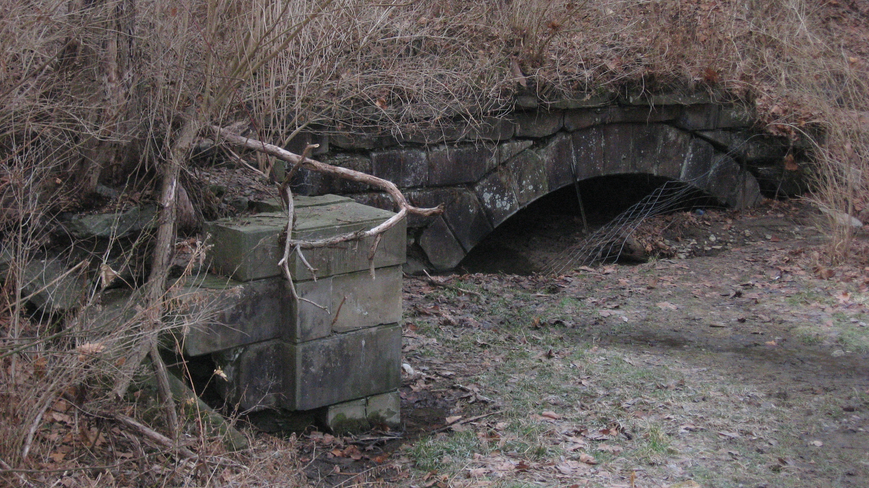
English: Northern end of the Cincinnati and Whitewater Canal Tunnel, located west of the intersection of Miami and Ridge Avenues in Cleves, Ohio, United States. Built in 1837, the tunnel is listed on the National Register of Historic Places. |
||
| Date | Taken on 19 February 2011 | ||
| Source | Own work | ||
| Author | Nyttend | ||
| Permission (Reusing this file) |
|
||
| Other versions | None |
File history
Click on a date/time to view the file as it appeared at that time.
| Date/Time | Thumbnail | Dimensions | User | Comment | |
|---|---|---|---|---|---|
| current | 04:27, 27 February 2011 | | 2,816 × 1,584 (3.04 MB) | wikimediacommons>Nyttend | {{Location|39|9|18|N|84|45|1|W}} {{Information |Description={{en|Northern end of the {{w|Cincinnati and Whitewater Canal Tunnel}}, located west of the intersection of Miami and Ridge Avenues in {{w|Cleves, Ohio|Cleves}}, {{w|Ohio}}, {{w|United States}}. |
File usage
There are no pages that use this file.