DOP40 - Landkreis Weißenburg-Gunzenhausen 32645 5420 (Bayerische Vermessungsverwaltung).tif
From Underfoot
File:DOP40 - Landkreis Weißenburg-Gunzenhausen 32645 5420 (Bayerische Vermessungsverwaltung).tif
The media handler extension for this file format is missing. Advanced media features may not work unless the file is viewed at Wikimedia Commons.
Size of this preview of this TIF file: 600 × 600 pixels. Other resolutions: 240 × 240 pixels | 480 × 480 pixels | 768 × 768 pixels | 1,024 × 1,024 pixels | 2,500 × 2,500 pixels.
Original file (2,500 × 2,500 pixels, file size: 17.6 MB, MIME type: image/tiff)
File history
Click on a date/time to view the file as it appeared at that time.
| Date/Time | Thumbnail | Dimensions | User | Comment | |
|---|---|---|---|---|---|
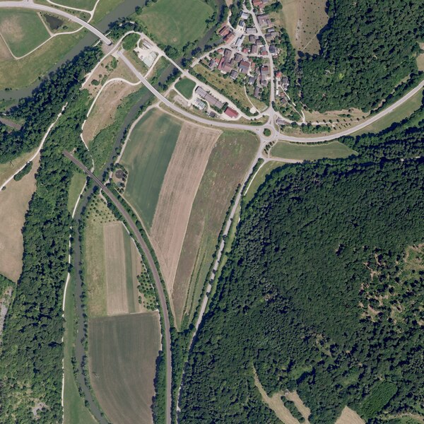
| current | 00:51, 24 February 2024 |  | 2,500 × 2,500 (17.6 MB) | wikimediacommons>Derkoenig | {{Information |description={{de|1=Ansicht eines digitalen Orthofotos von der Bayerischen Vermessungsverwaltung. Das Bild ist ein entzerrtes, maßstabsgetreues Luftbild auf Grundlage der Bayernbefliegung. Die Abmessungen dieses Bildes betragen 1 km × 1 km. Eine Pixelkante ist 40cm lang. Als Koordinatensystem wird UTM32, bzw. EPSG:25832 benutzt. Diese Datei ist die originale TIF-Datei von der Bayerischen Vermessungsverwaltung und wird als GEOTIFF bezeichnet. Die Aktualisierung der Grafiken erfol... |
File usage
There are no pages that use this file.