Entrée Ouest Tunnel de Duingt (avril 2023).JPG
From Underfoot
File:Entrée Ouest Tunnel de Duingt (avril 2023).JPG

Size of this preview: 800 × 596 pixels. Other resolutions: 320 × 238 pixels | 640 × 476 pixels | 1,024 × 762 pixels | 1,280 × 953 pixels | 2,560 × 1,906 pixels | 3,240 × 2,412 pixels.
Original file (3,240 × 2,412 pixels, file size: 6.33 MB, MIME type: image/jpeg)
.JPG)
Summary
| Description |
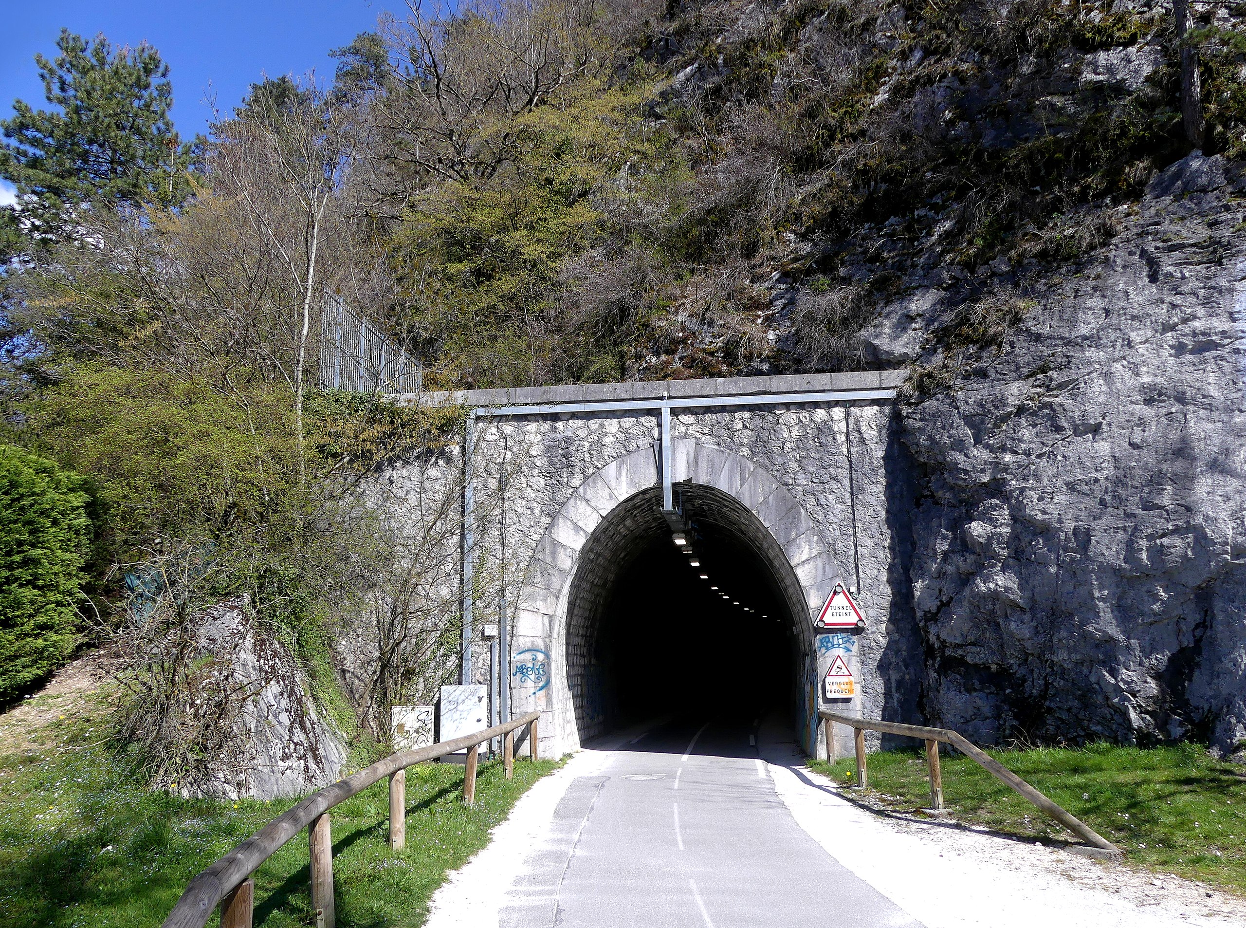
English: Sight, in the end of afternoon, of Voie verte du lac d'Annecy bikeway entering into Duingt tunnel crossing Taillefer mountain, in Haute-Savoie, France.
Français : Vue, en fin d'après-midi, de la Voie verte du lac d'Annecy entrant dans le tunnel de Duingt traversant le Taillefer, en Haute-Savoie. |
| Date | |
| Source | Own work |
| Author | Florian Pépellin |
| Permission (Reusing this file) |
CC-BY-SA 4.0 |
| Camera location | | View this and other nearby images on: OpenStreetMap |
|---|
.JPG¶ms=045.826950_N_0006.204118_E_globe:Earth_type:camera_heading:90.00&language=en-gb)
Licensing
I, the copyright holder of this work, hereby publish it under the following licence:
This file is licensed under the Creative Commons Attribution-Share Alike 4.0 International licence.
- You are free:
- to share – to copy, distribute and transmit the work
- to remix – to adapt the work
- Under the following conditions:
- attribution – You must give appropriate credit, provide a link to the licence, and indicate if changes were made. You may do so in any reasonable manner, but not in any way that suggests the licensor endorses you or your use.
- share alike – If you remix, transform, or build upon the material, you must distribute your contributions under the same or compatible licence as the original.
File history
Click on a date/time to view the file as it appeared at that time.
| Date/Time | Thumbnail | Dimensions | User | Comment | |
|---|---|---|---|---|---|
| current | 19:26, 28 April 2023 | | 3,240 × 2,412 (6.33 MB) | wikimediacommons>Floflo | {{Information |Description={{en|1=Sight, in the end of afternoon, of ''Voie verte du lac d'Annecy'' bikeway entering into ''Duingt'' tunnel crossing ''Taillefer'' mountain, in Haute-Savoie, France.}} {{fr|1=Vue, en fin d'après-midi, de la ''Voie verte du lac d'Annecy'' entrant dans le tunnel de ''Duingt'' traversant le ''Taillefer'', en Haute-Savoie.}} |Source={{own}} |Date=2023-04-09 |Author=Florian Pépellin |Permission=CC-BY-SA 4.0 }} Category:Voie Verte du Lac d'Annecy [[Ca... |
File usage
The following 3 pages use this file:
.JPG)