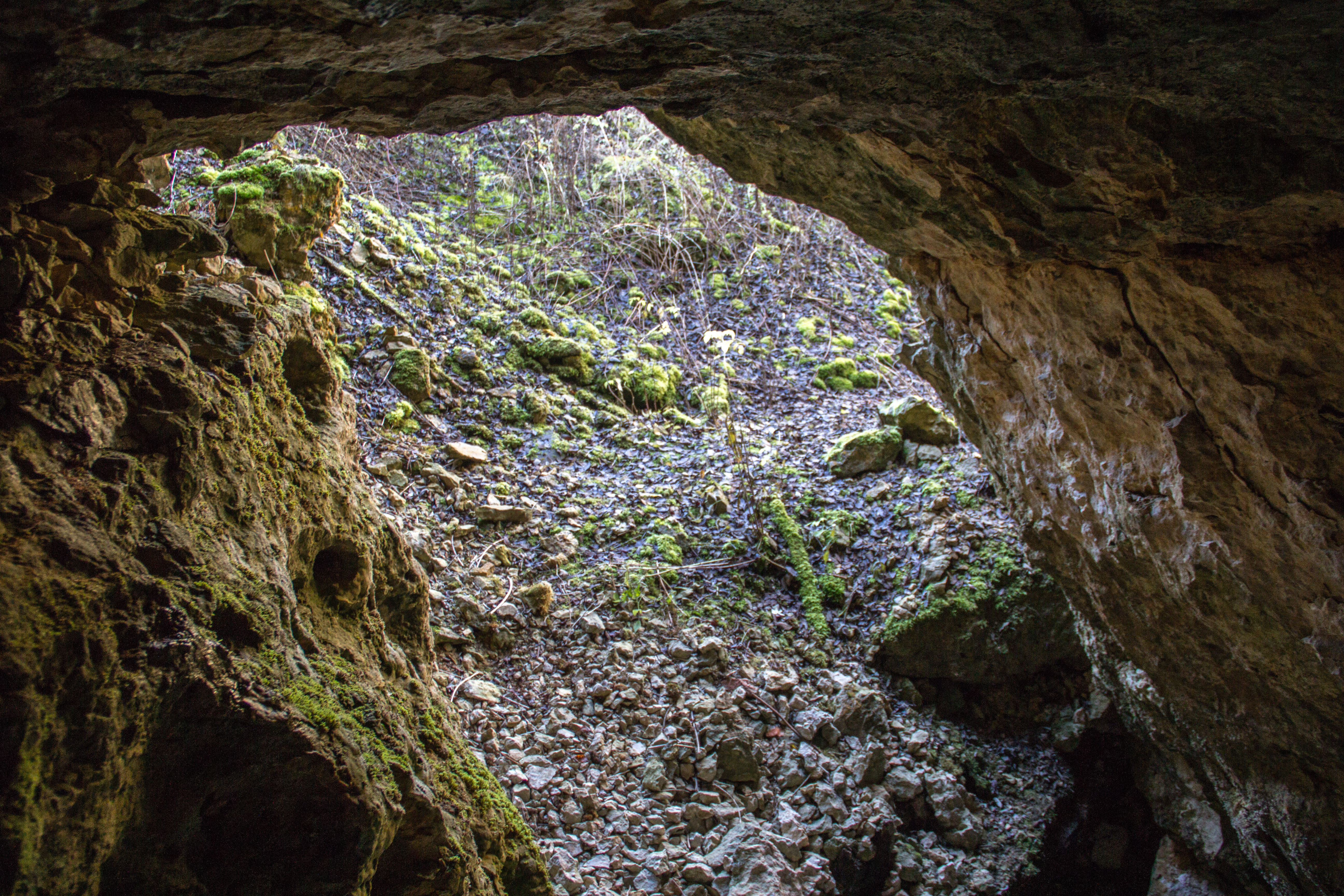
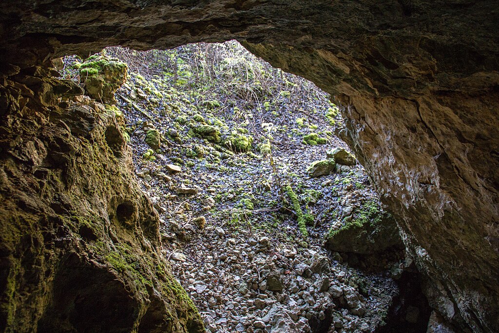
Euerwanger Bühl 04.jpg
From Underfoot
Size of this preview: 800 × 533 pixels. Other resolutions: 320 × 213 pixels | 640 × 427 pixels | 1,024 × 683 pixels | 1,280 × 853 pixels | 2,560 × 1,707 pixels | 5,184 × 3,456 pixels.
Original file (5,184 × 3,456 pixels, file size: 6.06 MB, MIME type: image/jpeg)
Summary
| Description |
Deutsch: Euerwanger Bühl |
| Date | |
| Source | Own work |
| Author | Derzno |
| Camera location | | View this and other nearby images on: OpenStreetMap |
|---|
Licensing
I, the copyright holder of this work, hereby publish it under the following licence:
This file is licensed under the Creative Commons Attribution 3.0 Unported licence.
- You are free:
- to share – to copy, distribute and transmit the work
- to remix – to adapt the work
- Under the following conditions:
- attribution – You must give appropriate credit, provide a link to the licence, and indicate if changes were made. You may do so in any reasonable manner, but not in any way that suggests the licensor endorses you or your use.
File history
Click on a date/time to view the file as it appeared at that time.
| Date/Time | Thumbnail | Dimensions | User | Comment | |
|---|---|---|---|---|---|
| current | 10:59, 4 January 2014 | | 5,184 × 3,456 (6.06 MB) | wikimediacommons>Derzno | {{Information |Description ={{de|1=Euerwanger Bühl}} |Source ={{own}} |Author =Derzno |Date =2013-12-27 |Permission = |other_versions = }} Category:Höhlensystem am Euerwanger Bühl [[Category:Phot... |
File usage
There are no pages that use this file.