Grogwynion Lead Mine.jpg
From Underfoot

Size of this preview: 450 × 600 pixels. Other resolutions: 180 × 240 pixels | 360 × 480 pixels | 576 × 768 pixels | 768 × 1,024 pixels | 1,536 × 2,048 pixels | 3,456 × 4,608 pixels.
Original file (3,456 × 4,608 pixels, file size: 6.94 MB, MIME type: image/jpeg)
Summary
| Description |
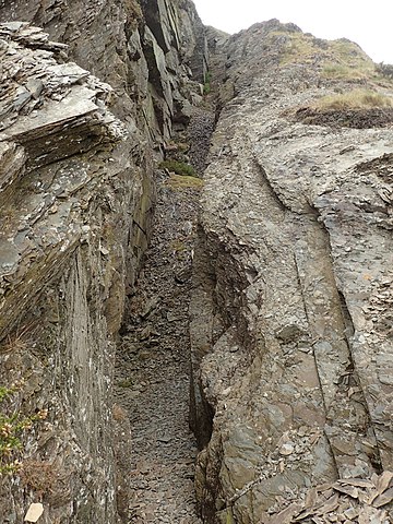
Cymraeg: Mwynglawdd Plwm Grogwynion. Mwynglawdd plwm yn Nhrawsgoed English: Grogwynion Lead Mine |
| Source | Mindat.org |
| Author | Chris Popham |
| OpenStreetMap | Way 1298086745 |
| Object location | | View this and other nearby images on: OpenStreetMap |
|---|
Licensing
| This work has been released into the public domain by its author, Chris Popham. This applies worldwide. In some countries this may not be legally possible; if so: Chris Popham grants anyone the right to use this work for any purpose, without any conditions, unless such conditions are required by law.
|
File history
Click on a date/time to view the file as it appeared at that time.
| Date/Time | Thumbnail | Dimensions | User | Comment | |
|---|---|---|---|---|---|
| current | 14:14, 19 November 2020 | | 3,456 × 4,608 (6.94 MB) | wikimediacommons>Jason.nlw | New image for d:Q102081761 |
File usage
There are no pages that use this file.