Hamburg Am Elbtunnel 015 2020 01 23.jpg
From Underfoot

Size of this preview: 790 × 600 pixels. Other resolutions: 316 × 240 pixels | 632 × 480 pixels | 1,011 × 768 pixels | 1,280 × 972 pixels | 2,565 × 1,948 pixels.
Original file (2,565 × 1,948 pixels, file size: 1.26 MB, MIME type: image/jpeg)
Summary
| Description |
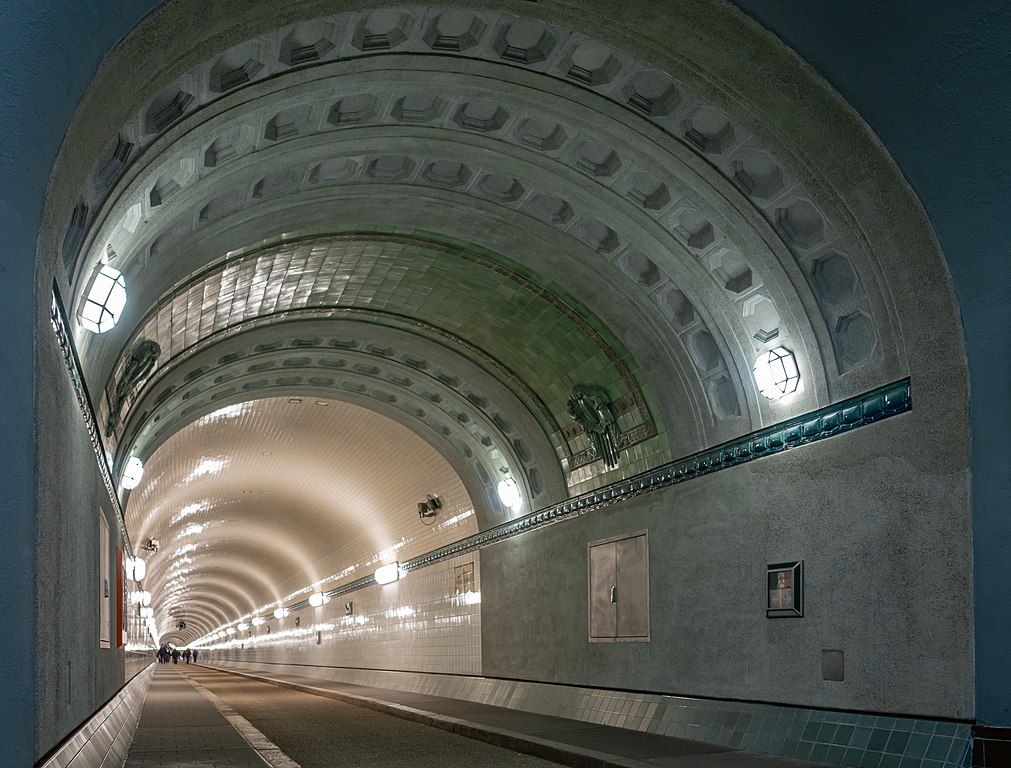
This is a photograph of a cultural monument.
It is on the list of cultural monuments of Hamburg-Steinwerder, no. 13163, 29986. Designation: Old Elbe Tunnel (St.-Pauli-Elbtunnel)
Type: Tunnels <Tunnel tubes; shaft buildings; etc.> |
||
| Date | Taken on 23.01.2020 11:59:15 | ||
| Source | Self-photographed | ||
| Author | Friedrich Haag | ||
| Permission (Reusing this file) |
|
||
| Attribution (required by the licence) | © Friedrich Haag / Wikimedia Commons / | ||
| Object location | | View this and other nearby images on: OpenStreetMap |
|---|
| Camera location | | View this and other nearby images on: OpenStreetMap |
|---|
Licensing
I, the copyright holder of this work, hereby publish it under the following licence:
This file is licensed under the Creative Commons Attribution-Share Alike 4.0 International licence.
Attribution:
Friedrich Haag
- You are free:
- to share – to copy, distribute and transmit the work
- to remix – to adapt the work
- Under the following conditions:
- attribution – You must give appropriate credit, provide a link to the licence, and indicate if changes were made. You may do so in any reasonable manner, but not in any way that suggests the licensor endorses you or your use.
- share alike – If you remix, transform, or build upon the material, you must distribute your contributions under the same or compatible licence as the original.
Other

|
This image was uploaded as part of Wiki Loves Monuments 2020.
|
File history
Click on a date/time to view the file as it appeared at that time.
| Date/Time | Thumbnail | Dimensions | User | Comment | |
|---|---|---|---|---|---|
| current | 13:27, 5 September 2020 | | 2,565 × 1,948 (1.26 MB) | wikimediacommons>F. Riedelio | Uploaded with LrMediaWiki 0.8.0, LR 9.4 Win |
File usage
There are no pages that use this file.