Hrazený potok (1).JPG
From Underfoot
File:Hrazený potok (1).JPG
Size of this preview: 800 × 530 pixels. Other resolutions: 320 × 212 pixels | 640 × 424 pixels | 1,024 × 678 pixels | 1,280 × 848 pixels | 2,560 × 1,695 pixels | 4,000 × 2,649 pixels.
Original file (4,000 × 2,649 pixels, file size: 7.41 MB, MIME type: image/jpeg)
.JPG)
|
This is a photo of a cultural monument of the Czech Republic,
number: 105626. |
Summary
| Description |
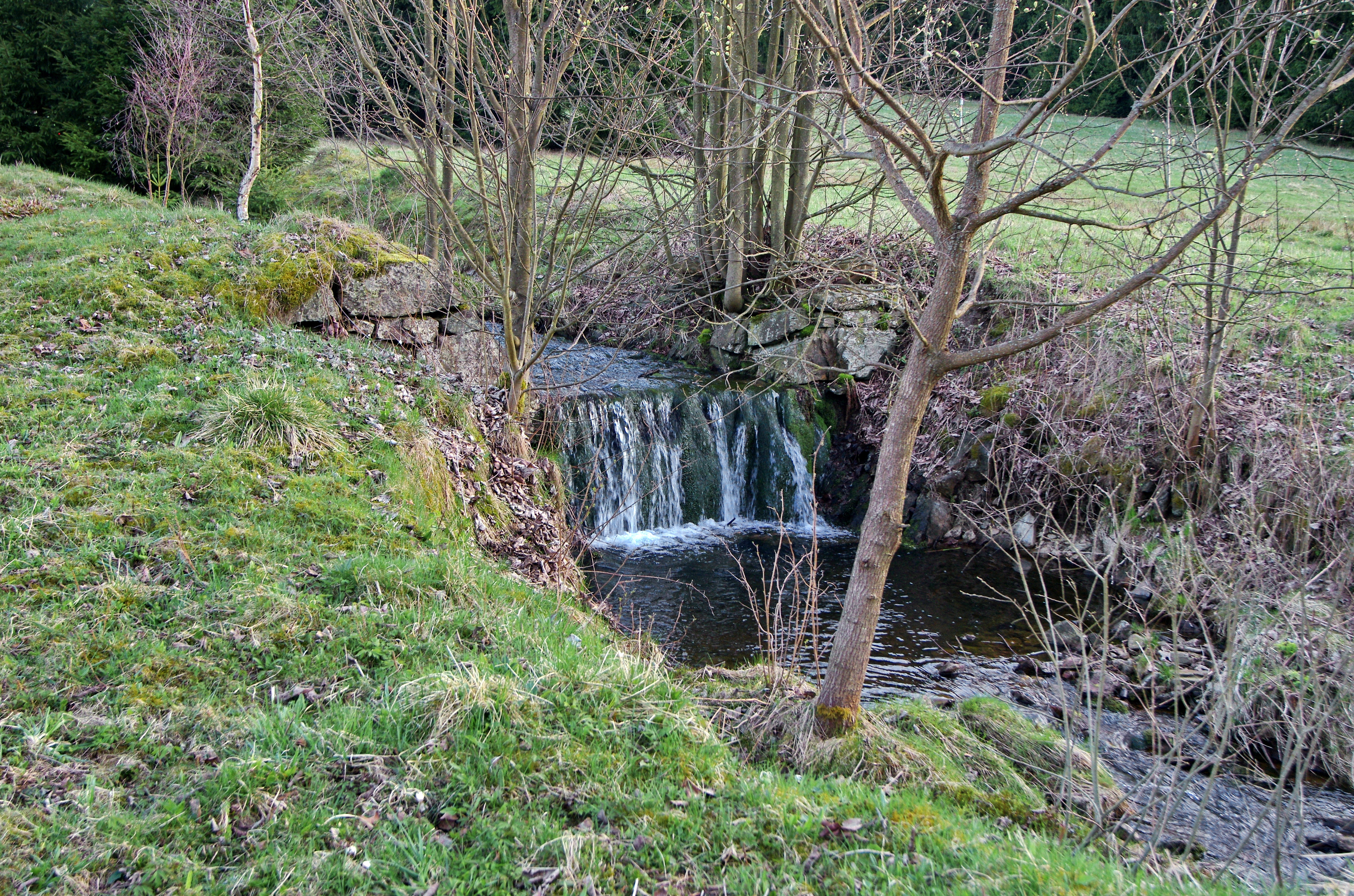
Čeština: Hrazený potok, přítok Zlatého potoka v osadě Zlatý Kopec, v místě kde dříve stála stará stoupovna, Krušné hory, okres Karlovy Vary |
| Date | |
| Source | Own work |
| Author | Lubor Ferenc |
| Camera location | | View this and other nearby images on: OpenStreetMap |
|---|
.JPG¶ms=050.437500_N_0012.842803_E_globe:Earth_type:camera__&language=en-gb)
Licensing
I, the copyright holder of this work, hereby publish it under the following licence:
This file is licensed under the Creative Commons Attribution-Share Alike 4.0 International licence.
- You are free:
- to share – to copy, distribute and transmit the work
- to remix – to adapt the work
- Under the following conditions:
- attribution – You must give appropriate credit, provide a link to the licence, and indicate if changes were made. You may do so in any reasonable manner, but not in any way that suggests the licensor endorses you or your use.
- share alike – If you remix, transform, or build upon the material, you must distribute your contributions under the same or compatible licence as the original.
File history
Click on a date/time to view the file as it appeared at that time.
| Date/Time | Thumbnail | Dimensions | User | Comment | |
|---|---|---|---|---|---|
| current | 14:30, 24 April 2016 | | 4,000 × 2,649 (7.41 MB) | wikimediacommons>Lubor Ferenc | User created page with UploadWizard |
File usage
The following 2 pages use this file:
.JPG)