Jáchymov, důl Eliáš, historická ortofotomapa (50. léta).jpg
From Underfoot
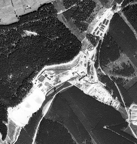
File:Jáchymov, důl Eliáš, historická ortofotomapa (50. léta).jpg

Size of this preview: 571 × 600 pixels. Other resolutions: 228 × 240 pixels | 457 × 480 pixels | 731 × 768 pixels | 975 × 1,024 pixels | 2,207 × 2,318 pixels.
Original file (2,207 × 2,318 pixels, file size: 1.97 MB, MIME type: image/jpeg)
.jpg)
File history
Click on a date/time to view the file as it appeared at that time.
| Date/Time | Thumbnail | Dimensions | User | Comment | |
|---|---|---|---|---|---|
| current | 15:44, 20 February 2024 | | 2,207 × 2,318 (1.97 MB) | wikimediacommons>Hubert Kororo | Uploaded a work by Historická ortofotomapa © CENIA 2010 a © GEODIS Brno, spol. s r.o. 2010 Podkladové letecké snímky poskytl VGHMÚř Dobruška, © MO ČR 2009. from https://micka.cenia.cz/record/basic/50210752-9d9c-4f47-956b-1951c0a80137 with UploadWizard |
File usage
There are no pages that use this file.
.jpg)