Karte Eysturoyartunnilin.svg
From Underfoot
File:Karte Eysturoyartunnilin.svg

Size of this PNG preview of this SVG file: 652 × 599 pixels. Other resolutions: 261 × 240 pixels | 522 × 480 pixels | 836 × 768 pixels | 1,114 × 1,024 pixels | 2,229 × 2,048 pixels | 1,271 × 1,168 pixels.
Original file (SVG file, nominally 1,271 × 1,168 pixels, file size: 616 KB)
Summary
| Description |
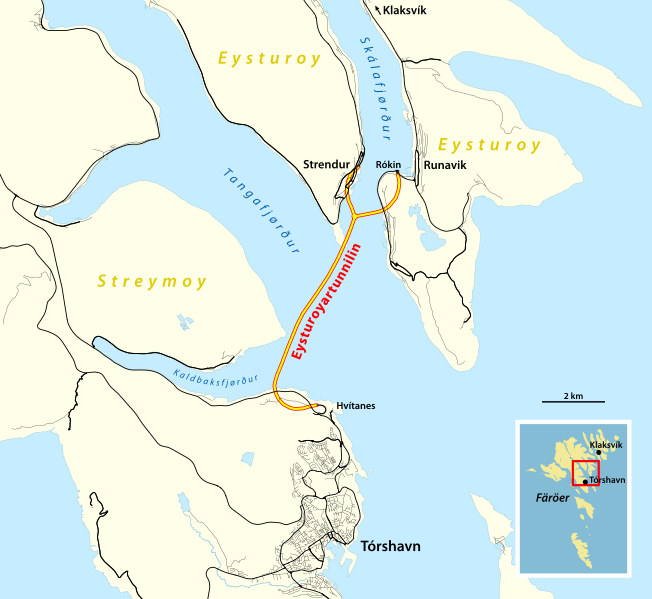
Deutsch: Karte des Eysturoyartunnilin |
|||
| Date | ||||
| Source |
Own work using:
|
|||
| Author | NordNordWest |

|
This map has been made or improved in the German Kartenwerkstatt (Map Lab). You can propose maps to improve as well.
|
Licensing
I, the copyright holder of this work, hereby publish it under the following licence:
This file is licensed under the Creative Commons Attribution-Share Alike 2.0 Generic licence.
- You are free:
- to share – to copy, distribute and transmit the work
- to remix – to adapt the work
- Under the following conditions:
- attribution – You must give appropriate credit, provide a link to the licence, and indicate if changes were made. You may do so in any reasonable manner, but not in any way that suggests the licensor endorses you or your use.
- share alike – If you remix, transform, or build upon the material, you must distribute your contributions under the same or compatible licence as the original.
File history
Click on a date/time to view the file as it appeared at that time.
| Date/Time | Thumbnail | Dimensions | User | Comment | |
|---|---|---|---|---|---|
| current | 17:52, 21 December 2020 | | 1,271 × 1,168 (616 KB) | wikimediacommons>NordNordWest | == {{int:filedesc}} == {{Information |description= {{de|1=Karte des Eysturoyartunnilin}} |source={{Own using}} * [http://www.openstreetmap.org/ OpenStreetMap] data {{ODbL OpenStreetMap}} |date=2020-12-21 |author={{U|NordNordWest}} |permission= |other_versions= }} {{Kartenwerkstatt}} == {{int:license-header}} == {{self|cc-by-sa-2.0}} Category:Eysturoyartunnilin Category:SVG maps of the Faroe Islands Category:Files by NordNordWest 0map, 2017 [[Catego... |
File usage
The following page uses this file: