Lom Hubečkova skála, břidlice.jpg
From Underfoot

Size of this preview: 800 × 369 pixels. Other resolutions: 320 × 148 pixels | 640 × 295 pixels | 1,024 × 472 pixels | 1,280 × 590 pixels | 4,000 × 1,844 pixels.
Original file (4,000 × 1,844 pixels, file size: 2.96 MB, MIME type: image/jpeg)
Summary
| Description |
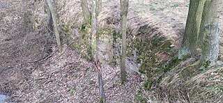
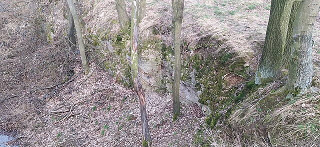
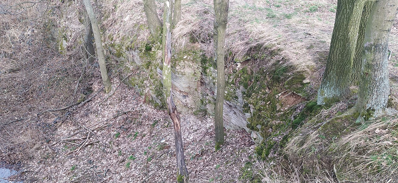
English: quarry Hlubečkova skála, Háj ve Slezsku, Czech Republic |
| Date | |
| Source | Own work |
| Author | Fry72 , Karel FRYDRÝŠEK |
| Camera location | | View this and other nearby images on: OpenStreetMap |
|---|
Licensing
I, the copyright holder of this work, hereby publish it under the following licence:
This file is licensed under the Creative Commons Attribution-Share Alike 3.0 Unported licence.
- You are free:
- to share – to copy, distribute and transmit the work
- to remix – to adapt the work
- Under the following conditions:
- attribution – You must give appropriate credit, provide a link to the licence, and indicate if changes were made. You may do so in any reasonable manner, but not in any way that suggests the licensor endorses you or your use.
- share alike – If you remix, transform, or build upon the material, you must distribute your contributions under the same or compatible licence as the original.
File history
Click on a date/time to view the file as it appeared at that time.
| Date/Time | Thumbnail | Dimensions | User | Comment | |
|---|---|---|---|---|---|
| current | 05:25, 16 March 2021 | | 4,000 × 1,844 (2.96 MB) | wikimediacommons>Fry72 | Uploaded own work with UploadWizard |
File usage
There are no pages that use this file.