Mijn Oranje Nassau - Ingenieurswoning - Landgraaf - RM521677.jpg
From Underfoot
No higher resolution available.
Mijn_Oranje_Nassau_-_Ingenieurswoning_-_Landgraaf_-_RM521677.jpg (400 × 267 pixels, file size: 36 KB, MIME type: image/jpeg)
Summary
| Description |
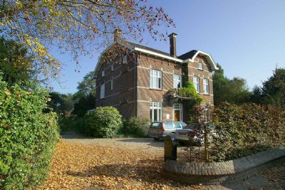
Nederlands: voorzijde pand
|
||
| Date | 30 September 2010 (upload date) | ||
| Source | Own work | ||
| Author | Strijthagerweg |
| Object location | | View this and other nearby images on: OpenStreetMap |
|---|
Licensing
This image was uploaded as part of Wiki Loves Monuments 2010.
|
I, the copyright holder of this work, hereby publish it under the following licence:
This file is licensed under the Creative Commons Attribution-Share Alike 3.0 Netherlands licence.
- You are free:
- to share – to copy, distribute and transmit the work
- to remix – to adapt the work
- Under the following conditions:
- attribution – You must give appropriate credit, provide a link to the licence, and indicate if changes were made. You may do so in any reasonable manner, but not in any way that suggests the licensor endorses you or your use.
- share alike – If you remix, transform, or build upon the material, you must distribute your contributions under the same or compatible licence as the original.

File history
Click on a date/time to view the file as it appeared at that time.
| Date/Time | Thumbnail | Dimensions | User | Comment | |
|---|---|---|---|---|---|
| current | 20:51, 30 September 2010 | | 400 × 267 (36 KB) | wikimediacommons>Strijthagerweg | Reverted to version as of 20:45, 30 September 2010 |
File usage
There are no pages that use this file.