Oignies - Cités de la fosse n° 6 des mines d'Ostricourt (17).JPG
From Underfoot
File:Oignies - Cités de la fosse n° 6 des mines d'Ostricourt (17).JPG

Size of this preview: 800 × 600 pixels. Other resolutions: 320 × 240 pixels | 640 × 480 pixels | 1,024 × 768 pixels | 1,280 × 960 pixels | 2,560 × 1,920 pixels | 3,648 × 2,736 pixels.
Original file (3,648 × 2,736 pixels, file size: 4.24 MB, MIME type: image/jpeg)
Summary
| Description |
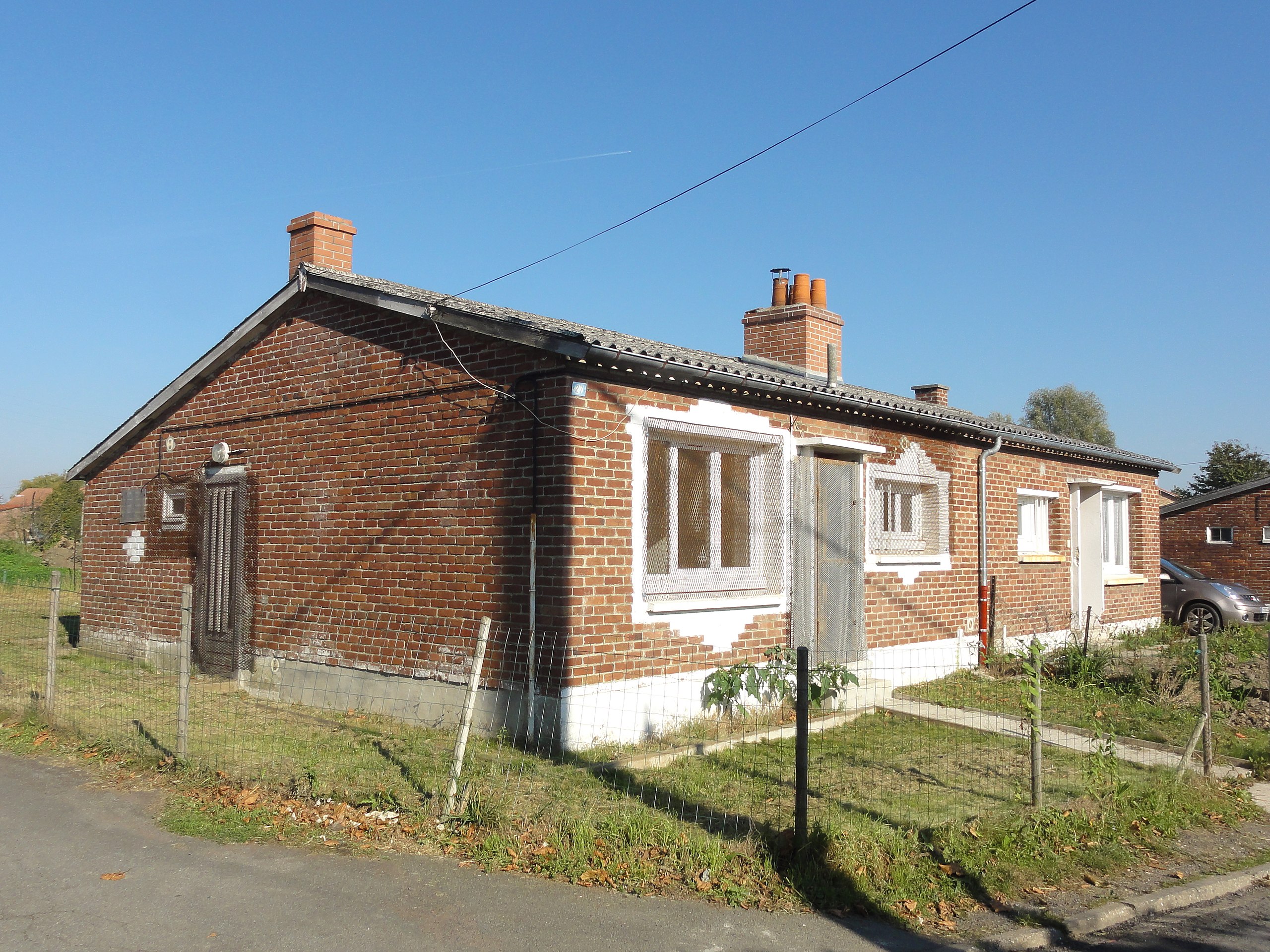
Français : Cités de la Fosse n° 6 de la Compagnie des mines d'Ostricourt, Ostricourt et Oignies, Nord et Pas-de-Calais, Nord-Pas-de-Calais, France. |
|||||||||||||||||||||||
| Date | ||||||||||||||||||||||||
| Source | Own work | |||||||||||||||||||||||
| Author |
|
|||||||||||||||||||||||
| Permission (Reusing this file) |
This file is licensed under the Creative Commons Attribution-Share Alike 3.0 Unported licence.
| |||||||||||||||||||||||
| Attribution (required by the licence) | Jérémy-Günther-Heinz Jähnick / Oignies - Cités de la fosse n° 6 des mines d'Ostricourt (17) / Wikimedia Commons / | |||||||||||||||||||||||
.JPG)
.JPG)
| Camera location | | View this and other nearby images on: OpenStreetMap |
|---|
.JPG¶ms=050.466902_N_0003.018643_E_globe:Earth_type:camera_heading:38.25&language=en-gb)
File history
Click on a date/time to view the file as it appeared at that time.
| Date/Time | Thumbnail | Dimensions | User | Comment | |
|---|---|---|---|---|---|
| current | 13:37, 21 October 2011 | | 3,648 × 2,736 (4.24 MB) | wikimediacommons>Jérémy-Günther-Heinz Jähnick |
File usage
The following 3 pages use this file:
.JPG)