Oya Gold Mine Ruins aerial photograph.jpg
From Underfoot
No higher resolution available.
Oya_Gold_Mine_Ruins_aerial_photograph.jpg (400 × 400 pixels, file size: 71 KB, MIME type: image/jpeg)
Summary
| Description |
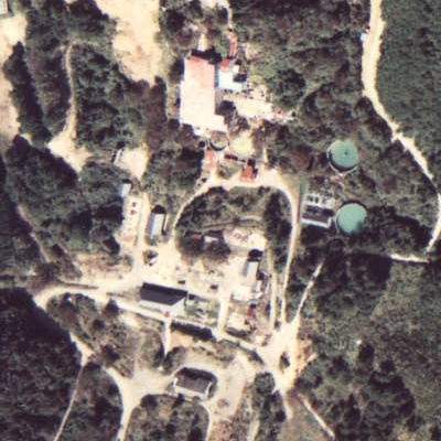
English: Aerial photograph of Oya Gold Mine Ruins in Motoyoshi Town, Miyagi Prefecture, this photo taken in fiscal year 1977
|
| Date | |
| Source |
National Land Information Web Mapping System |
| Author | Japanese Ministry of Land, Infrastructure, Transport and Tourism (retouched by Mukasora (talk)) |
| Camera location | | View this and other nearby images on: OpenStreetMap |
|---|
Licensing

|
The copyright holder of this file, Ministry of Land, Infrastructure, Transport and Tourism, allows anyone to use it for any purpose, provided that the copyright holder is properly attributed. Redistribution, derivative work, commercial use, and all other use is permitted. |
Attribution:
Copyright © National Land Image Information (Color Aerial Photographs), Ministry of Land, Infrastructure, Transport and Tourism
|
 |
This image is copyrighted by the Ministry of Land, Infrastructure, Transport and Tourism of Japan. For terms of use, see the stipulation to use of National Land Information (in Japanese) and message from MLIT (in Japanese and English). When you display this image on an article, include the following phrase in the description: "Made based on National Land Image Information (Color Aerial Photographs), Ministry of Land, Infrastructure, Transport and Tourism".
|
File history
Click on a date/time to view the file as it appeared at that time.
| Date/Time | Thumbnail | Dimensions | User | Comment | |
|---|---|---|---|---|---|
| current | 11:52, 8 July 2009 | | 400 × 400 (71 KB) | wikimediacommons>Mukasora | {{Information |Description={{en|1=Aerial photograph of Oya Gold Mine Ruins in Motoyoshi Town, Miyagi Prefecture, this photo taken in fiscal year 1977 }} {{ja|1=宮城県本吉郡本吉町にある大谷鉱山跡地付近� |
File usage
There are no pages that use this file.