Prosper haniel.jpg
From Underfoot
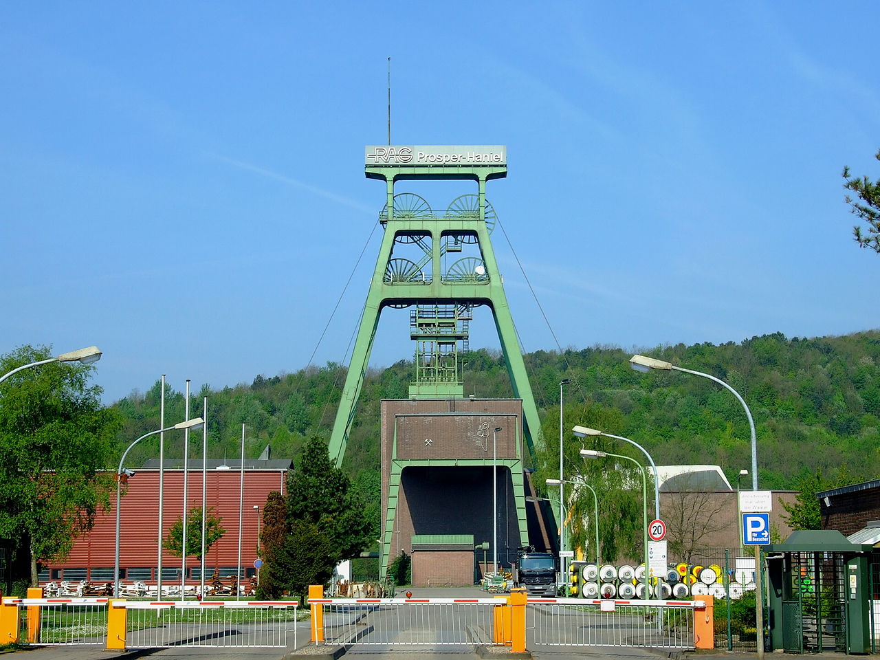
File:Prosper haniel.jpg

Size of this preview: 800 × 600 pixels. Other resolutions: 320 × 240 pixels | 640 × 480 pixels | 1,024 × 768 pixels | 1,280 × 960 pixels | 1,600 × 1,200 pixels.
Original file (1,600 × 1,200 pixels, file size: 686 KB, MIME type: image/jpeg)
Summary
| Description |
Deutsch: Schachtanlage Franz Haniel 1/2 |
| Date | |
| Source | Self-photographed |
| Author | Goseteufel |
| OpenStreetMap | Way 26324738 |
| Object location | | View this and other nearby images on: OpenStreetMap |
|---|
Licensing
Goseteufel, the copyright holder of this work, hereby publishes it under the following licence:

|
Permission is granted to copy, distribute and/or modify this document under the terms of the GNU Free Documentation Licence, Version 1.2 or any later version published by the Free Software Foundation; with no Invariant Sections, no Front-Cover Texts, and no Back-Cover Texts. A copy of the licence is included in the section entitled GNU Free Documentation Licence. |
| This file is licensed under the Creative Commons Attribution-Share Alike 3.0 Unported licence. | ||
Attribution:
| ||
| ||
| This licensing tag was added to this file as part of the GFDL licensing update. |
Original upload log
Transferred from de.wikipedia to Commons by Boteas using CommonsHelper.
The original description page was here. All following user names refer to de.wikipedia.
- 2008-05-18 13:30 Goseteufel 1600×1200 (702505 bytes) {{Information |Beschreibung = Schachtanlage Franz Haniel 1/2 |Quelle = selbst fotografiert |Urheber = ~~~ |Datum = 03.05.2008 |Genehmigung = |Andere Versionen = |Anmerkungen = }}
File history
Click on a date/time to view the file as it appeared at that time.
| Date/Time | Thumbnail | Dimensions | User | Comment | |
|---|---|---|---|---|---|
| current | 01:52, 10 June 2013 | | 1,600 × 1,200 (686 KB) | wikimediacommons>File Upload Bot (Magnus Manske) | Transfered from de.wikipedia by User:Boteas using CommonsHelper |
File usage
The following page uses this file: