Rüdersdorf asv2022-06 img1 Tagebau.jpg
From Underfoot
File:Rüdersdorf asv2022-06 img1 Tagebau.jpg
Original file (5,464 × 3,415 pixels, file size: 12.46 MB, MIME type: image/jpeg)
Summary
| Description |
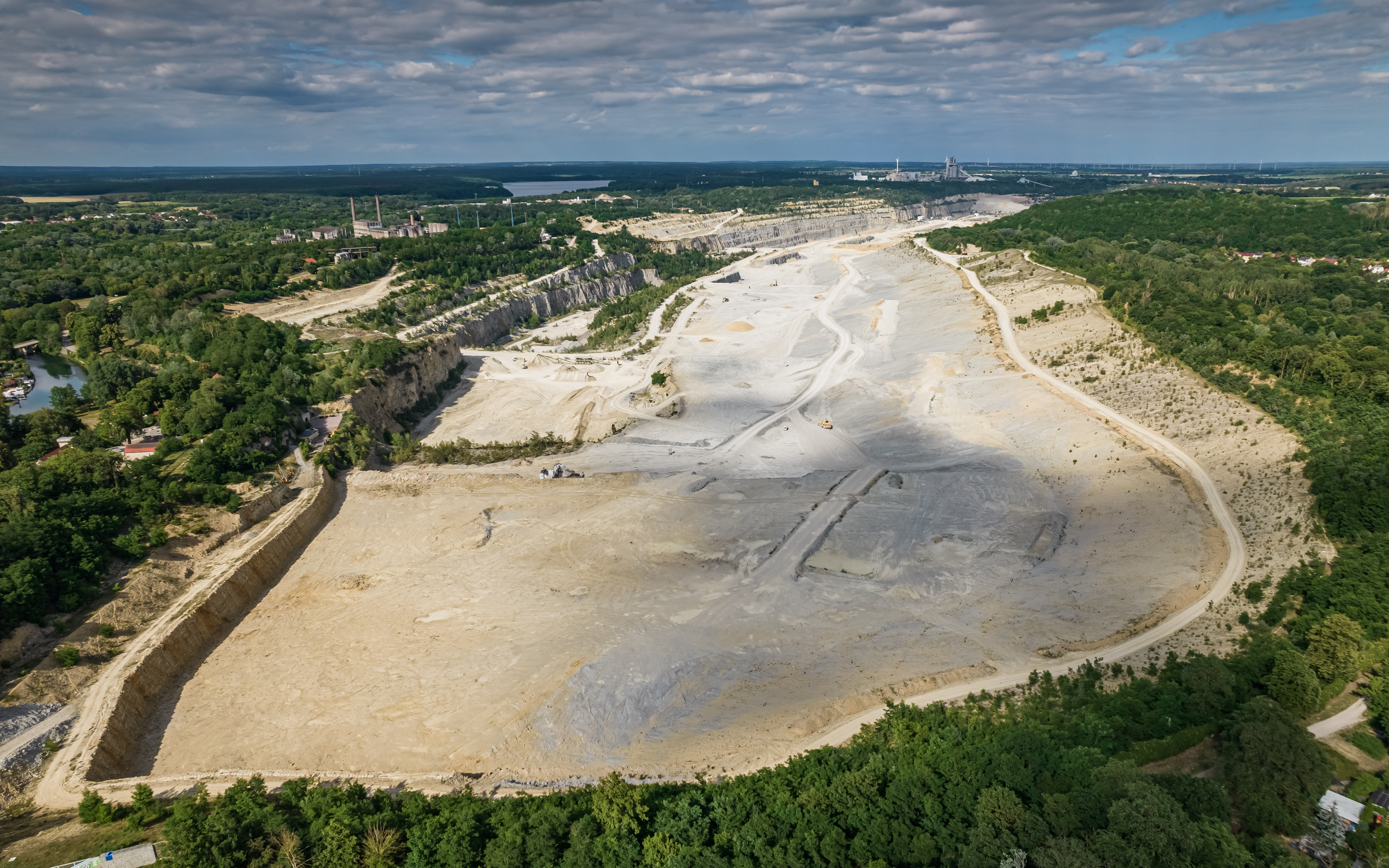
English: Aerial view of limestone quarry Rüdersdorf, Brandenburg, Germany
Deutsch: Luftaufnahme des Kalkstein-Tagebaus Rüdersdorf, Brandenburg, Deutschland
Русский: Аэрофотосъёмка известнякового карьера Рюдерсдорф, Бранденбург, Германия |
| Date | |
| Source | Own work |
| Author | A.Savin |
| Permission (Reusing this file) |
Free Art License. Free usage of the photo; usually no need to ask for approval. Лицензия Свободное искусство. Использование фотографии бесплатно; согласование обычно не требуется. Lizenz Freie Kunst. Nutzung des Fotos kostenlos; Anfrage in der Regel nicht erforderlich.
Thank you. |
| Camera location | | View this and other nearby images on: OpenStreetMap |
|---|
Licensing
| Copyleft: This work of art is free; you can redistribute it and/or modify it according to terms of the Free Art Licence. You will find a specimen of this licence on the Copyleft Attitude site as well as on other sites. |
File history
Click on a date/time to view the file as it appeared at that time.
| Date/Time | Thumbnail | Dimensions | User | Comment | |
|---|---|---|---|---|---|
| current | 21:39, 6 September 2022 | | 5,464 × 3,415 (12.46 MB) | wikimediacommons>A.Savin | {{User:A.Savin/F|L=0 |Description= {{en|Aerial view of limestone quarry Rüdersdorf, Brandenburg, Germany}} {{de|Luftaufnahme des Kalkstein-Tagebaus Rüdersdorf, Brandenburg, Deutschland}} {{ru|Аэрофотосъёмка известнякового карьера Рюдерсдорф, Бранденбург, Германия}} |Year=2022 |Country=Germany |Month=06 |Day=14}} {{Location}} Category:Taken with DJI FC3411 Category:June 2022 in Brandenburg Category:2022 in Landkreis Märkisch-Oderland Category:Aerial photographs of mines [[Cate... |
File usage
There are no pages that use this file.