Saptaparni Caves, Rajgir.jpg
From Underfoot

Size of this preview: 800 × 391 pixels. Other resolutions: 320 × 156 pixels | 640 × 313 pixels | 1,024 × 501 pixels | 1,280 × 626 pixels | 3,010 × 1,472 pixels.
Original file (3,010 × 1,472 pixels, file size: 1.83 MB, MIME type: image/jpeg)
Summary
| Description |
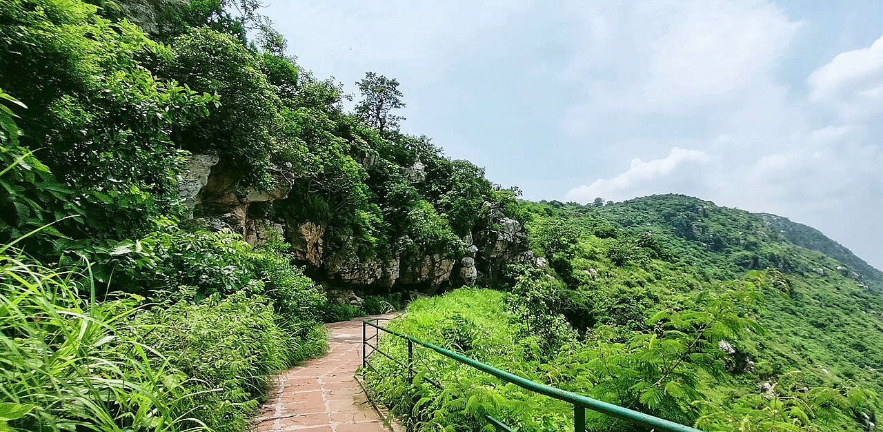
English: Saptaparni Caves, Vaibhar Giri Hills, Rajgir which was the site of first Buddhist Council. |
| Date | 29 August 2022 (from Exif) |
| Source | Own work |
| Author | RohitKrBiharSharif |
| Camera location | | View this and other nearby images on: OpenStreetMap |
|---|
Licensing
I, the copyright holder of this work, hereby publish it under the following licence:
This file is licensed under the Creative Commons Attribution-Share Alike 4.0 International licence.
- You are free:
- to share – to copy, distribute and transmit the work
- to remix – to adapt the work
- Under the following conditions:
- attribution – You must give appropriate credit, provide a link to the licence, and indicate if changes were made. You may do so in any reasonable manner, but not in any way that suggests the licensor endorses you or your use.
- share alike – If you remix, transform, or build upon the material, you must distribute your contributions under the same or compatible licence as the original.
| This file was uploaded via Mobile Android App (Commons mobile app) 4.1.0~1649d1e2c. |
File history
Click on a date/time to view the file as it appeared at that time.
| Date/Time | Thumbnail | Dimensions | User | Comment | |
|---|---|---|---|---|---|
| current | 08:37, 5 July 2023 | | 3,010 × 1,472 (1.83 MB) | wikimediacommons>Odantapuribs | Uploaded using Commons Mobile App |
File usage
There are no pages that use this file.