Steinbergstollen im Halltal.JPG
From Underfoot
File:Steinbergstollen im Halltal.JPG

Size of this preview: 800 × 536 pixels. Other resolutions: 320 × 214 pixels | 640 × 428 pixels | 1,024 × 685 pixels | 1,280 × 857 pixels | 2,560 × 1,714 pixels | 3,872 × 2,592 pixels.
Original file (3,872 × 2,592 pixels, file size: 5.65 MB, MIME type: image/jpeg)
Summary
| Description |
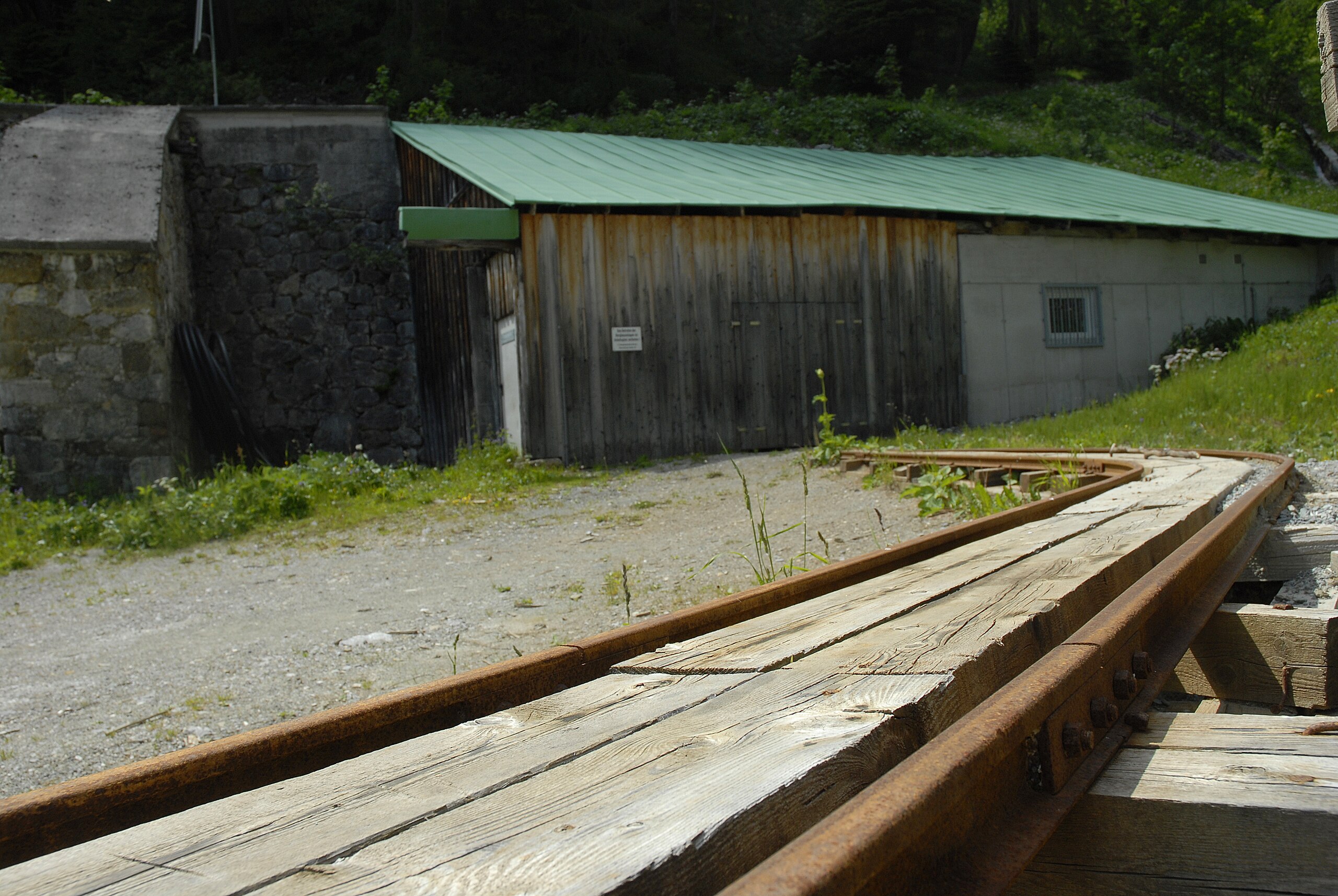
English: The entry of the Steinbergstollen (Salt mine, Halltal) |
| Date | |
| Source | Own work |
| Author | Haneburger |
| Camera location | | View this and other nearby images on: OpenStreetMap |
|---|
Licensing
| I, the copyright holder of this work, release this work into the public domain. This applies worldwide. In some countries this may not be legally possible; if so: I grant anyone the right to use this work for any purpose, without any conditions, unless such conditions are required by law. |
File history
Click on a date/time to view the file as it appeared at that time.
| Date/Time | Thumbnail | Dimensions | User | Comment | |
|---|---|---|---|---|---|
| current | 17:42, 30 June 2010 | | 3,872 × 2,592 (5.65 MB) | wikimediacommons>Haneburger | {{Information |Description={{en|1=The entry of the Steinbergstollen (Salt mine, Halltal)}} |Source={{own}} |Author=Haneburger |Date=2010-06-29 |Permission= |other_versions= }} {{location|47|19|31.48|N|11|28|24.86|E|region:AT_heading:NE |
File usage
The following page uses this file: