Třebíč, nádraží, výstavba podchodu.jpg
From Underfoot

Size of this preview: 800 × 600 pixels. Other resolutions: 320 × 240 pixels | 640 × 480 pixels | 1,024 × 768 pixels | 1,280 × 960 pixels | 2,560 × 1,920 pixels | 5,184 × 3,888 pixels.
Original file (5,184 × 3,888 pixels, file size: 7.38 MB, MIME type: image/jpeg)
| Description |
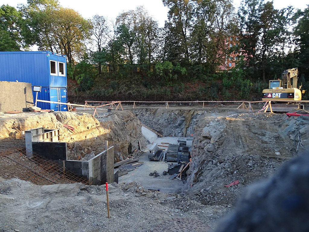
English: Třebíč-Horka-Domky, Třebíč District, Vysočina Region, Czechia, train station Třebíč, reconstruction.
|
||||
| Date | Taken on 22 September 2016 | ||||
| Source | Self-photographed | ||||
| Author | ŠJů | ||||
| Permission (Reusing this file) |
I, the copyright holder of this work, hereby publish it under the following licence: This file is licensed under the Creative Commons Attribution 4.0 International licence. Attribution: ŠJů, Wikimedia Commons
|
File history
Click on a date/time to view the file as it appeared at that time.
| Date/Time | Thumbnail | Dimensions | User | Comment | |
|---|---|---|---|---|---|
| current | 10:36, 18 March 2017 | | 5,184 × 3,888 (7.38 MB) | wikimediacommons>ŠJů | {{Information |Description= {{cs|1=Třebíč-cs:Horka-Domky, Nádražní, Třebíč, nádraží, výstavba podchodu.}} {{en|1=Třebíč-Horka-Domky, Třebíč District, [[:en:Vysočin... |
File usage
There are no pages that use this file.