Tongrube (Walldürn).jpg
From Underfoot
File:Tongrube (Walldürn).jpg

Size of this preview: 800 × 343 pixels. Other resolutions: 320 × 137 pixels | 640 × 274 pixels | 1,024 × 439 pixels | 1,280 × 549 pixels | 3,840 × 1,646 pixels.
Original file (3,840 × 1,646 pixels, file size: 1.28 MB, MIME type: image/jpeg)
.jpg)
Summary
| Description |
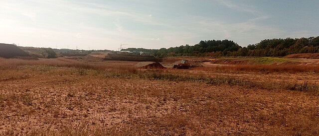
Deutsch: Tongrube der Fa. Braas bei Walldürn |
| Date | 15 September 2023 (from Exif) |
| Source | Own work |
| Author | Granpar |
| Camera location | | View this and other nearby images on: OpenStreetMap |
|---|
.jpg¶ms=049.594292_N_0009.398231_E_globe:Earth_type:camera__&language=en-gb)
Licensing
I, the copyright holder of this work, hereby publish it under the following licence:
This file is licensed under the Creative Commons Attribution 3.0 Unported licence.
- You are free:
- to share – to copy, distribute and transmit the work
- to remix – to adapt the work
- Under the following conditions:
- attribution – You must give appropriate credit, provide a link to the licence, and indicate if changes were made. You may do so in any reasonable manner, but not in any way that suggests the licensor endorses you or your use.
| This file was uploaded via Mobile Android App (Commons mobile app) 3.1.1~1c9267ca0. |
File history
Click on a date/time to view the file as it appeared at that time.
| Date/Time | Thumbnail | Dimensions | User | Comment | |
|---|---|---|---|---|---|
| current | 14:41, 15 September 2023 | | 3,840 × 1,646 (1.28 MB) | wikimediacommons>Granpar | Uploaded using Commons Mobile App |
.jpg)