Tunnel du Loup (Extrémité Ouest).JPG
From Underfoot
File:Tunnel du Loup (Extrémité Ouest).JPG
Size of this preview: 800 × 600 pixels. Other resolutions: 320 × 240 pixels | 640 × 480 pixels | 1,024 × 768 pixels | 1,280 × 960 pixels | 2,592 × 1,944 pixels.
Original file (2,592 × 1,944 pixels, file size: 1.24 MB, MIME type: image/jpeg)
.JPG)
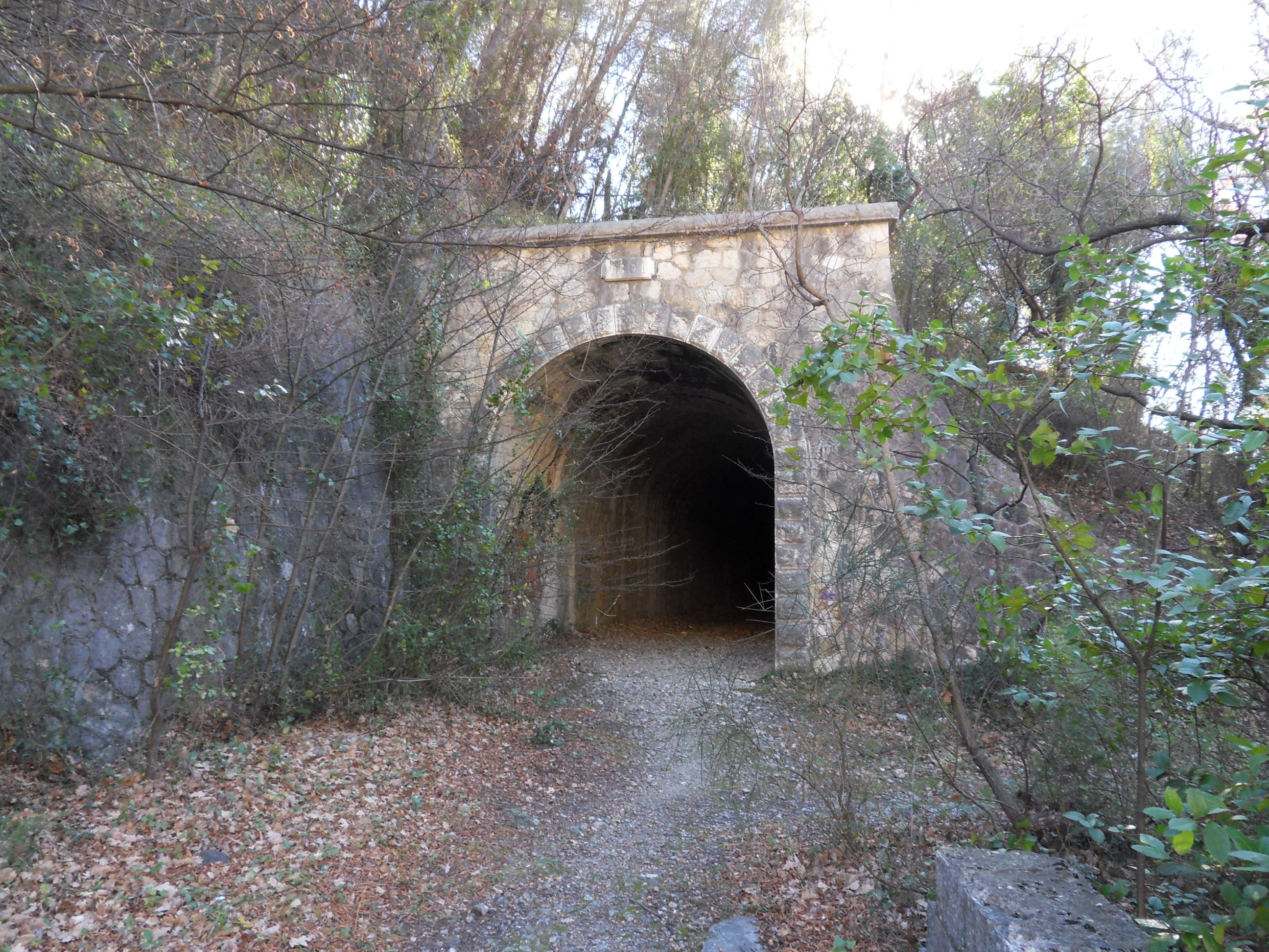
| Description | Ligne Central-Var. Pont du Loup. Le tunnel du Loup (Vue de l'extrémité côté ouest du tunnel). |
| Date | |
| Source | Own work |
| Author | G CHP |
| Permission (Reusing this file) |
Attribution ShareAlike 2.5 |
| Object location | | View this and other nearby images on: OpenStreetMap |
|---|
.JPG¶ms=043.719628_N_0006.993834_E_globe:Earth_class:object_type:object__&language=en-gb)
This file is licensed under the Creative Commons Attribution-Share Alike 2.5 Generic licence.
- You are free:
- to share – to copy, distribute and transmit the work
- to remix – to adapt the work
- Under the following conditions:
- attribution – You must give appropriate credit, provide a link to the licence, and indicate if changes were made. You may do so in any reasonable manner, but not in any way that suggests the licensor endorses you or your use.
- share alike – If you remix, transform, or build upon the material, you must distribute your contributions under the same or compatible licence as the original.
File history
Click on a date/time to view the file as it appeared at that time.
| Date/Time | Thumbnail | Dimensions | User | Comment | |
|---|---|---|---|---|---|
| current | 07:21, 7 April 2016 | | 2,592 × 1,944 (1.24 MB) | wikimediacommons>G CHP | {{Information |Description= Ligne Central-Var. Pont du Loup. Le tunnel du Loup (Vue de l'extrémité ouest du tunnel). |Source={{Own}} |Date= 2016-02-04 |Author= G CHP |Permission=Attribution ShareAli... |
File usage
The following page uses this file:
.JPG)