Vermelles - Fosse n° 4 des mines de Béthune (A).jpg
From Underfoot

Size of this preview: 450 × 600 pixels. Other resolutions: 180 × 240 pixels | 360 × 480 pixels | 576 × 768 pixels | 768 × 1,024 pixels | 1,536 × 2,048 pixels | 2,599 × 3,465 pixels.
Original file (2,599 × 3,465 pixels, file size: 3.79 MB, MIME type: image/jpeg)
.jpg)
| Description |
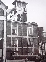
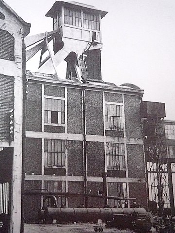
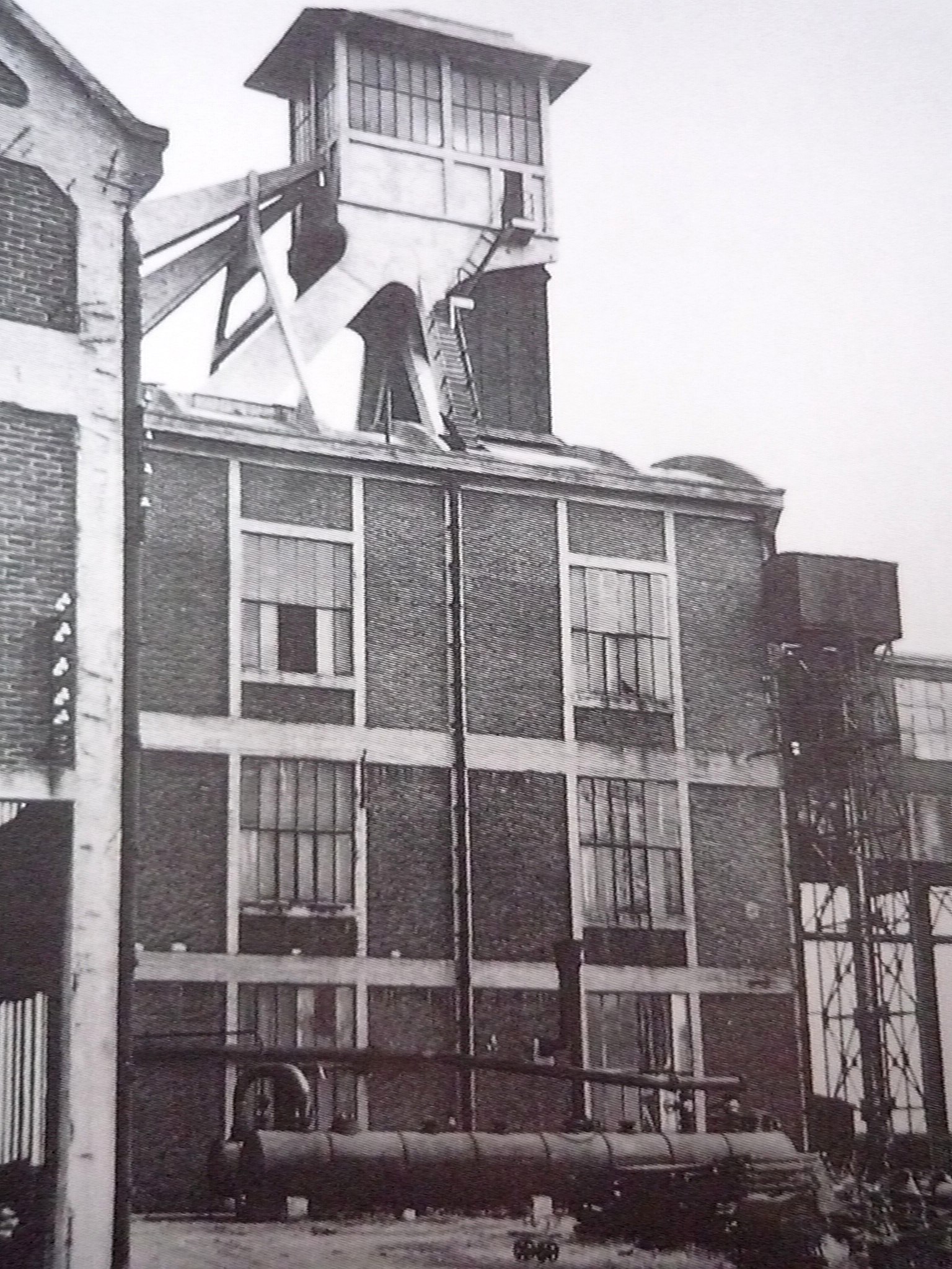
Français : La Fosse n° 4 de la Compagnie des mines de Béthune était un charbonnage constitué d'un seul puits situé à Vermelles, Pas-de-Calais, Nord-Pas-de-Calais, France. |
||||
| Date | circa 1930 | ||||
| Source |
Français : Carte postale ancienne, scannée et modifiée par JÄNNICK Jérémy. |
||||
| Author | Unknown author | ||||
| Permission (Reusing this file) |
|
||||
| Other versions |
.jpg) |
||||
| Object location | | View this and other nearby images on: OpenStreetMap |
|---|
.jpg¶ms=050.487244_N_0002.752414_E_globe:Earth_class:object_type:object_scale:1000_region:FR_&language=en-gb)
File history
Click on a date/time to view the file as it appeared at that time.
| Date/Time | Thumbnail | Dimensions | User | Comment | |
|---|---|---|---|---|---|
| current | 17:52, 27 January 2011 | | 2,599 × 3,465 (3.79 MB) | wikimediacommons>Jérémy-Günther-Heinz Jähnick | {{Information |Description ={{fr|1=La '''Fosse n° 4''' de la Compagnie des mines de Béthune était un charbonnage constitué d'un seul puits situé à Vermelles, [[:fr:Pas-de-Calais|Pas-de-Cal |
File usage
There are no pages that use this file.
.jpg)