View from Edgehill - geograph.org.uk - 37614.jpg
From Underfoot
No higher resolution available.
View_from_Edgehill_-_geograph.org.uk_-_37614.jpg (640 × 480 pixels, file size: 130 KB, MIME type: image/jpeg)
Summary
| Description |
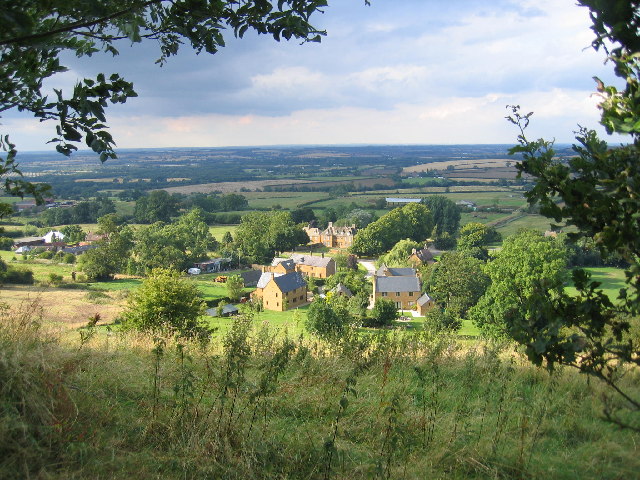
English: View from Edgehill. Looking NNE from the Edgehill escarpment, with Arlescote at the foot and then across towards Kineton in the distance, with the site of the Battle of Edge Hill some 2-3 miles away. |
| Date | |
| Source | From geograph.org.uk |
| Author | David Stowell |
| Attribution (required by the licence) | David Stowell / View from Edgehill / |
| Object location | | View this and other nearby images on: OpenStreetMap |
|---|
_&language=en-gb)
Licensing

|
This image was taken from the Geograph GB & Eire project collection. See this photograph's page on the Geograph website for the photographer's contact details. The copyright on this image is owned by David Stowell, and is licensed for reuse under the Creative Commons Attribution Share-Alike 2.0 license.
|
This file is licensed under the Creative Commons Attribution-Share Alike 2.0 Generic licence.
Attribution:
David Stowell
- You are free:
- to share – to copy, distribute and transmit the work
- to remix – to adapt the work
- Under the following conditions:
- attribution – You must give appropriate credit, provide a link to the licence, and indicate if changes were made. You may do so in any reasonable manner, but not in any way that suggests the licensor endorses you or your use.
- share alike – If you remix, transform, or build upon the material, you must distribute your contributions under the same or compatible licence as the original.
File history
Click on a date/time to view the file as it appeared at that time.
| Date/Time | Thumbnail | Dimensions | User | Comment | |
|---|---|---|---|---|---|
| current | 18:32, 30 January 2010 | | 640 × 480 (130 KB) | wikimediacommons>GeographBot | == {{int:filedesc}} == {{Information |description={{en|1=View from Edgehill. Looking NNE from the Edgehill escarpment, with Arlescote at the foot and then across towards Kineton in the distance, with the site of the Battle of Edge Hill some 2-3 miles away |
File usage
There are no pages that use this file.