Zeche Werne Schacht 3 IMGP2174 smial wp.jpg
From Underfoot
Original file (2,474 × 3,426 pixels, file size: 6.69 MB, MIME type: image/jpeg)
Summary
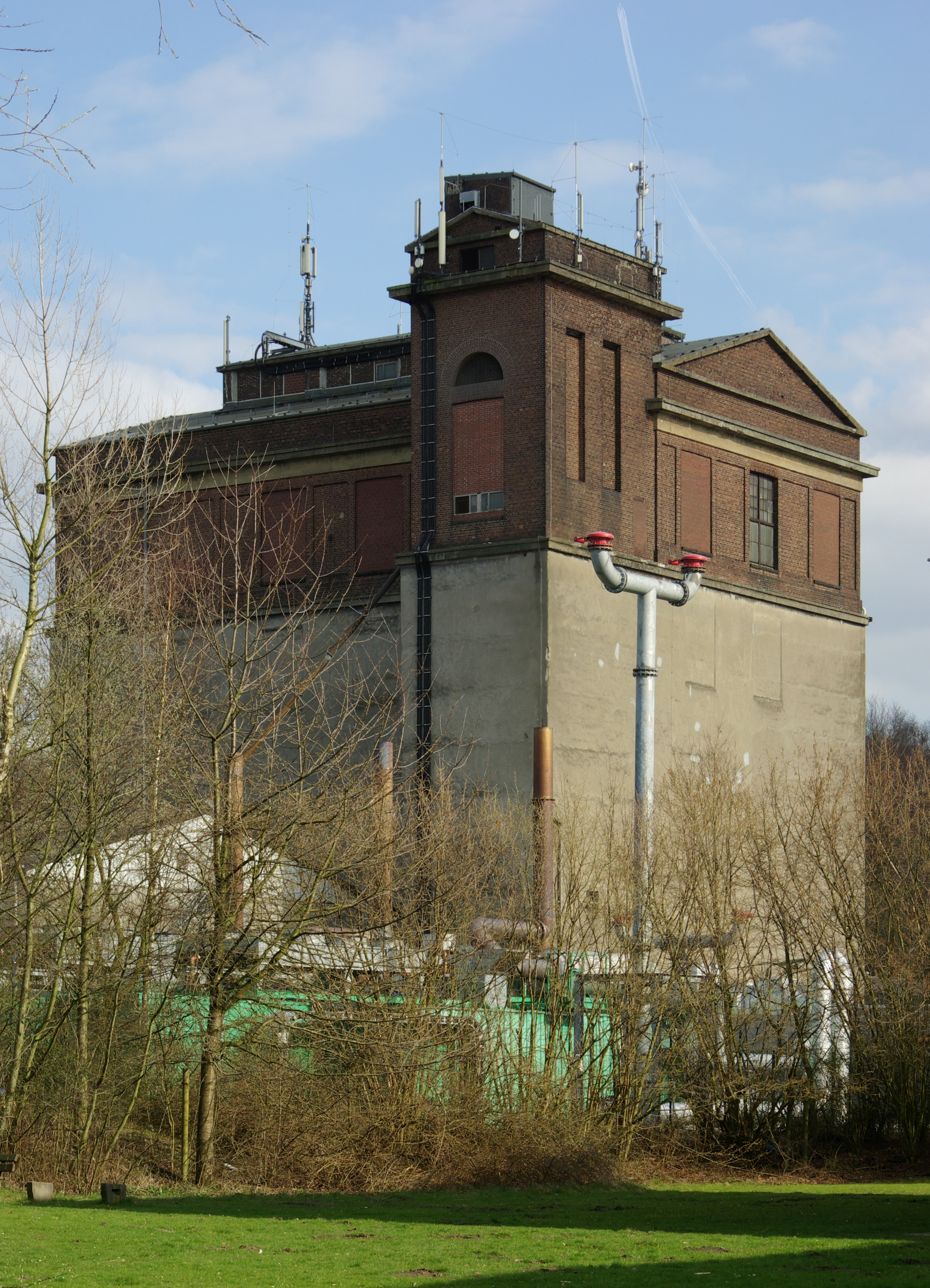
| Description | Bergkamen-Rünthe, Zeche Werne Schacht III ehemalige Kohlewäsche |
| Date | |
| Source | Own work |
| Author | Smial (talk) |
| Camera location | | View this and other nearby images on: OpenStreetMap |
|---|
Licensing
 |
 Flexible licenses: Feel free to choose one of the free licenses stated below. Usage is free of charge, but this image is not in the public domain. If you would like special permission to use, or license this image please contact me to negotiate terms. Using online: For an example of reusing my images look at the right. It shows the name and a link to the used license. Using in printed media: Whether near the image or in a separate image directory, it should be specified: |
Copyleft: This work of art is free; you can redistribute it and/or modify it according to terms of the Free Art Licence. You will find a specimen of this licence on the Copyleft Attitude site as well as on other sites.
|

|
Permission is granted to copy, distribute and/or modify this document under the terms of the GNU Free Documentation Licence, Version 1.2 only as published by the Free Software Foundation; with no Invariant Sections, no Front-Cover Texts, and no Back-Cover Texts. A copy of the licence is included in the section entitled GNU Free Documentation Licence. | 1.2 only |
File history
Click on a date/time to view the file as it appeared at that time.
| Date/Time | Thumbnail | Dimensions | User | Comment | |
|---|---|---|---|---|---|
| current | 08:45, 20 October 2012 | | 2,474 × 3,426 (6.69 MB) | wikimediacommons>Smial |
File usage
There are no pages that use this file.