Oregon Caves National Monument
From Underfoot
Q1187702
national monument in the United States.
ORCA
Website, Wikimedia, Wikidata
1909
national preserve, National Monument, National monument, show cave, United States,  ,
, .jpg)
- Freebase entry@
- Wikimedia Maps of Oregon Caves National Monument
Location: 42.095, -123.405,
KML,
Maps
 Direct illumination from across passage not very effective because of dirty formation. The Bee Hive, Oregon Caves.
 Formation along trail near entrance known as the Petrified Garden. Oregon Caves National Monument. (5fa6812b6fec448292e6bddd4968a573)
 Group of men standing at the entrance to the Oregon Caves, Josephine County, Oregon, 1923-1925 (AL+CA 1563)
 HPC-000765.jpg (0364d071e0a14d06b766636b8bde020f)
 Larest column at extreme bottom of Caves. Formation dirty and only general illumination attempted. The Grand Column.
 Lower entrance. First switch control in rear of rock on right side of trail. The Entrance to the Oregon Caves.
 Millers Chapel
 Millers Chapel at Oregon Caves National Monument and Preserve (91adf671-1dd8-b71b-0b02-8abdec20fc82)
 On the way to the Cave; Forest Highway built by Bureau of Public Roads.
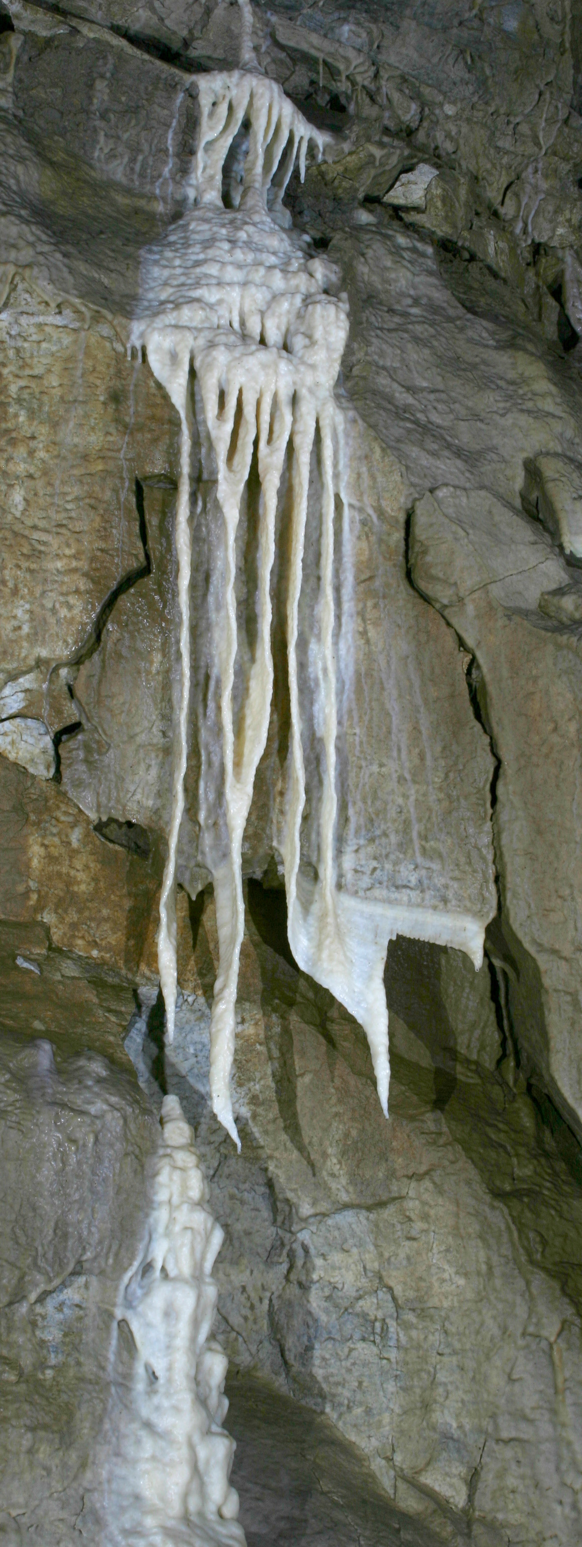 Orca angel falls cropped
 Orca banana grove drapery
 Orca millers chapel
 Orca niagara-ceiling
 Orca paradise lost
 Oregon Caves Headquarters Area
 Oregon Caves NPres Bigelow Lakes
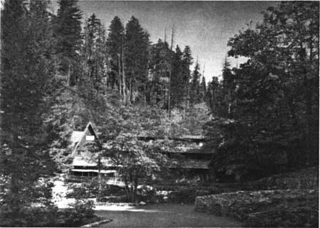 Oregon Caves Plaza
 Oregon Caves p1080453 1024
 Oregon Caves p1080458 1024
 Port Oxford Cedar along Grayback Creek. Oregon Caves National Monument. (487914d150a943e28534d5a6e1016597)
 Site of the first and most effective use of red light. Very striking. The Coral Gardens.
 Sunset at Bigelow Lakes (928b2a72-1dd8-b71b-0bb5-66a429c14fd3)
 This root system in cave is 40 feet underground and is part of a living tree. The tree is a Douglas Fir. Oregon Caves National (cb434cac7ed949d7a332141eac617a9a)
 Typical location along passageway showing problem to provide overhead illumination and concealment of cables and fixtures. Cathedral Arch.
.jpg)
.jpg)
.jpg)
.jpg)
.jpg)
.jpg)
.jpg)
Individual site searches
Google custom search of specialist sites
Google custom search of general sites