Q56663882: Difference between revisions
From Underfoot
Q56663882
(Bot: Automated import of articles) |
(Bot: Automated import of articles *** existing text overwritten ***) |
||
| Line 1: | Line 1: | ||
{{Page|Tyndrum, lead mines and associated remains|Sites|architectural structure in Stirling, Scotland, UK}} | {{Page|Tyndrum, lead mines and associated remains|Sites|architectural structure in Stirling, Scotland, UK|}} | ||
Latest revision as of 06:56, 21 November 2024
architectural structure in Stirling, Scotland, UK.
Wikimedia, Wikidata
cultural heritage ensemble, lead mine, United Kingdom, 
Location: 56.436, -4.726, ///clocked.intruding.clincher,
KML,
Maps
 Collapsed Adit - Tyndrum Lead Mine
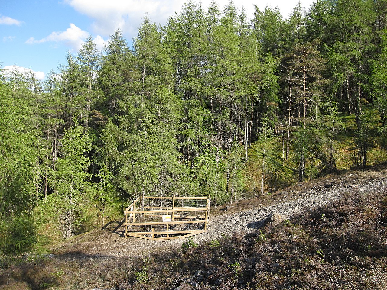 Fenced off mineshaft
 Lead Mine on Sron nan Colan
 Lead mines on Sron nan Colan
 Lead mines, Tyndrum. - geograph.org.uk - 76792
 Lead mine spoil - geograph.org.uk - 1219128
 Tyndrum Mine - geograph.org.uk - 309261
| Type | Date | Description | Keywords | Notes | Source |
|---|---|---|---|---|---|
| mine | Coille Bhràghad | silver mine | Wikidata | ||
| mine | Cononish Gold Mine | gold mine | Wikidata | ||
| image | 2013 | Collapsed Adit - Tyndrum Lead Mine | Wikimedia | ||
| image | 2010 | Fenced off mineshaft | Wikimedia | ||
| image | 2010 | Lead Mine on Sron nan Colan | Wikimedia | ||
| image | 2010 | Lead mines on Sron nan Colan | Wikimedia | ||
| image | 1996 | Lead mines, Tyndrum. - geograph.org.uk - 76792 | Wikimedia | ||
| image | 2009 | Lead mine spoil - geograph.org.uk - 1219128 | Wikimedia | ||
| image | 2006 | Tyndrum Mine - geograph.org.uk - 309261 | Wikimedia | ||
Individual site searches
Google custom search of specialist sites
Google custom search of general sites