Bunkermuseum Wn 12H
From Underfoot
bunkers in Vlieland, Netherlands
Wikimedia, Wikidata
Atlantic Wall, Netherlands,

link={{{3}}}
Atlantic Wall, Netherlands,

-
Location: 53.2996, 5.0377, KML, Cluster Map, Maps,
2 places
-

Atlantic Wall at Terschelling ⓘ
military fortification in the Netherlands -

Bunkermuseum Wn 12H ⓘ
bunkers in Vlieland, Netherlands
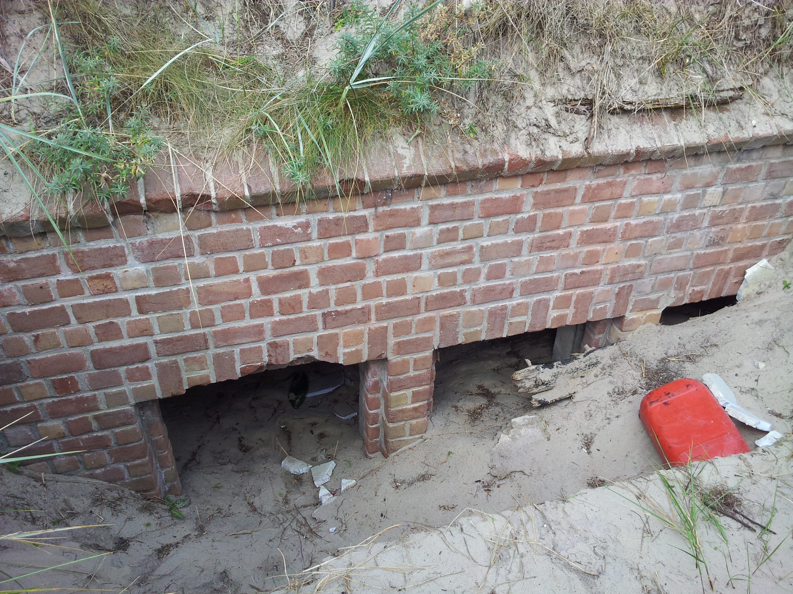 Vlieland Stelling 12H West-2
 Vlieland Stelling 12H Central 4
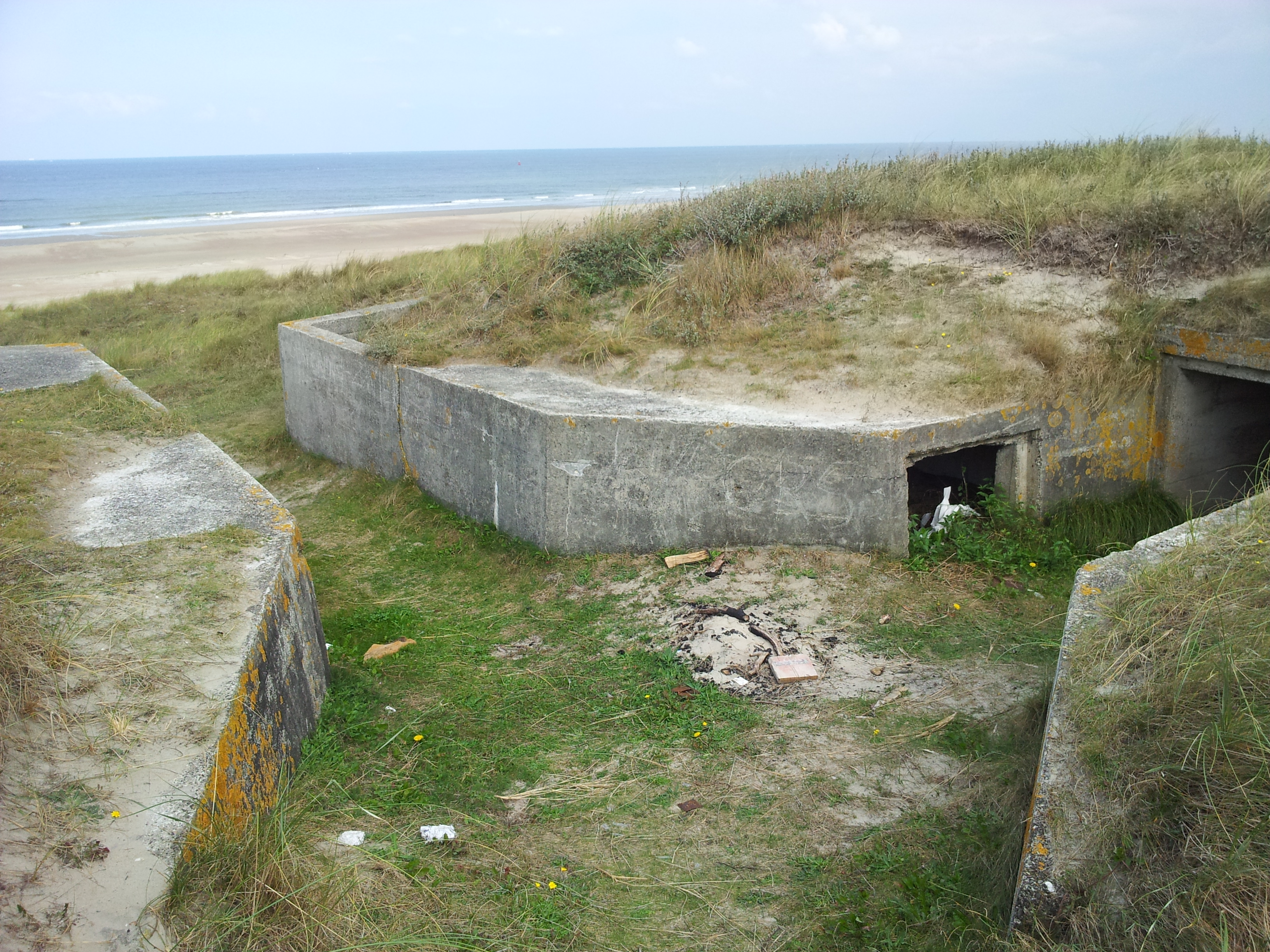 Vlieland Stelling 12H Central 2
 Vlieland Stelling 12H West-3
 Vlieland Stelling 12H Central 3
 Stelling 12H Vlieland Central 1Vlieland Stelling 12H West-2
 Vlieland Stelling 12H West-1Vlieland Stelling 12H West-3
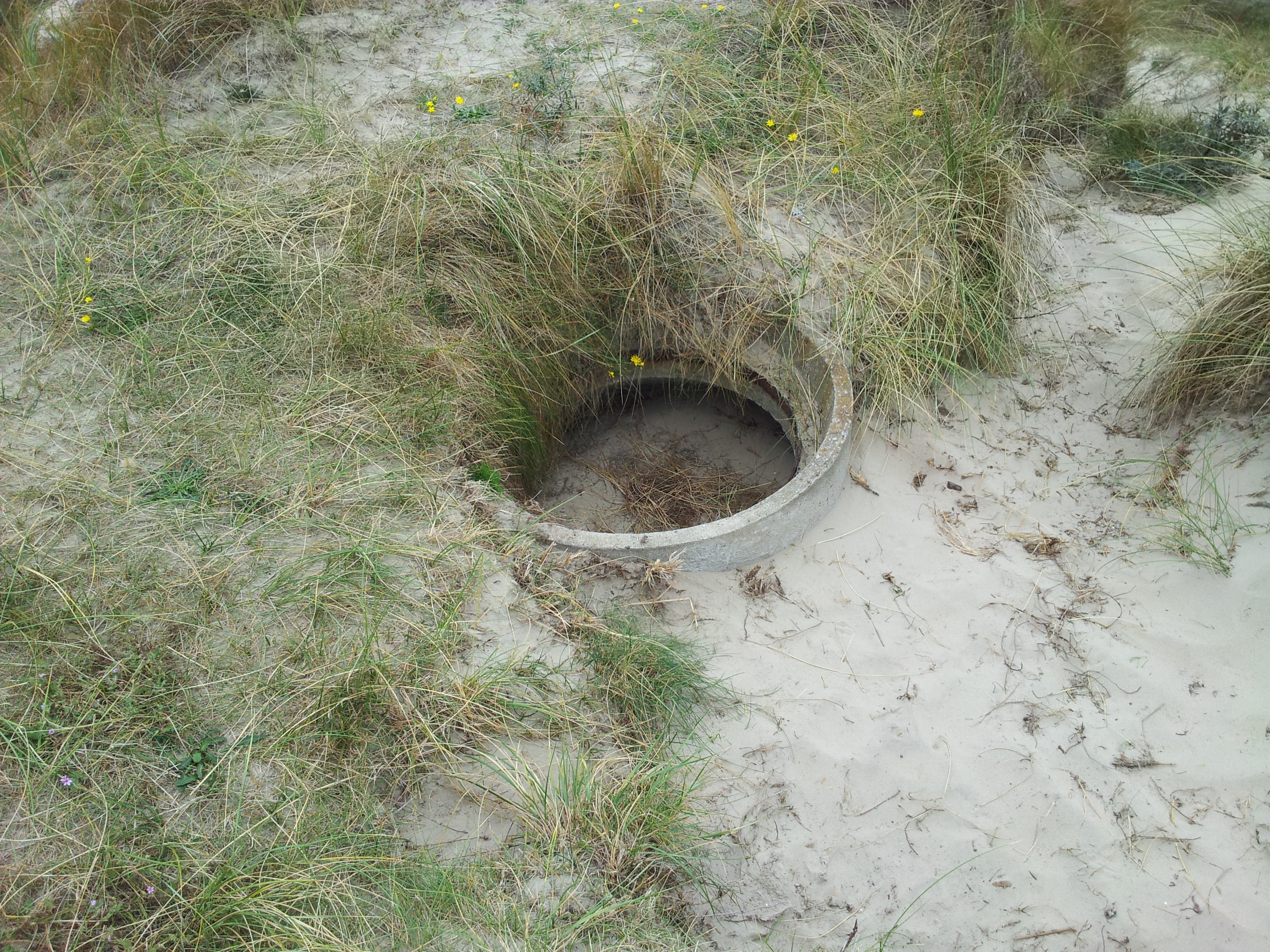 Vlieland Stelling 12H East
| Type | Subtype | Date | Description | Notes | Source |
|---|---|---|---|---|---|
| site | bunker | Atlantic Wall at Terschelling | bunker | Wikidata | |
| site | bunker | Bunkermuseum Wn 12H | nature area, bunker, museum | Wikidata | |
| commons | image | Vlieland Stelling 12H West-2 | Commons | ||
| commons | image | Vlieland Stelling 12H Central 4 | Commons | ||
| commons | image | Vlieland Stelling 12H Central 2 | Commons | ||
| commons | image | Vlieland Stelling 12H West-3 | Commons | ||
| commons | image | Vlieland Stelling 12H Central 3 | Commons | ||
| commons | image | Stelling 12H Vlieland Central 1 | Commons | ||
| commons | image | Vlieland Stelling 12H West-2 | Commons | ||
| commons | image | Vlieland Stelling 12H West-1 | Commons | ||
| commons | image | Vlieland Stelling 12H West-3 | Commons | ||
| commons | image | Vlieland Stelling 12H East | Commons | ||