Snoqualmie Tunnel
From Underfoot
Q7548051
Q7548051
The Snoqualmie Tunnel is a former railroad tunnel near Snoqualmie Pass in the U.S. state of Washington, located east of Seattle. The tunnel crosses the Cascade Range about three miles (5 km) south of the pass, which is used by Interstate 90, on the border between King County and Kittitas County. It is 11,894 feet long and is at an approximate elevation of 2,600 feet (790 m) above sea level, just north of Keechelus Lake. Its east portal is at Hyak.
Wikimedia, Wikidata
Palouse to Cascades State Park Trail, United States, 
-
Location: 47.3953, -121.445, KML, Cluster Map, Maps,
1 places
-

Snoqualmie Tunnel ⓘ
tunnel in Washington, United States
 Snoqualmie TunnelSnoqualmie Tunnel
 Iron Horse Trail under Snoqualmie Pass (1769479901)Iron Horse Trail under Snoqualmie Pass (1769479901)
 IronHorseTrail
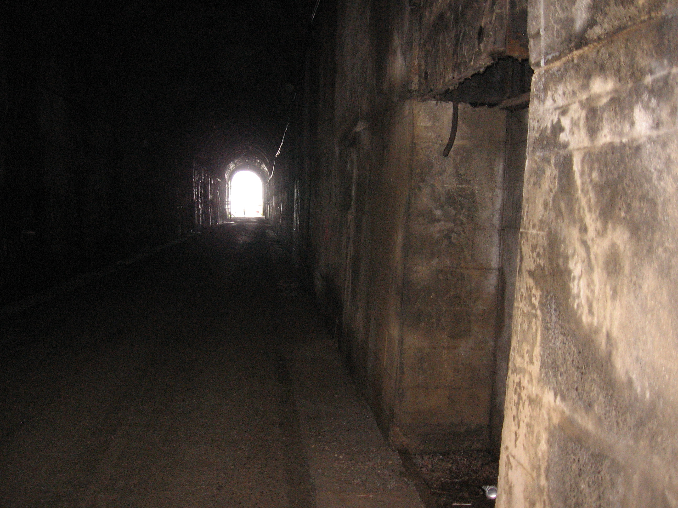 Tunnel inside
 Tunnel west
 Tunnel nametopIronHorseTrailTunnel inside
| Type | Subtype | Date | Description | Notes | Source |
|---|---|---|---|---|---|
| site | tunnel | Snoqualmie Tunnel | Chicago, Milwaukee, St. Paul and Pacific Railroad, railway tunnel | Wikidata | |
| commons | image | Snoqualmie Tunnel | Commons | ||
| commons | image | Snoqualmie Tunnel | Commons | ||
| commons | image | Iron Horse Trail under Snoqualmie Pass (1769479901) | Commons | ||
| commons | image | Iron Horse Trail under Snoqualmie Pass (1769479901) | Commons | ||
| commons | image | IronHorseTrail | Commons | ||
| commons | image | Tunnel inside | Commons | ||
| commons | image | Tunnel west | Commons | ||
| commons | image | Tunnel nametop | Commons | ||
| commons | image | IronHorseTrail | Commons | ||
| commons | image | Tunnel inside | Commons | ||
.jpg)