Marble Arch Caves
From Underfoot
Q739118
Q739118
The Marble Arch Caves are a series of natural limestone caves located near the village of Florencecourt in County Fermanagh, Northern Ireland. The caves are named after the nearby Marble Arch, a natural limestone arch at the upstream end of Cladagh Glen under which the Cladagh River flows. The caves are formed from three rivers draining off the northern slopes of Cuilcagh mountain, which combine underground to form the Cladagh. On the surface, the river emerges from the largest karst resurgence in Ireland, and one of the largest in the United Kingdom. At 11.5 kilometres (7.1 mi), the Marble Arch Caves form the longest known cave system in Northern Ireland, and the karst is considered to be among the finest in the British Isles.
United Kingdom,

- Subterranea Britannica page@
Location: 54.2584, -7.8143, KML, Cluster Map, Maps, ![]()
8 places
-

Badger Pot ⓘ
caves found in County Fermanagh, Northern Ireland -

Boho Caves ⓘ
cave in United Kingdom -
Marble Arch Caves ⓘ
Caves -

Marble Arch Caves ⓘ
cave
-

Noon's Hole ⓘ
cave in Northern Ireland -

Shannon Cave ⓘ
cave in United Kingdom -
Wild Cats Hole ⓘ
-
Service Tunnel ⓘ
tunnel in Enniskillen, County Fermanagh, Northern Ireland
 The Shannon
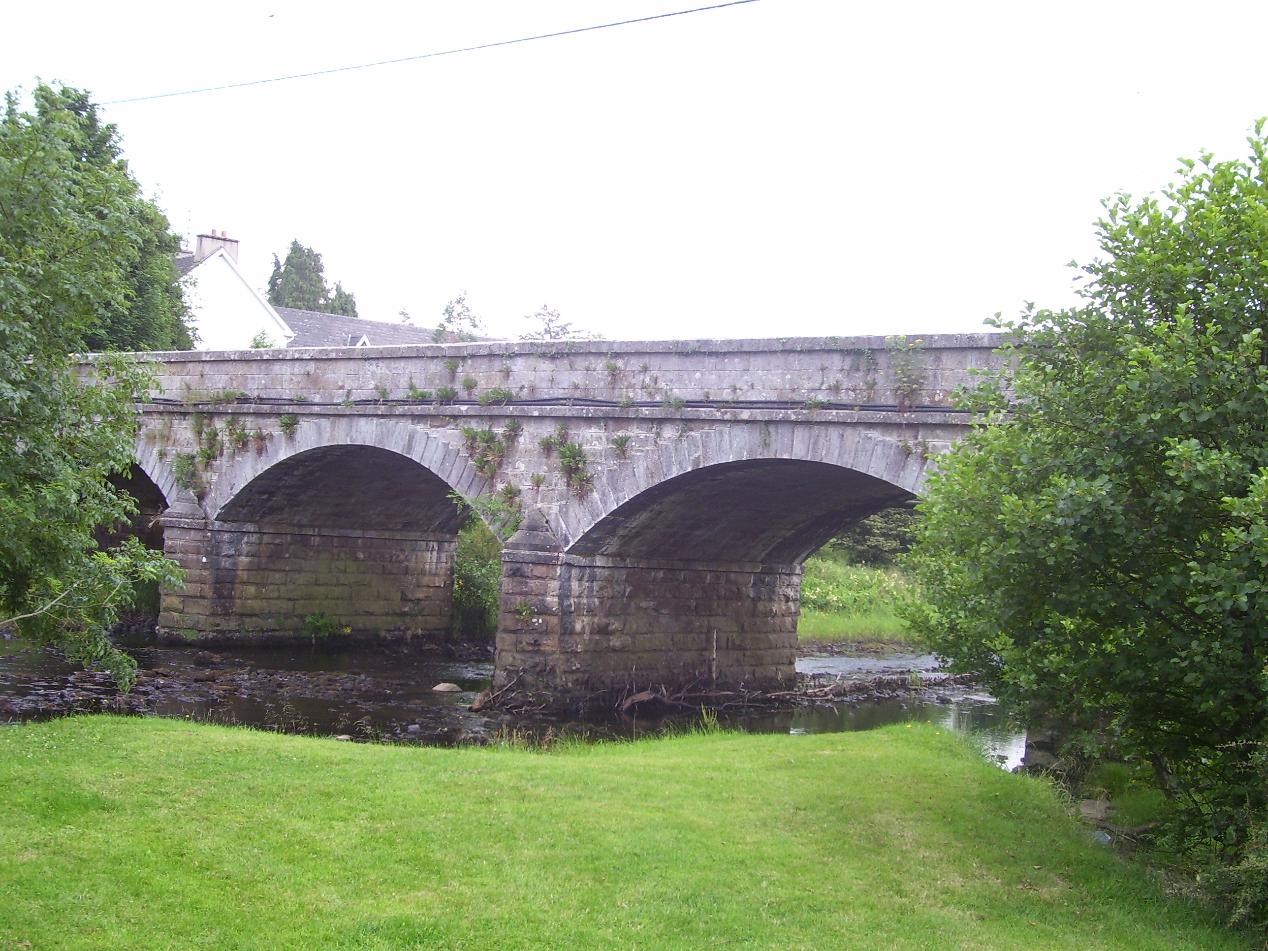 Dowra Bridge
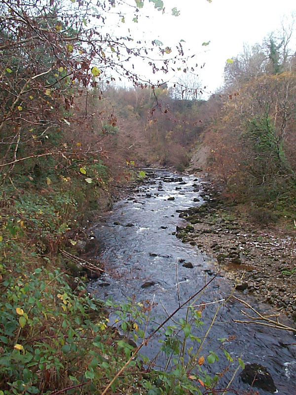 Cladagh River in Cladagh Glen, County Fermanagh
 Bannagh River
 Drummoney Falls
 Correl Glen
 Overlooking Garvagh and Lough Eske
 Gateway at Knockageehan
 Gortalughany Townland
 Garvagh Lough
| Type | Subtype | Date | Description | Notes | Source |
|---|---|---|---|---|---|
| link | page | Subterranea Britannica page@ | Wikidata | ||
| site | cave | Badger Pot | cave | Wikidata | |
| site | cave | Boho Caves | cave | Wikidata | |
| site | cave | Marble Arch Caves | cave | Wikidata | |
| site | cave | Marble Arch Caves | show cave | Wikidata | |
| site | cave | Noon's Hole | cave | Wikidata | |
| site | cave | Shannon Cave | cave | Wikidata | |
| site | cave | Wild Cats Hole | cave | Wikidata | |
| site | tunnel | Service Tunnel | tunnel | Wikidata | |
| commons | image | The Shannon | Commons | ||
| commons | image | Dowra Bridge | Commons | ||
| commons | image | Cladagh River in Cladagh Glen, County Fermanagh | Commons | ||
| commons | image | Bannagh River | Commons | ||
| commons | image | Drummoney Falls | Commons | ||
| commons | image | Correl Glen | Commons | ||
| commons | image | Overlooking Garvagh and Lough Eske | Commons | ||
| commons | image | Gateway at Knockageehan | Commons | ||
| commons | image | Gortalughany Townland | Commons | ||
| commons | image | Garvagh Lough | Commons | ||