Cherokee Caverns
From Underfoot
Q131782875
Cherokee Caverns is 14 miles west of Knoxville and can be accessed by Highway 62. It is gated.
Wikimedia, Wikidata
United States,

link={{{3}}}
United States,

-
Location: 35.98, -84.1651, KML, Cluster Map, Maps,
1 places
-

Cherokee Caverns ⓘ
cave in Tennessee, United States
 Map of caverns with location of streets overlaid, shown under the floorplans of street level Lemp Brewery buildings. From Collection of manuscript maps of Cherokee Caverns - DPLA - 7ccc8172eb3bf281fffcec1dd4015474
 Dripstonecolumns3665 (7234451296)
 Stalactiteslab3694 (7234476570)
 Dripstone3653 (7234423658)
 Perimyotis subflavus
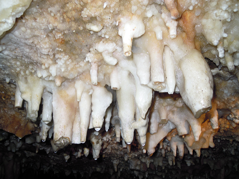 Closeupdripstone3642 (7234395838)
 Historic photo
 Historic photoHistoric photoHistoric photo
| Type | Subtype | Date | Description | Notes | Source |
|---|---|---|---|---|---|
| site | cave | Cherokee Caverns | cave | Wikidata | |
| commons | image | Map of caverns with location of streets overlaid, shown under the floorplans of street level Lemp Brewery buildings. From Collection of manuscript maps of Cherokee Caverns - DPLA - 7ccc8172eb3bf281fffcec1dd4015474 | Commons | ||
| commons | image | Dripstonecolumns3665 (7234451296) | Commons | ||
| commons | image | Stalactiteslab3694 (7234476570) | Commons | ||
| commons | image | Dripstone3653 (7234423658) | Commons | ||
| commons | image | Perimyotis subflavus | Commons | ||
| commons | image | Closeupdripstone3642 (7234395838) | Commons | ||
| commons | image | Historic photo | Commons | ||
| commons | image | Historic photo | Commons | ||
| commons | image | Historic photo | Commons | ||
| commons | image | Historic photo | Commons | ||
.jpg)
.jpg)
.jpg)
.jpg)