Hill Annex Mine State Park
From Underfoot
Q14692644
Hill-Annex Mine State Park is a former state park of Minnesota, United States, interpreting the open-pit mining heritage of the Mesabi Range. The park was located north of the city of Calumet, in Itasca County, Minnesota. The park provided access to fossil material exposed by mining from the Cretaceous era Coleraine Formation.
1988 Website,
Wikimedia, WikidataUnited States,

- National Register of Historic Places listed place page@
- National Register of Historic Places page@
Location: 47.3358, -93.2669, KML, Cluster Map, Maps,
2 places
-

Hull–Rust–Mahoning Open Pit Iron Mine ⓘ
open pit iron mine in Hibbing, Minnesota, United States -

Hill Annex Mine State Park ⓘ
state park in Itasca County, Minnesota, USA
1988-01-01T00:00:00Z
1988-01-01T00:00:00Z
1988 Hill Annex Mine State Park
{"selectable":false,"showCurrentTime":false,"width":"100%","zoomMin":100000000000}
 Hill-Annex Mine State ParkHill-Annex Mine State Park
 Mesabi Trail Information Signs, Calumet, Minnesota (36837779473)
 Hill Annex Mine State Park - Picnic Area - Minnesota (37458812636)
 Fossil snail shell impressions in shale from the Cretaceous period Coleraine formation in Minnesota.
 Fossil shark tooth, genus Squalicorax, from the Cretaceous Western Interior Seaway Coleraine formation in Minnesota.
 Fossil fish scale from the Cretaceous period Coleraine formation in Minnesota.
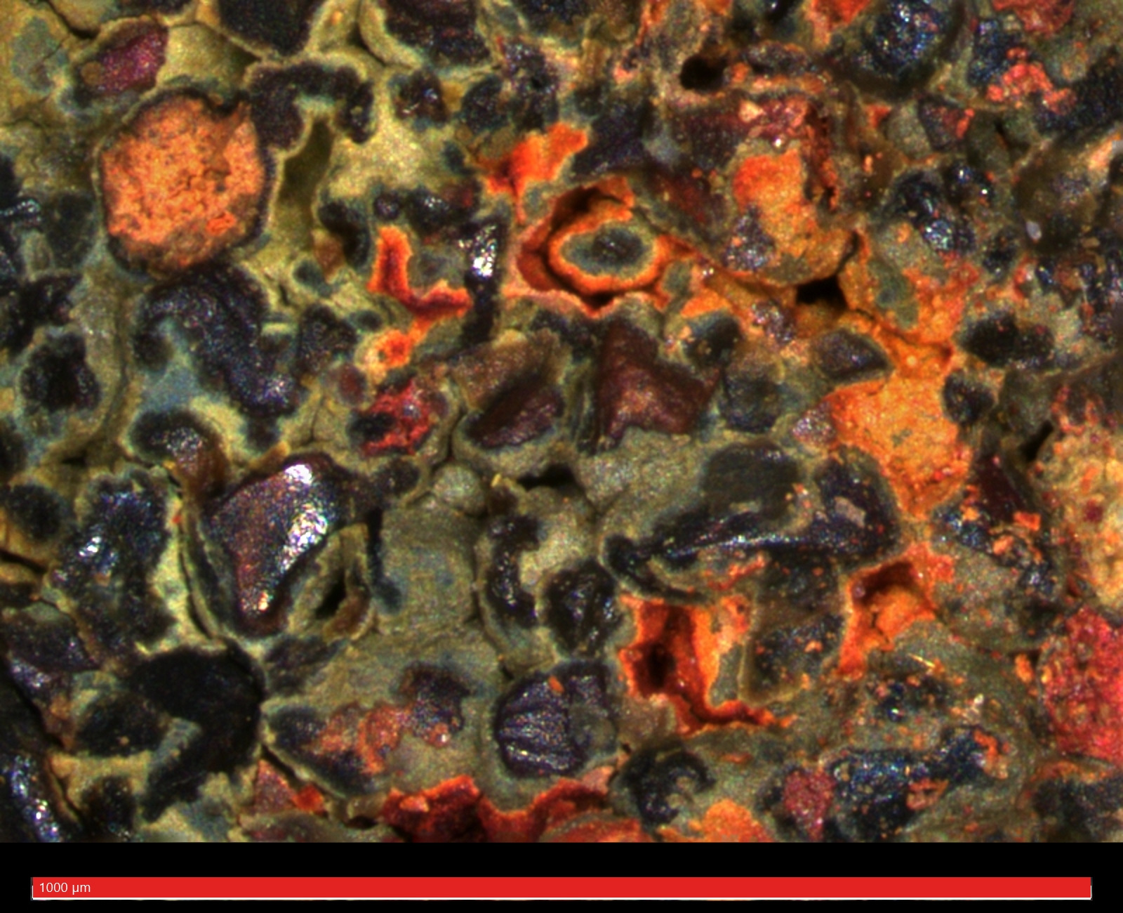 Blue-green shale from the Cretaceous period Coleraine formation in Minnesota.
 Hill-Annex Mine
.jpg)
.jpg)