Trou qui souffle
From Underfoot
Q16681305
'
Wikimedia, Wikidata
France,

link={{{3}}}
France,

-
Location: 45.1506, 5.5169, KML, Cluster Map, Maps,
20 places
-

Caves of Thaïs ⓘ
cave in France -

Choranche cave ⓘ
cave in France -

Cuves de Sassenage ⓘ
caves in France -

Gouffre Berger ⓘ
cave in France -

Gournier Cave ⓘ
-

grotte de la cheminée ⓘ
-
grotte de la Draye Blanche ⓘ
-

grotte de la Luire ⓘ
cave in France -

grotte du Brudour ⓘ
-

grotte Vallier ⓘ
-
Scialet de Malaterre ⓘ
-

Trou qui souffle ⓘ
-

Grands Goulets ⓘ
-
tunnel d'Uriol ⓘ
-

tunnel du Grand Brion ⓘ
-
tunnel du Petit Brion ⓘ
-
tunnel du Petit Brion ⓘ
-

voûte de Vizille ⓘ
-

tunnel du Mortier ⓘ
-

Tunnel de Sinard ⓘ
{"selectable":false,"showCurrentTime":false,"width":"100%","zoomMin":100000000000}
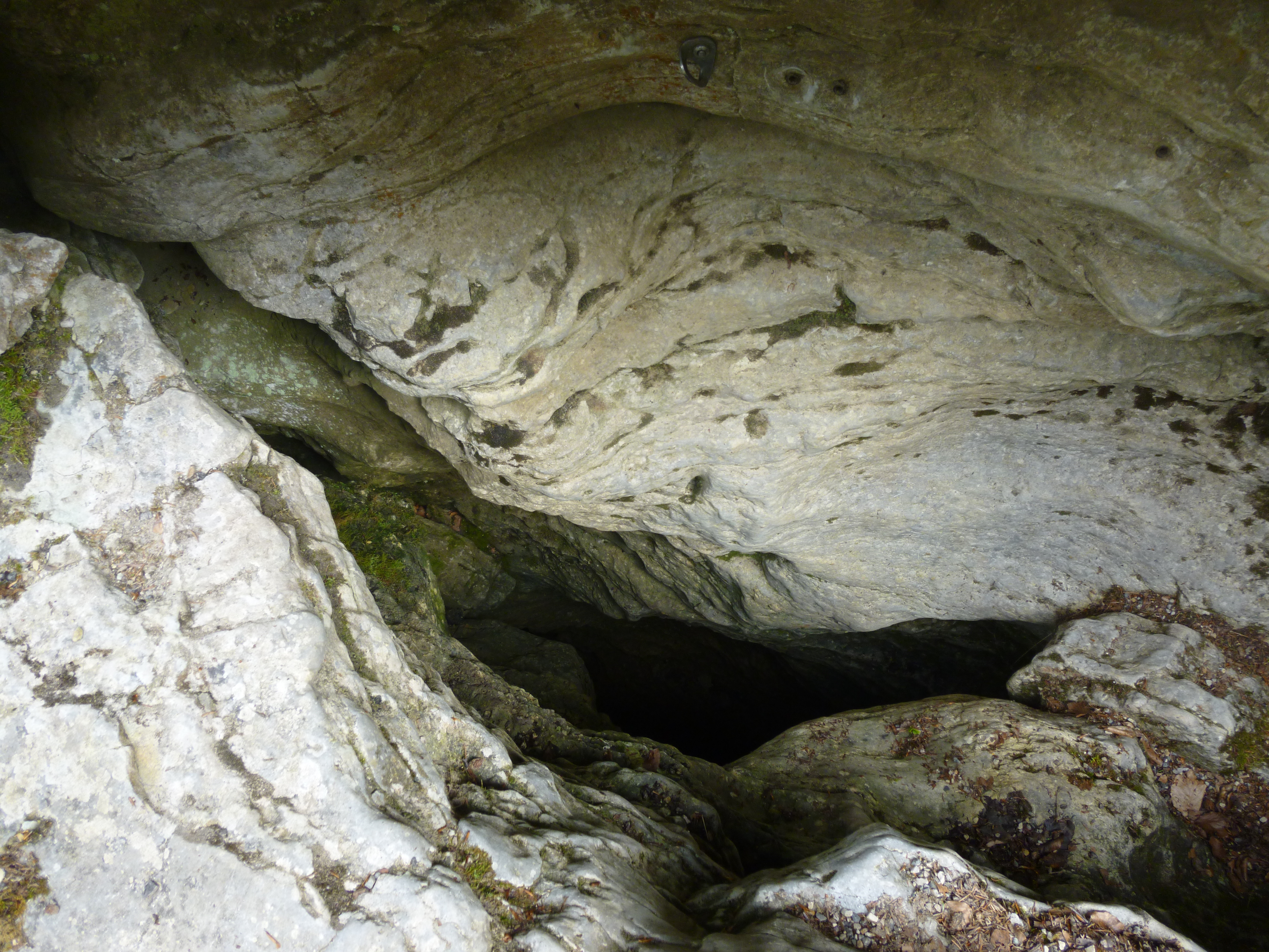 Entrée historique du Trou qui souffle
 Entrée historique du Trou qui souffle située au bord de la route foretière
 Entrée des Saints de Glace
| Type | Subtype | Date | Description | Notes | Source |
|---|---|---|---|---|---|
| site | cave | Caves of Thaïs | show cave | Wikidata | |
| site | cave | Choranche cave | show cave | Wikidata | |
| site | cave | Cuves de Sassenage | show cave, spring | Wikidata | |
| site | cave | Gouffre Berger | pit cave | Wikidata | |
| site | cave | Gournier Cave | cave | Wikidata | |
| site | cave | grotte de la cheminée | cave | Wikidata | |
| site | cave | grotte de la Draye Blanche | grotto, cave | Wikidata | |
| site | cave | grotte de la Luire | cave | Wikidata | |
| site | cave | grotte du Brudour | cave | Wikidata | |
| site | cave | grotte Vallier | cave | Wikidata | |
| site | cave | Scialet de Malaterre | cave | Wikidata | |
| site | cave | Trou qui souffle | cave | Wikidata | |
| site | tunnel | Grands Goulets | road tunnel, canyon | Wikidata | |
| site | tunnel | tunnel d'Uriol | tunnel | Wikidata | |
| site | tunnel | tunnel du Grand Brion | railway tunnel | Wikidata | |
| site | tunnel | tunnel du Petit Brion | tunnel | Wikidata | |
| site | tunnel | tunnel du Petit Brion | tunnel | Wikidata | |
| site | tunnel | voûte de Vizille | pedestrian tunnel, road tunnel, railway tunnel | Wikidata | |
| site | tunnel | 1967 | tunnel du Mortier | road tunnel | Wikidata |
| site | tunnel | 2007 | Tunnel de Sinard | road tunnel | Wikidata |
| commons | image | Entrée historique du Trou qui souffle | Commons | ||
| commons | image | Entrée historique du Trou qui souffle située au bord de la route foretière | Commons | ||
| commons | image | Entrée des Saints de Glace | Commons | ||