Bingham Canyon Mine
From Underfoot
The Bingham Canyon Mine, more commonly known as Kennecott Copper Mine among locals, is an open-pit mining operation extracting a large porphyry copper deposit southwest of Salt Lake City, Utah, in the Oquirrh Mountains. The mine is the largest human-made excavation, and deepest open-pit mine in the world, which is considered to have produced more copper than any other mine in history – more than 19,000,000 short tons. The mine is owned by Rio Tinto Group, a British-Australian multinational corporation. The copper operations at Bingham Canyon Mine are managed through Kennecott Utah Copper Corporation which operates the mine, a concentrator plant, a smelter, and a refinery. The mine has been in production since 1906, and has resulted in the creation of a pit over 0.75 miles (1,210 m) deep, 2.5 miles (4 km) wide, and covering 1,900 acres. It was designated a National Historic Landmark in 1966 under the name Bingham Canyon Open Pit Copper Mine. The mine experienced a massive landslide in April 2013 and a smaller slide in September 2013.
1863
Wikimedia, WikidataBingham Canyon Open Pit Copper Mine; Bingham Copper Mine; Bingham Copper Mining Pit; Kennecott Copper Mine
United States,
_-_Salt_Lake_County,_Utah_-_May_11,_2012.jpg)
- National Register of Historic Places listed place page@
- National Register of Historic Places page@
- Sketchfab page@
Location: 40.5222, -112.1494, KML, Cluster Map, Maps,
1 places
-

Bingham Canyon Mine ⓘ
copper mine in Salt Lake County, Utah, United States
 1952 Topographic map of Bingham Canyon, Utah
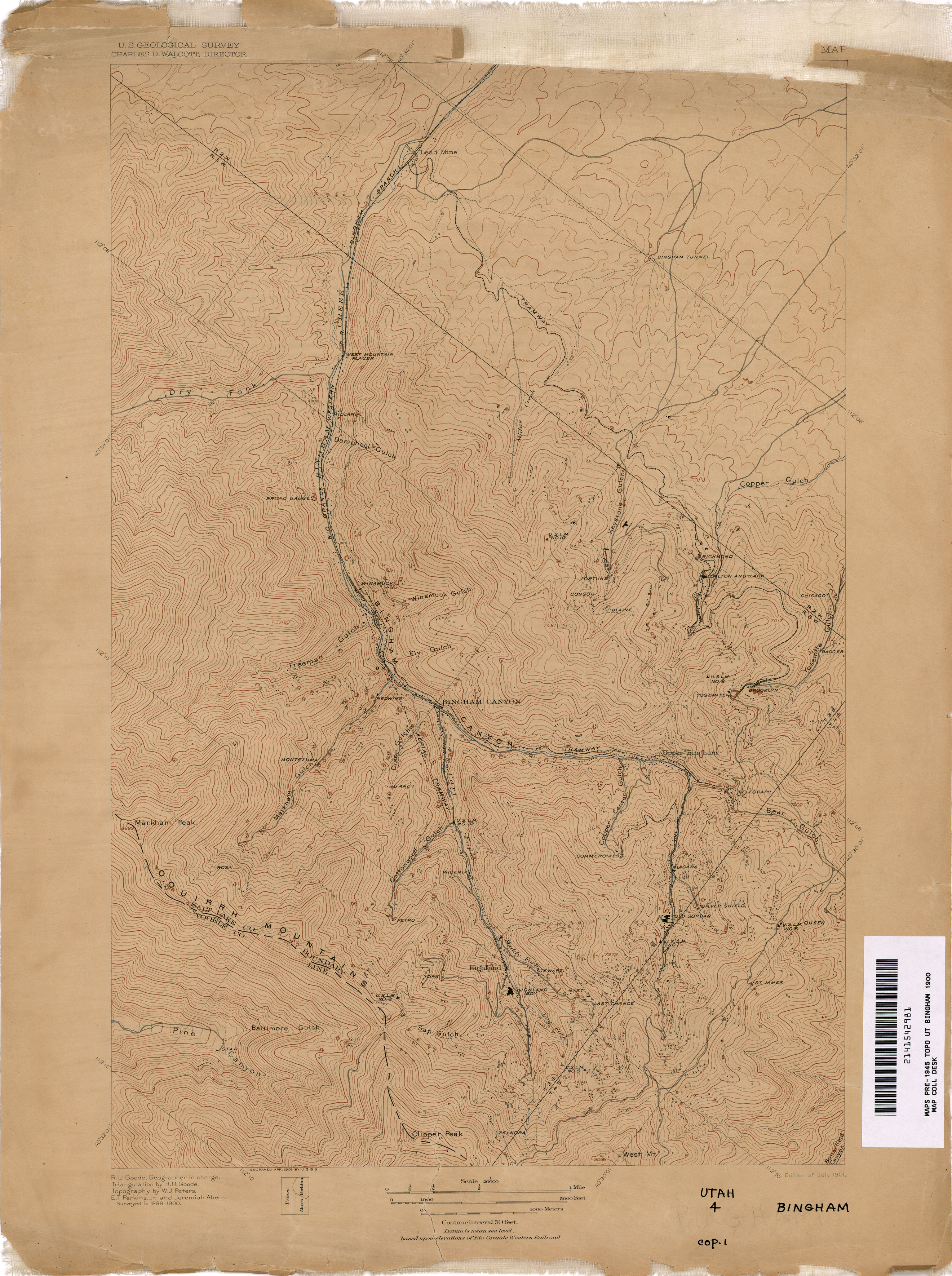 Special topographic map of Bingham Canyon, Utah mining district
 MIna cobre Bingham
 Open-pit workings of the Utah Copper Company, Bingham Canyon1a34852v
 Bingham Copper Mine, Utah (76768)
 Smelter site 1952 USGS map detail, Bingham Canyon Mine (cropped)
 Open-pit workings of the Utah Copper Company 1942
 Bingham Copper Mine Panoramic1952 Topographic map of Bingham Canyon, Utah
 Highland Boy Mine, Bingham Canon, Utah C.R. Savage Photo.
| Type | Subtype | Date | Description | Notes | Source |
|---|---|---|---|---|---|
| link | page | National Register of Historic Places listed place page@ | Wikidata | ||
| link | page | National Register of Historic Places page@ | Wikidata | ||
| link | page | Sketchfab page@ | Wikidata | ||
| site | mine | 1863 | Bingham Canyon Mine | opencast mine, copper mine | Wikidata |
| commons | image | 1952 Topographic map of Bingham Canyon, Utah | Commons | ||
| commons | image | Special topographic map of Bingham Canyon, Utah mining district | Commons | ||
| commons | image | MIna cobre Bingham | Commons | ||
| commons | image | Open-pit workings of the Utah Copper Company, Bingham Canyon1a34852v | Commons | ||
| commons | image | Bingham Copper Mine, Utah (76768) | Commons | ||
| commons | image | Smelter site 1952 USGS map detail, Bingham Canyon Mine (cropped) | Commons | ||
| commons | image | Open-pit workings of the Utah Copper Company 1942 | Commons | ||
| commons | image | Bingham Copper Mine Panoramic | Commons | ||
| commons | image | 1952 Topographic map of Bingham Canyon, Utah | Commons | ||
| commons | image | Highland Boy Mine, Bingham Canon, Utah C.R. Savage Photo. | Commons | ||
.jpg)
.jpg)