Zareh Shuran Mine
From Underfoot
mine in Takab County, Iran
Wikimedia, Wikidata
Zarshouran Gold Mine; Zarshouran Mine; Zarshuran Gold Mine; Zarshuran Mine

link={{{3}}}
Zarshouran Gold Mine; Zarshouran Mine; Zarshuran Gold Mine; Zarshuran Mine

-
Location: 36.7161, 47.1339, KML, Cluster Map, Maps,
4 places
-

Zareh Shuran Mine ⓘ
mine in Takab County, Iran -

معدن بایچه باغ ⓘ
-
معدن طلا آقدره ⓘ
-
معدن مالا لار ⓘ
 Orpiment-tuc1040y
 Orpiment-tuc1040a
 Orpiment-tuc1040x
 Daliranite-Orpiment-291283
 Daliranite-Orpiment-291285
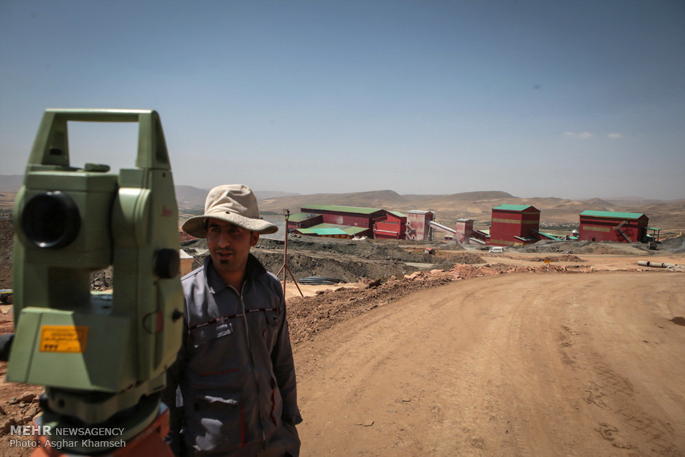 Zarshouran Gold Mine 2016-07-30 10
 Zarshouran Gold Mine 2016-07-30 08
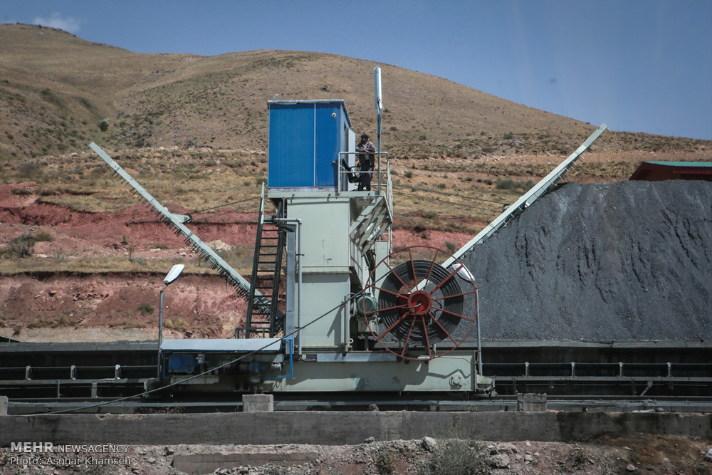 Zarshouran Gold Mine 2016-07-30 11
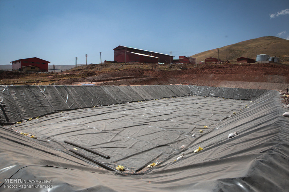 Zarshouran Gold Mine 2016-07-30 17
 Zarshouran Gold Mine 2016-07-30 01
| Type | Subtype | Date | Description | Notes | Source |
|---|---|---|---|---|---|
| site | mine | Zareh Shuran Mine | gold mine | Wikidata | |
| site | mine | معدن بایچه باغ | abandoned mine | Wikidata | |
| site | mine | معدن طلا آقدره | gold mine | Wikidata | |
| site | mine | معدن مالا لار | abandoned mine | Wikidata | |
| commons | image | Orpiment-tuc1040y | Commons | ||
| commons | image | Orpiment-tuc1040a | Commons | ||
| commons | image | Orpiment-tuc1040x | Commons | ||
| commons | image | Daliranite-Orpiment-291283 | Commons | ||
| commons | image | Daliranite-Orpiment-291285 | Commons | ||
| commons | image | Zarshouran Gold Mine 2016-07-30 10 | Commons | ||
| commons | image | Zarshouran Gold Mine 2016-07-30 08 | Commons | ||
| commons | image | Zarshouran Gold Mine 2016-07-30 11 | Commons | ||
| commons | image | Zarshouran Gold Mine 2016-07-30 17 | Commons | ||
| commons | image | Zarshouran Gold Mine 2016-07-30 01 | Commons | ||