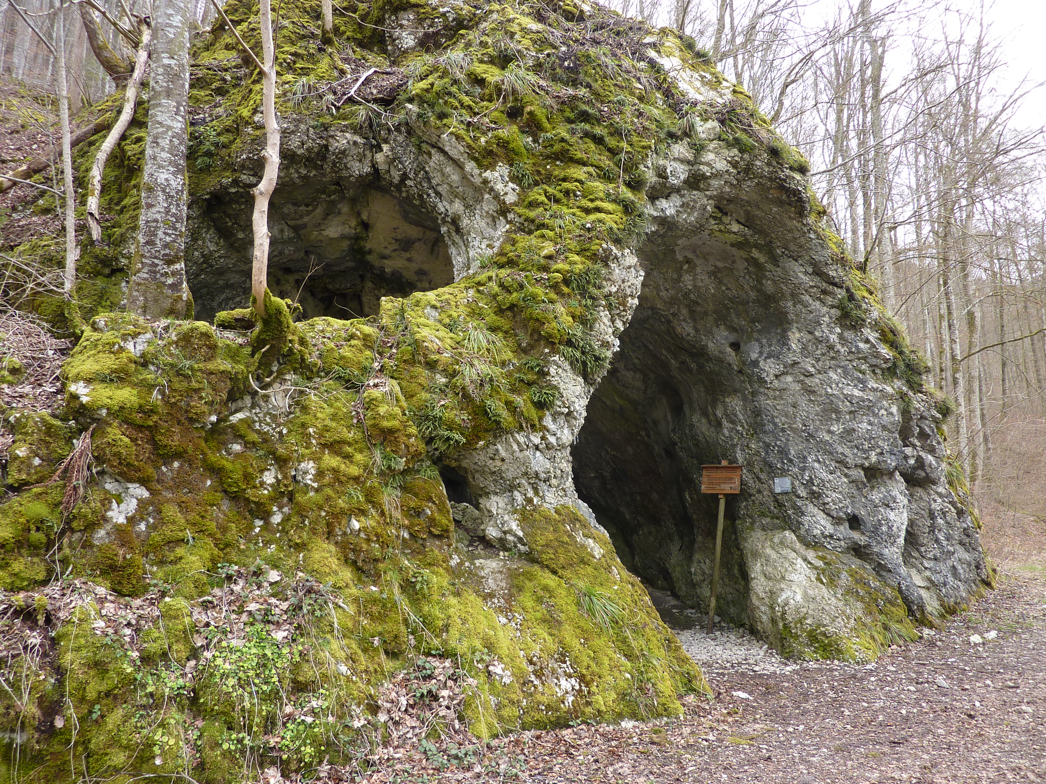
Rote-Brunnen-Höhle
From Underfoot
Q62108172
'
Wikimedia, Wikidata

link={{{3}}}

-
Location: 48.0531, 8.9958, KML, Cluster Map, Maps,
20 places
-

Luftwaffenkampfführungsanlage Martin ⓘ
-
Amandahöhle ⓘ
cave in Germany -

Anna-Kapellen-Höhle ⓘ
cave in Veringenstadt, Germany -
Benediktushöhle ⓘ
cave in Germany -
Bittelschießer Höhle ⓘ
cave in Germany -
Drexlerloch ⓘ
-
Friedrichshöhle ⓘ
-

Göpfelsteinhöhle ⓘ
cave in Veringenstadt, Germany -
Heidenhöhlen ⓘ
-

Heidensteinhöhle ⓘ
cave in Ebingen, Germany -
Kolbinger cave ⓘ
cave in Germany -

Linkenboldshöhle ⓘ
cave in Onstmettingen, Germany -

Mühlheimer Felsenhöhle ⓘ
-

Nikolaushöhle ⓘ
cave in Veringenstadt, Germany -

Rote-Brunnen-Höhle ⓘ
-
Wulfbachquellhöhle ⓘ
cave in Germany -
Ziegelhöhle ⓘ
natural monument in Fridingen an der Donau, Baden-Württemberg, Germany -

Sandgrube Gertenstock ⓘ
abandoned sans quarry in Hohentengen, Germany -
Hattinger Tunnel ⓘ
-
Immendinger Stollen ⓘ
 Rote-Brunnen-Höhle
| Type | Subtype | Date | Description | Notes | Source |
|---|---|---|---|---|---|
| site | bunker | Luftwaffenkampfführungsanlage Martin | architectural structure, bunker | Wikidata | |
| site | cave | Amandahöhle | cave | Wikidata | |
| site | cave | Anna-Kapellen-Höhle | solutional cave, natural monument in Germany, archaeological site | Wikidata | |
| site | cave | Benediktushöhle | cave | Wikidata | |
| site | cave | Bittelschießer Höhle | cave | Wikidata | |
| site | cave | Drexlerloch | cave | Wikidata | |
| site | cave | Friedrichshöhle | cave | Wikidata | |
| site | cave | Göpfelsteinhöhle | natural monument in Germany, solutional cave, archaeological site | Wikidata | |
| site | cave | Heidenhöhlen | cave | Wikidata | |
| site | cave | Heidensteinhöhle | natural monument in Germany, cave | Wikidata | |
| site | cave | Kolbinger cave | show cave | Wikidata | |
| site | cave | Linkenboldshöhle | natural monument in Germany, solutional cave | Wikidata | |
| site | cave | Mühlheimer Felsenhöhle | cave | Wikidata | |
| site | cave | Nikolaushöhle | natural monument in Germany, solutional cave, archaeological site | Wikidata | |
| site | cave | Rote-Brunnen-Höhle | cave | Wikidata | |
| site | cave | Wulfbachquellhöhle | cave | Wikidata | |
| site | cave | Ziegelhöhle | natural monument in Germany, cave | Wikidata | |
| site | mine | Sandgrube Gertenstock | sand mine, natural monument in Germany | Wikidata | |
| site | tunnel | Hattinger Tunnel | railway tunnel | Wikidata | |
| site | tunnel | Immendinger Stollen | architectural structure, watercourse, adit, tunnel | Wikidata | |
| commons | image | Rote-Brunnen-Höhle | Commons | ||