Onondaga Cave State Park
From Underfoot
Q7094483
Onondaga Cave State Park is a Missouri state park located on the Meramec River approximately 5 miles (8.0 km) southeast of the village of Leasburg. The park was established in 1982. Park activities include cave tours, camping, fishing, hiking, picnicking, and swimming.
1982 Website,
Wikimedia, Wikidata
Q30, 
-
Location: 38.0592, -91.2303, KML, Cluster Map, Maps,
3 places
-

Meramec Caverns ⓘ
cave system -

Meramec State Park ⓘ
state park in Missouri, USA -

Onondaga Cave State Park ⓘ
cave and park in Missouri
1982-01-01T00:00:00Z
1982-01-01T00:00:00Z
1982 Onondaga Cave State Park
{"selectable":false,"showCurrentTime":false,"width":"100%","zoomMin":100000000000}
 Onondaga Cave State Park
 Onondaga Cave State Park
 Onondaga Cave State Park
 Onondaga Cave State Park
 Onondaga Cave State Park
 Onondaga Cave State Park
 Onondaga Cave State Park
 Onondaga Cave State Park
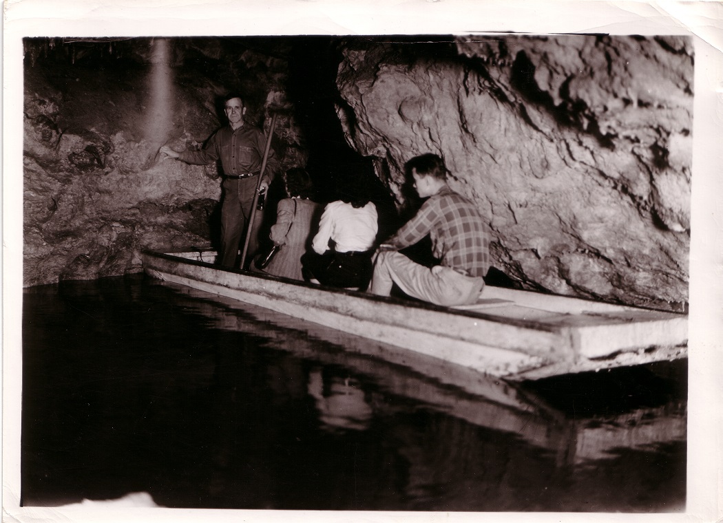 Onondaga Cave State ParkOnondaga Cave State Park
| Type | Subtype | Date | Description | Notes | Source |
|---|---|---|---|---|---|
| site | cave | Meramec Caverns | show cave | Wikidata | |
| site | cave | 1927 | Meramec State Park | Missouri state park, show cave | Wikidata |
| site | cave | 1982 | Onondaga Cave State Park | Missouri state park, show cave | Wikidata |
| commons | image | Onondaga Cave State Park | Commons | ||
| commons | image | Onondaga Cave State Park | Commons | ||
| commons | image | Onondaga Cave State Park | Commons | ||
| commons | image | Onondaga Cave State Park | Commons | ||
| commons | image | Onondaga Cave State Park | Commons | ||
| commons | image | Onondaga Cave State Park | Commons | ||
| commons | image | Onondaga Cave State Park | Commons | ||
| commons | image | Onondaga Cave State Park | Commons | ||
| commons | image | Onondaga Cave State Park | Commons | ||
| commons | image | Onondaga Cave State Park | Commons | ||
_258c-A56C.jpg)
_259c-7D25.jpg)
.jpg)