Toyd Down and Quarry
From Underfoot
Q94939663
Toyd Down and Quarry is a 6.7-hectare (17-acre) biological Site of Special Scientific Interest east of Martin in Hampshire.
Wikimedia, Wikidata
United Kingdom,
-
Location: 50.971, -1.887, KML, Cluster Map, Maps,
20 places
-

Chilmark Quarries ⓘ
stone quarry in Wiltshire, England -

Christchurch Hampshire County Council and County Borough of Bournemouth Area Control ⓘ
civil defence centre in Hampshire, UK -
Salisbury Urban District Control ⓘ
civil defence centre in Wiltshire -

Grotto 250 Metres South East Of St Giles House ⓘ
grotto in Wimborne St Giles, Dorset, England, UK -

Grotto To North East Of Old Wardour Castle ⓘ
grotto in Donhead St. Andrew, Wiltshire, England, UK -
Grotto, Approximately 190 Metres South West Of Wilbury House ⓘ
grotto in Newton Tony, Wiltshire, England, UK -
Grottoes On East Side Of Fonthill Lake, South Of The Landing Stage ⓘ
grotto in Tisbury, Wiltshire, England, UK -
Gay's Cave And Diamond ⓘ
grotto in Amesbury, Wiltshire, England, UK -

Aubrey holes ⓘ
Neolithic monument -
Charnage Down Chalk Pit ⓘ
Site of Special Scientific Interest in Wiltshire, England -
Chicksgrove Quarry ⓘ
Site of Special Scientific Interest in Wiltshire, England -
Dinton Quarry ⓘ
Geological Site of Special Scientific Interest in Wiltshire, England -
Lady Down Quarry ⓘ
Geological Site of Special Scientific Interest in Wiltshire, England -

Shillingstone Quarry ⓘ
Site of Special Scientific Interest in Dorset, England -
Teffont Evias Quarry / Lane Cutting ⓘ
Geological Site of Special Scientific Interest in Wiltshire, England -
Toyd Down and Quarry ⓘ
quarry in the UK -
West Harnham Chalk Pit ⓘ
chalk quarry in the UK -

Downton Tunnel ⓘ
railway tunnel in the UK -

Fisherton Tunnel ⓘ
railway tunnel in Salisbury, Wiltshire, England, UK -
Stonehenge road tunnel ⓘ
tunnel in England
{"selectable":false,"showCurrentTime":false,"width":"100%","zoomMin":100000000000}
 Toyd Down long barrows
 Grans barrow hampshire
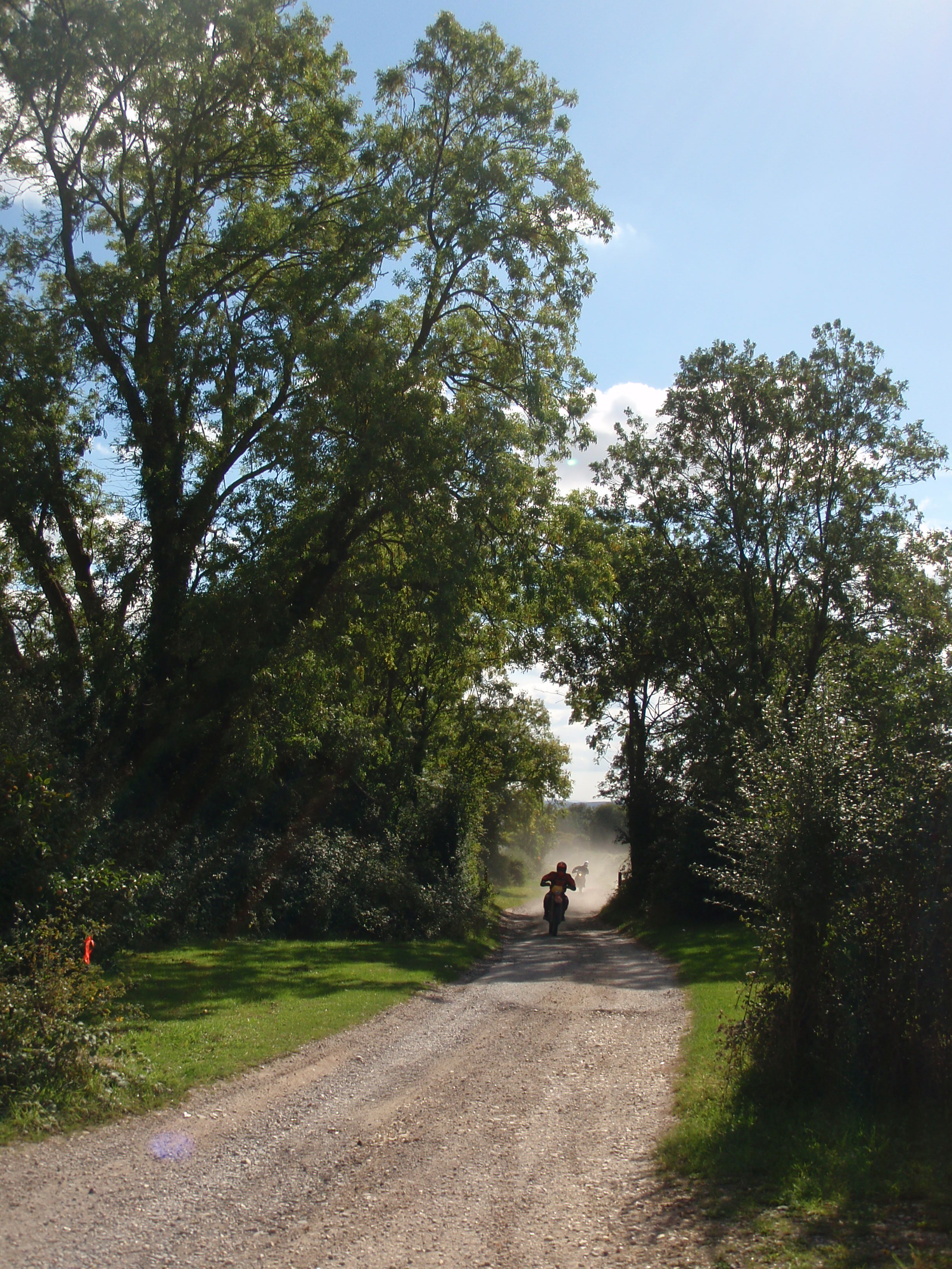 Toyd Down Byway - Perfect Day - panoramio
 Green Lane near Towd Down - Perfect Day on the Trail - panoramio
| Type | Subtype | Date | Description | Notes | Source |
|---|---|---|---|---|---|
| site | bunker | Chilmark Quarries | stone quarry, protected area, bunker | Wikidata | |
| site | bunker | Christchurch Hampshire County Council and County Borough of Bournemouth Area Control | Hampshire County Council, civil defense center, Bournemouth Borough Council | Wikidata | |
| site | bunker | Salisbury Urban District Control | Salisbury City Council, civil defense center | Wikidata | |
| site | cave | Grotto 250 Metres South East Of St Giles House | grotto | Wikidata | |
| site | cave | Grotto To North East Of Old Wardour Castle | grotto | Wikidata | |
| site | cave | Grotto, Approximately 190 Metres South West Of Wilbury House | grotto | Wikidata | |
| site | cave | Grottoes On East Side Of Fonthill Lake, South Of The Landing Stage | grotto | Wikidata | |
| site | cave | 1800 | Gay's Cave And Diamond | grotto | Wikidata |
| site | mine | Aubrey holes | chalk quarry | Wikidata | |
| site | mine | Charnage Down Chalk Pit | chalk quarry | Wikidata | |
| site | mine | Chicksgrove Quarry | quarry | Wikidata | |
| site | mine | Dinton Quarry | quarry | Wikidata | |
| site | mine | Lady Down Quarry | quarry | Wikidata | |
| site | mine | Shillingstone Quarry | Site of Special Scientific Interest, quarry | Wikidata | |
| site | mine | Teffont Evias Quarry / Lane Cutting | quarry | Wikidata | |
| site | mine | Toyd Down and Quarry | quarry | Wikidata | |
| site | mine | West Harnham Chalk Pit | chalk quarry | Wikidata | |
| site | tunnel | Downton Tunnel | railway tunnel | Wikidata | |
| site | tunnel | Fisherton Tunnel | railway tunnel | Wikidata | |
| site | tunnel | Stonehenge road tunnel | road tunnel, proposed building or structure | Wikidata | |
| commons | image | Toyd Down long barrows | Commons | ||
| commons | image | Grans barrow hampshire | Commons | ||
| commons | image | Toyd Down Byway - Perfect Day - panoramio | Commons | ||
| commons | image | Green Lane near Towd Down - Perfect Day on the Trail - panoramio | Commons | ||