Seikan Tunnel
From Underfoot
Q99250
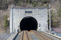
The Seikan Tunnel is a 53.85-kilometre (33.5-mile) dual-gauge railway tunnel in Japan, with a 23.3-kilometre (14.5-mile) segment running beneath the seabed of the Tsugaru Strait, which separates Aomori Prefecture on Honshu, Japan's main island, from the northern island of Hokkaido. The tunnel's track level lies approximately 100 metres (330 ft) below the seabed and 240 metres (790 ft) below sea level. Following several decades of planning and construction, the tunnel opened on 13 March 1988.
1985 Website,
Wikimedia, Wikidata
-
Location: 41.3157, 140.3351, KML, Cluster Map, Maps,
3 places
-

青の洞窟 ⓘ
-
Tsugaru Tunnel ⓘ
railway tunnel in Honshu, Japan -
Seikan Tunnel ⓘ
undersea railway tunnel in Japan connecting Hokkaido and Honshu
1985-03-10T00:00:00Z
1985-03-10T00:00:00Z
1985 Seikan Tunnel
{"selectable":false,"showCurrentTime":false,"width":"100%","zoomMin":100000000000}
 Cenotaph for victims of construction of Seikan Tunnel
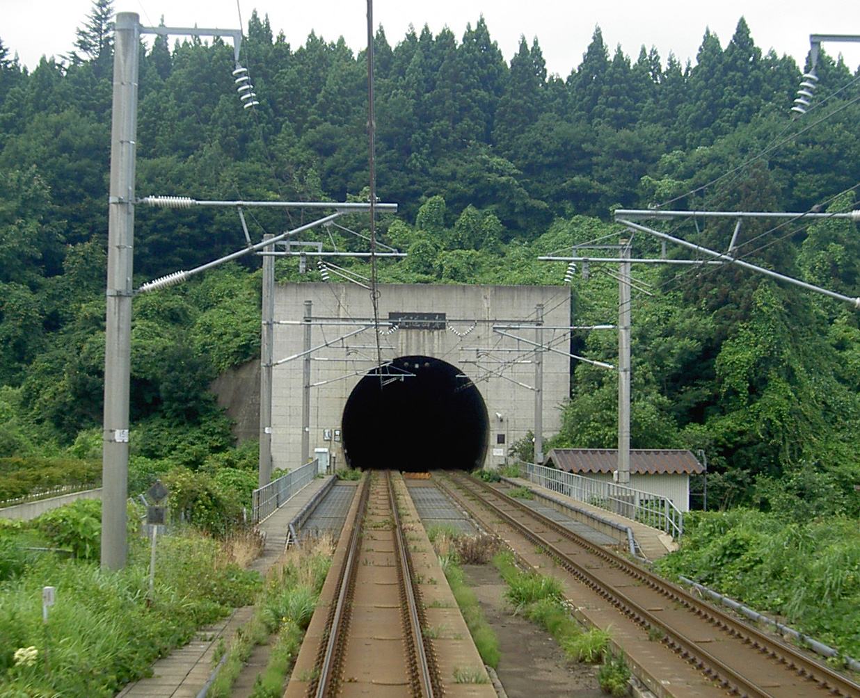 Seikan Tunnel Entrance Honshu side
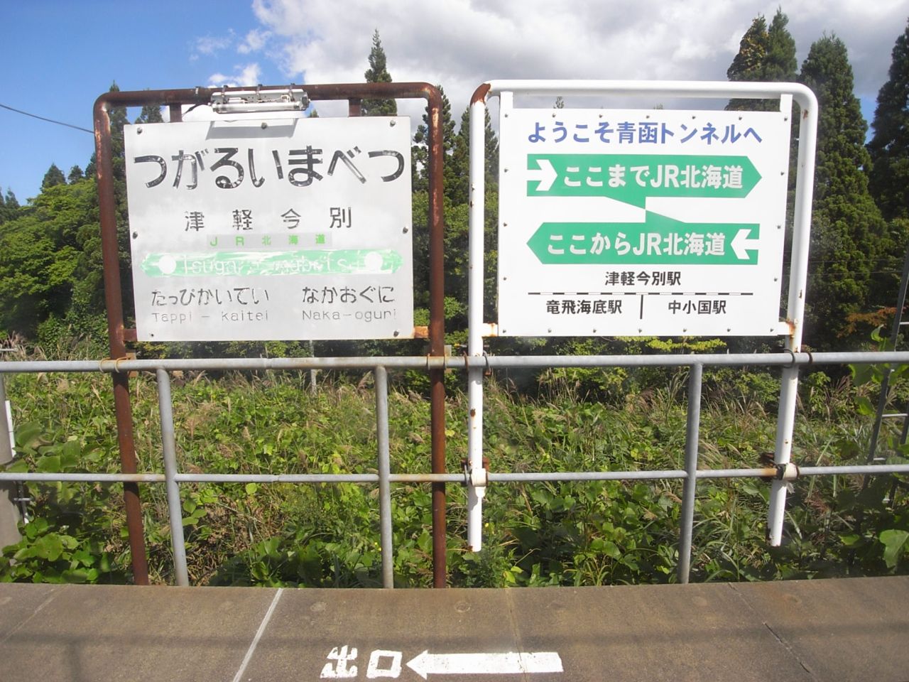 Tsugaruimabetsu-eki01
 異常時 専用 (51696772136)
 P3291682
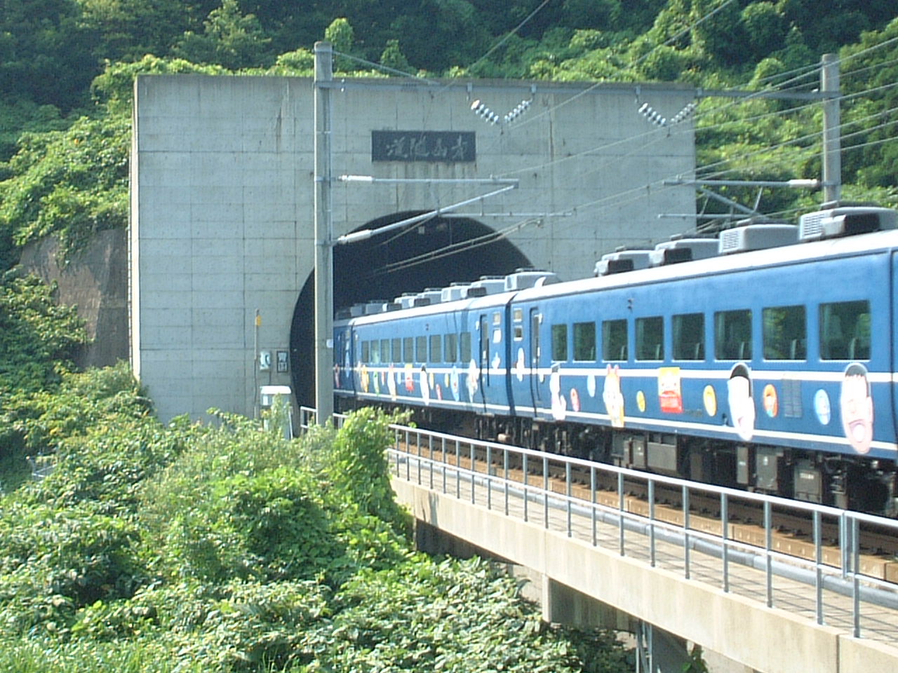 Seikan tonneru aomori
 Seikan-Tunnel - panoramio
 Japan. Underwater tunnel to Hokkaido island - panoramio
 Seikan tunnel nameplate
 Seikan-tunnel-north-side-entrance 20130820 125614
- seikan-tunnel-museum - Wikimedia disambiguation page
- Fukushima Town Seikan Tunnel Museum -
| Type | Subtype | Date | Description | Notes | Source |
|---|---|---|---|---|---|
| site | cave | 青の洞窟 | sea cave | Wikidata | |
| site | tunnel | Tsugaru Tunnel | railway tunnel | Wikidata | |
| site | tunnel | 1985 | Seikan Tunnel | undersea tunnel, Japan Freight Railway Company, railway tunnel, Hokkaido Railway Company | Wikidata |
| commons | image | Cenotaph for victims of construction of Seikan Tunnel | Commons | ||
| commons | image | Seikan Tunnel Entrance Honshu side | Commons | ||
| commons | image | Tsugaruimabetsu-eki01 | Commons | ||
| commons | image | 異常時 専用 (51696772136) | Commons | ||
| commons | image | P3291682 | Commons | ||
| commons | image | Seikan tonneru aomori | Commons | ||
| commons | image | Seikan-Tunnel - panoramio | Commons | ||
| commons | image | Japan. Underwater tunnel to Hokkaido island - panoramio | Commons | ||
| commons | image | Seikan tunnel nameplate | Commons | ||
| commons | image | Seikan-tunnel-north-side-entrance 20130820 125614 | Commons | ||
.jpg)