Boesdal Kalkbrud
From Underfoot
Q12303978
Q12303978
'
1914
Wikimedia, WikidataDenmark,

-
Location: 55.2586, 12.3999, KML, Cluster Map, Maps,
4 places
-

Faxe Kalkbrud ⓘ
-

Holtug Chalk Quarry ⓘ
-

Stevns Chalk Quarry ⓘ
-

Boesdal Kalkbrud ⓘ
1914-01-01T00:00:00Z
1914-01-01T00:00:00Z
1914 Boesdal Kalkbrud
{"selectable":false,"showCurrentTime":false,"width":"100%","zoomMin":100000000000}
 Boesdal Kalkbrud 3
 Boesdal Kalkbrud 2
 Boesdal Kalkbrud 1
 Dk Boesdal limestone quarryDk Boesdal limestone quarry
 Zealand 2015-05-24 (18052371269)
 Zealand 2015-05-24 (17617976273)
 Zealand 2015-05-24 (17617971853)
 Zealand 2015-05-24 (18068814788)
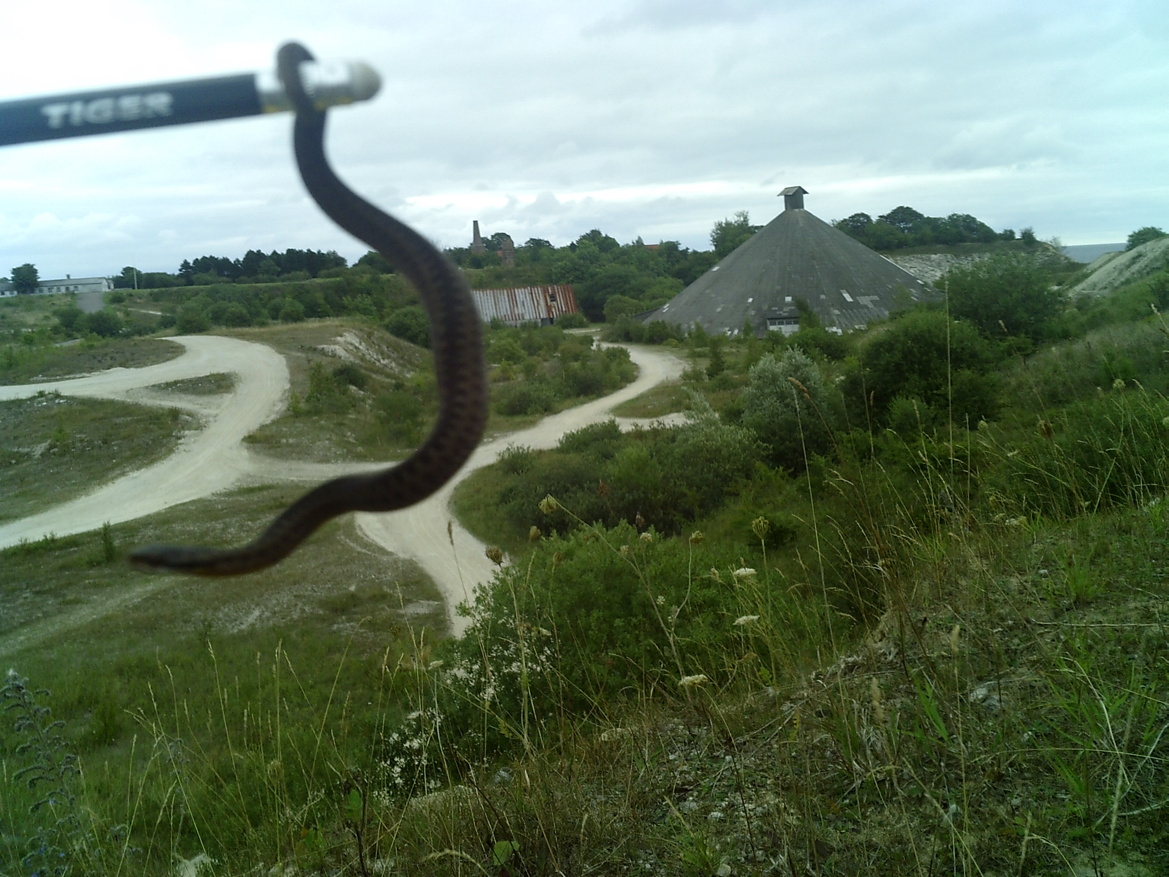 Boesdal Kalkbrud hugorm
- Boesdal Kalkbrud - Kalkværk og rekreativt område - scientific article, Q9035, 2019, online
| Type | Subtype | Date | Description | Notes | Source |
|---|---|---|---|---|---|
| site | mine | Faxe Kalkbrud | chalk quarry | Wikidata | |
| site | mine | Holtug Chalk Quarry | chalk quarry | Wikidata | |
| site | mine | Stevns Chalk Quarry | limestone quarry | Wikidata | |
| site | mine | 1914 | Boesdal Kalkbrud | chalk quarry | Wikidata |
| commons | image | Boesdal Kalkbrud 3 | Commons | ||
| commons | image | Boesdal Kalkbrud 2 | Commons | ||
| commons | image | Boesdal Kalkbrud 1 | Commons | ||
| commons | image | Dk Boesdal limestone quarry | Commons | ||
| commons | image | Dk Boesdal limestone quarry | Commons | ||
| commons | image | Zealand 2015-05-24 (18052371269) | Commons | ||
| commons | image | Zealand 2015-05-24 (17617976273) | Commons | ||
| commons | image | Zealand 2015-05-24 (17617971853) | Commons | ||
| commons | image | Zealand 2015-05-24 (18068814788) | Commons | ||
| commons | image | Boesdal Kalkbrud hugorm | Commons | ||
.jpg)
.jpg)
.jpg)
.jpg)