Cottbuser Ostsee
From Underfoot
Q1136698
The Cottbuser Ostsee is an artificial lake under development on the grounds of the former open-pit lignite mine de:Tagebau Cottbus Nord near Cottbus, Brandenburg, Germany.
Wikimedia, Wikidata
Germany,

link={{{3}}}
Location: 51.7875, 14.4322, KML, Cluster Map, Maps,
Germany,

-
Location: 51.7875, 14.4322, KML, Cluster Map, Maps,
-

Kolkwitz Bunker ⓘ
bunker -

Cottbuser Ostsee ⓘ
lake in Germany -

Jänschwalde Mine ⓘ
mine in Germany -

Tagebau Gräbendorf ⓘ
mine in Germany -
Tagebau Greifenhain ⓘ
mine in Germany -

Welzow-Süd mine ⓘ
lignite mine in Germany -

Cottbus-Nord surface mine ⓘ
mine in Germany
 Cottbus Panorama Schlichower Höhe
 Pano5156cottbuserostsee
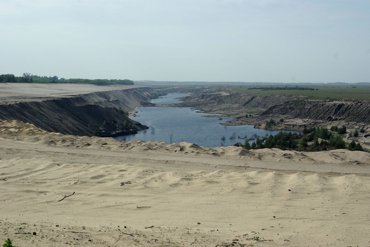 Tagebau Cottbus Nord 0003
 Cottbuser ostsee friebe e0138014
 Friebe DSC2066
 CB Ostsee Aerial Pan
 CB Ostsee Wehr Lakoma
 CB Ostsee Flutung
 19-09-04-Cottbuser-Ostsee-DJI 0541
 19-09-04-Cottbuser-Ostsee-DJIpano 0535
| Type | Subtype | Date | Description | Notes | Source |
|---|---|---|---|---|---|
| timelineTypessite | |||||
| timelineArrayArray | |||||
| site | bunker | Kolkwitz Bunker | bunker | Wikidata | |
| site | mine | Cottbuser Ostsee | open-pit lignite mine, lake | Wikidata | |
| site | mine | Jänschwalde Mine | LEAG, open-pit lignite mine | Wikidata | |
| site | mine | Tagebau Gräbendorf | open-pit lignite mine | Wikidata | |
| site | mine | Tagebau Greifenhain | open-pit lignite mine | Wikidata | |
| site | mine | Welzow-Süd mine | LEAG, open-pit lignite mine | Wikidata | |
| site | mine | 1970 | Cottbus-Nord surface mine | LEAG, open-pit lignite mine | Wikidata |
| commons | image | Cottbus Panorama Schlichower Höhe | Commons | ||
| commons | image | Pano5156cottbuserostsee | Commons | ||
| commons | image | Tagebau Cottbus Nord 0003 | Commons | ||
| commons | image | Cottbuser ostsee friebe e0138014 | Commons | ||
| commons | image | Friebe DSC2066 | Commons | ||
| commons | image | CB Ostsee Aerial Pan | Commons | ||
| commons | image | CB Ostsee Wehr Lakoma | Commons | ||
| commons | image | CB Ostsee Flutung | Commons | ||
| commons | image | 19-09-04-Cottbuser-Ostsee-DJI 0541 | Commons | ||
| commons | image | 19-09-04-Cottbuser-Ostsee-DJIpano 0535 | Commons | ||