The Coniston copper mines were a copper mining operation in Lancashire, England. It was functional for hundreds of years in Coppermines Valley above Coniston Water. Today there are industrial remains of the industry and the Coniston Coppermines Youth Hostel is based in the old manager's building.
Abbottswood Anti-Aircraft Operations Room ⓘ British air defence bunker
Dog Hole Cave ⓘ Storth, Cumbria, England, also known as Fairy Cave
Kirkhead Cave ⓘ cave in Lower Allithwaite, Cumbria, England, UK
Borrowdale graphite mines and associated grinding mill, 660m north west of Seathwaite ⓘ mine in Borrowdale, United Kingdom
Coniston copper mines ⓘ old mines above Lake Coniston inc. the Youth Hostel
Dale Head copper mine 300m north east of Dale Head ⓘ copper mine in Above Derwent, Cumbria, England, UK
Dale Head copper mine dressing floors and associated buildings 400m north of Dale Head ⓘ copper mine in Above Derwent, Cumbria, England, UK
Gill Force mine ⓘ disused mine in Eskdale, Cumbria, England, UK
Goldscope copper and lead mines and remains of associated dressing floors, stamp mill, dressing mill, reservoir and leats ⓘ mine in Above Derwent, United Kingdom
Greenburn copper mines and associated ore processing works ⓘ mine in Coniston, United Kingdom
Greenside lead mines, ore works and smelt mill ⓘ lead mine in Patterdale, Cumbria, England, UK
Greenside Mine ⓘ former lead mine in the Lake District of England
Honister Slate Mine ⓘ slate mine in Cumbria, United Kingdom
Lead mine and ore works at Greenhead Gill, Grasmere ⓘ mine in Lakes, United Kingdom
Myers Head lead mine ⓘ mine in Patterdale, United Kingdom
Nab Gill mine ⓘ iron mine in Eskdale
St Thomas' Work Elizabethan copper mine 320m north west of Grey Buttress ⓘ copper mine in Above Derwent, Cumbria, England, UK
Top Power House electric power generation station and associated leat for Greenside lead mine centred 740m NNW of Hole-in-the-Wa ⓘ mine in Patterdale, United Kingdom
Keswick Mining Museum ⓘ museum in Keswick, England, UK
Threlkeld Quarry And Mining Museum ⓘ museum in Threlkeld, England, UK
Furness Abbey Tunnel ⓘ railway tunnel in the UK
Haverthwaite East Tunnel ⓘ railway tunnel in the UK
Haverthwaite West Tunnel ⓘ railway tunnel in the UK
Hincaster Tunnel ⓘ 19th century canal tunnel
Underpass approx 120m north-west of Whitegate Cottages ⓘ underpass in Lower Holker, Cumbria, England, UK


 Irish Cottages, Coppermine Valley
 The head of Coppermine Valley, Coniston
 Remains of old mine workings
 Disused Copper Mines below the Old Man
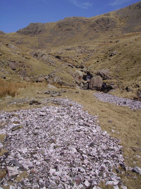 Mine Spoil
 Looking across site of historical Coniston mines
 Looking across site of historical Coniston mines
 Looking across site of historical Coniston mines
 Looking across site of historical Coniston mines
 Looking across site of historical Coniston mines
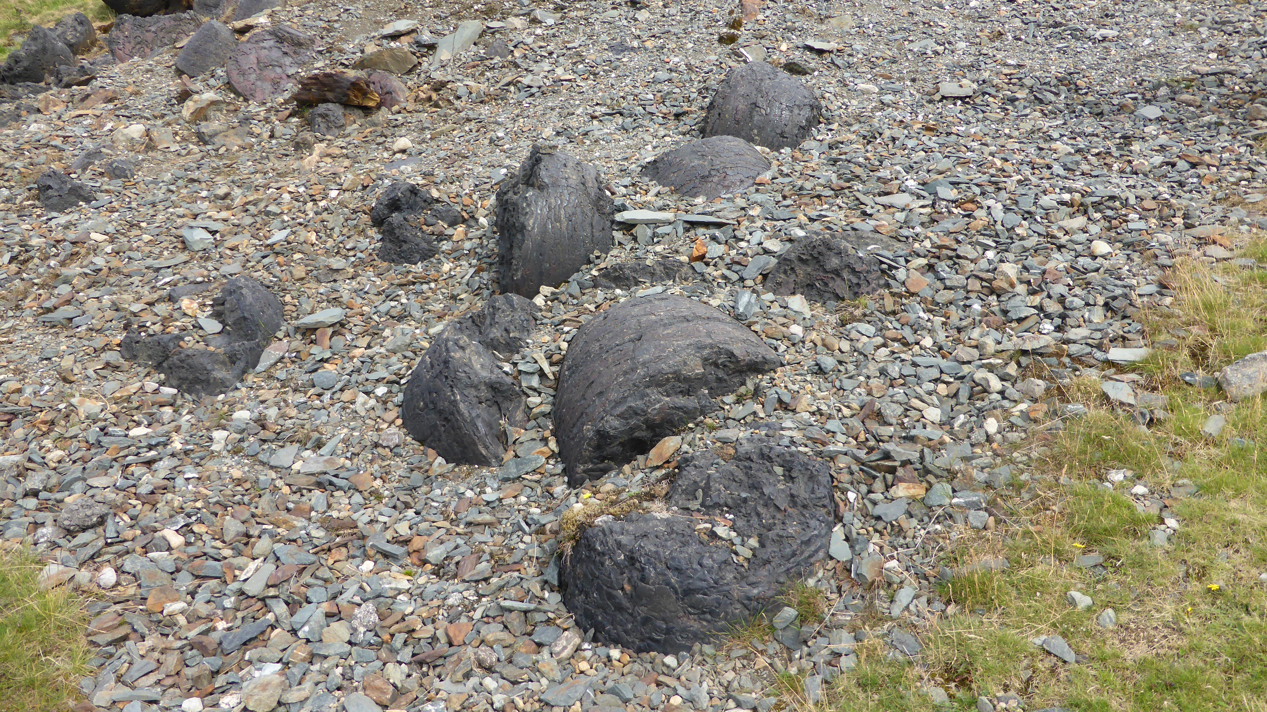 2023_07_08_01
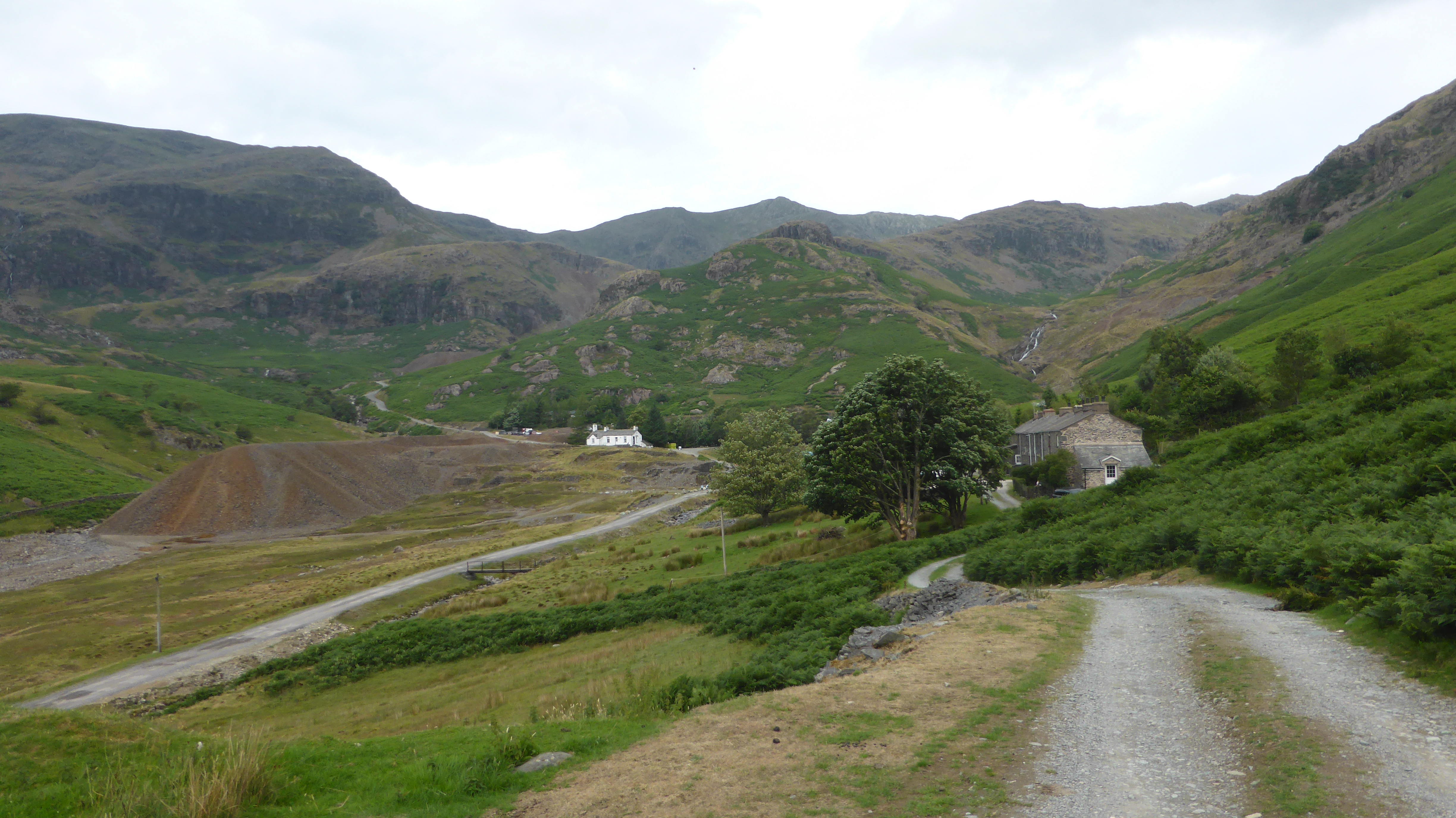 2023_07_08_02
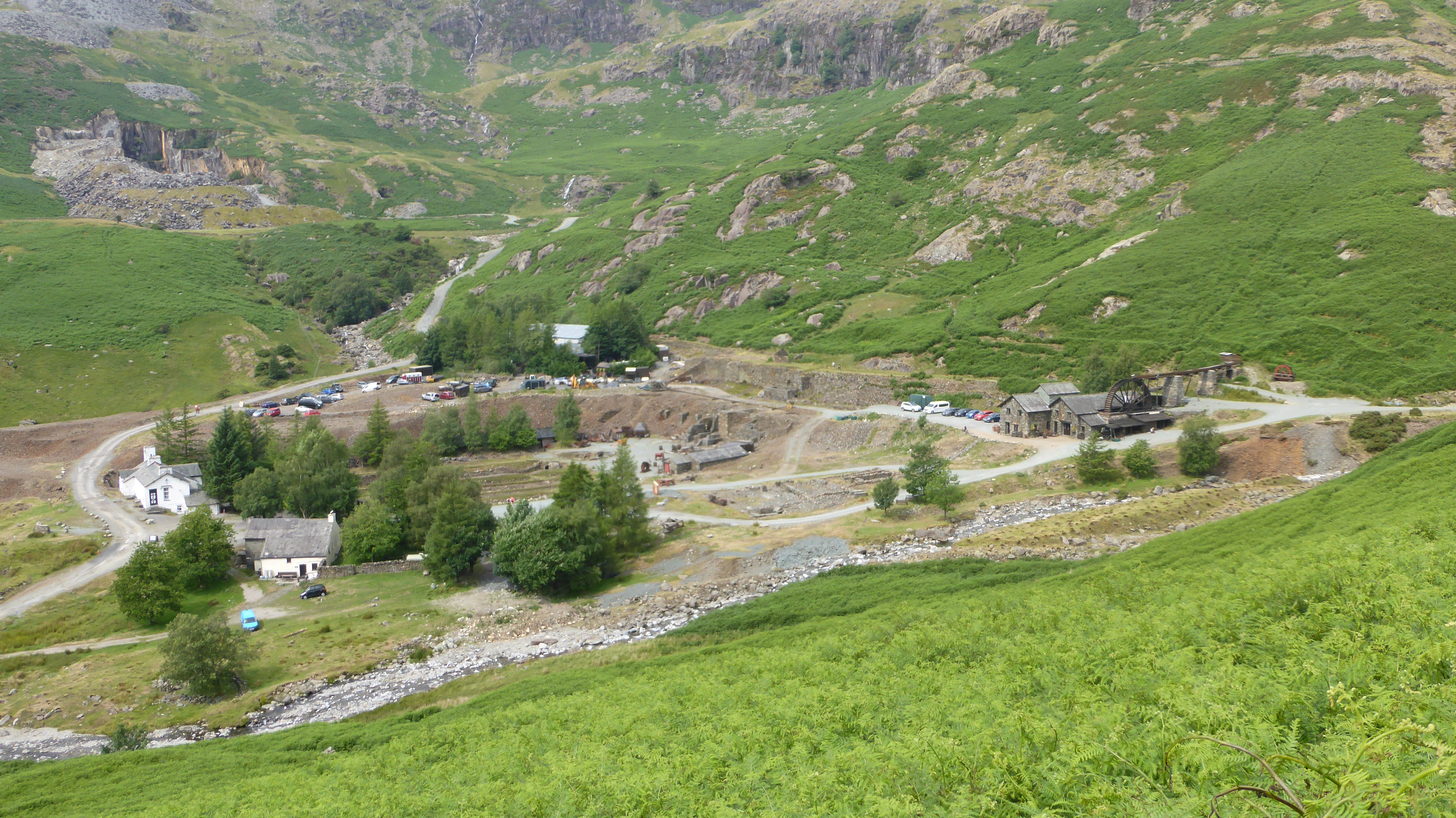 2023_07_08_03
 2023_07_08_04
 2023_07_08_05
 2023_07_08_06
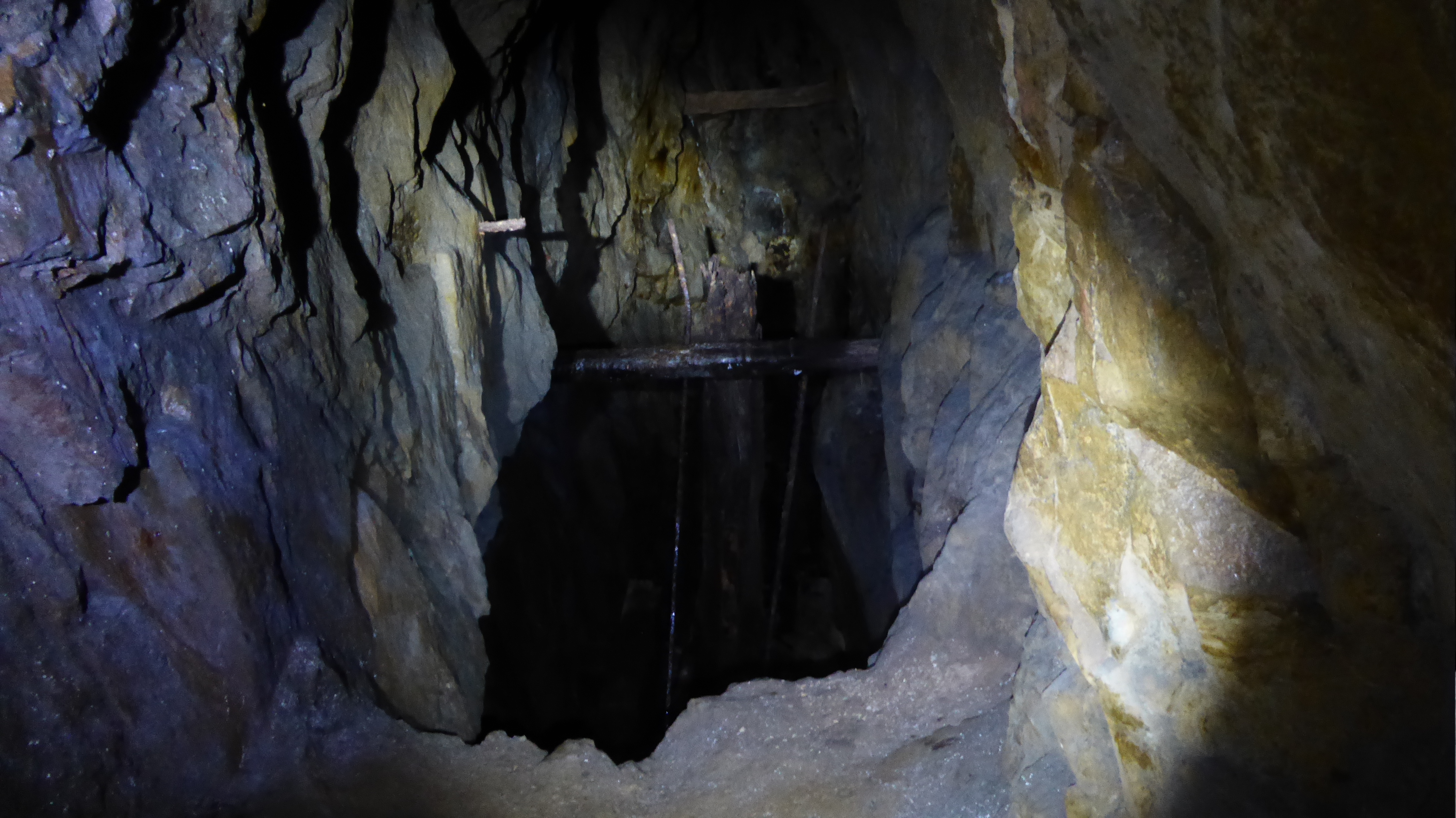 2023_07_08_07
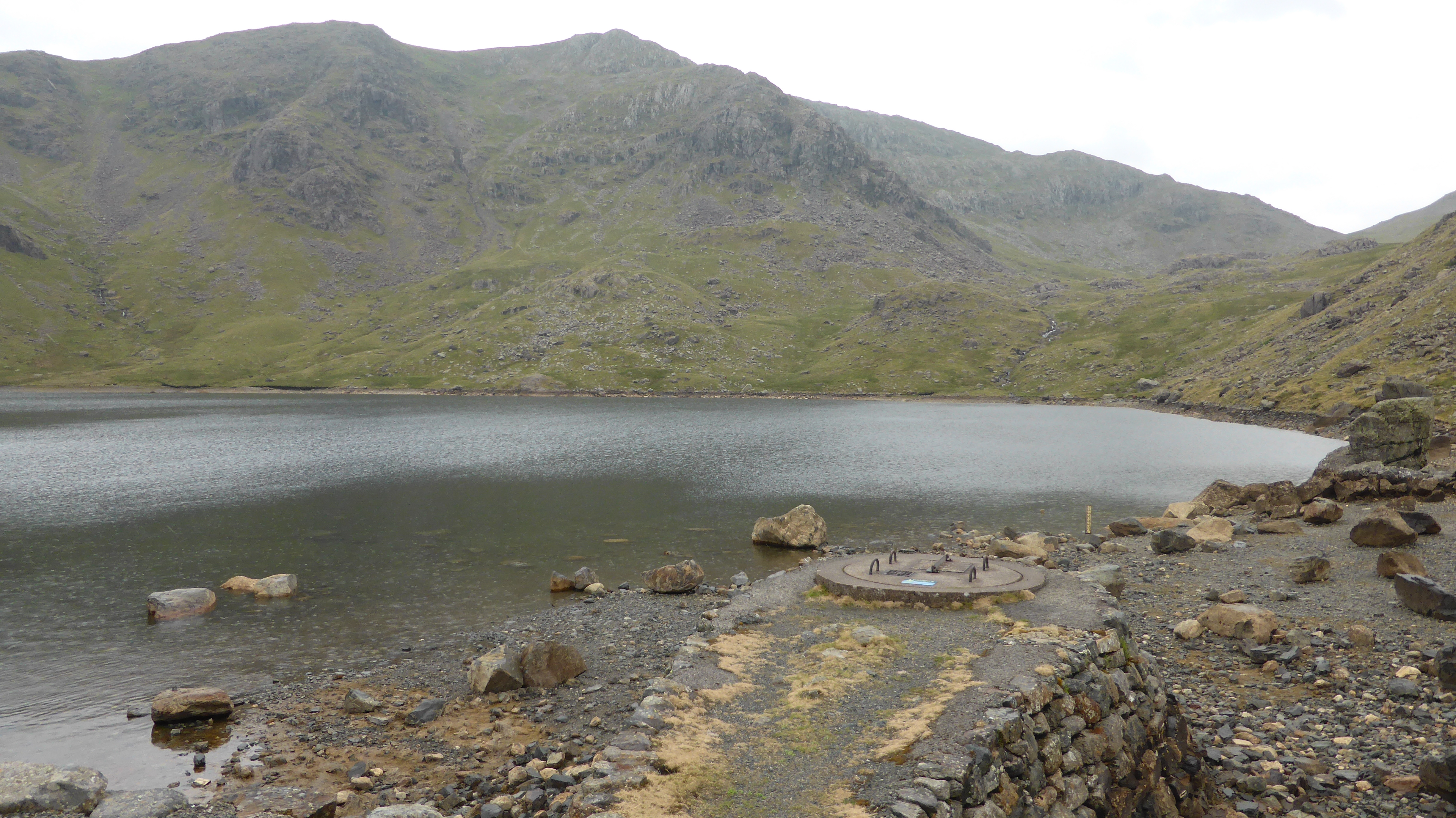 2023_07_08_08
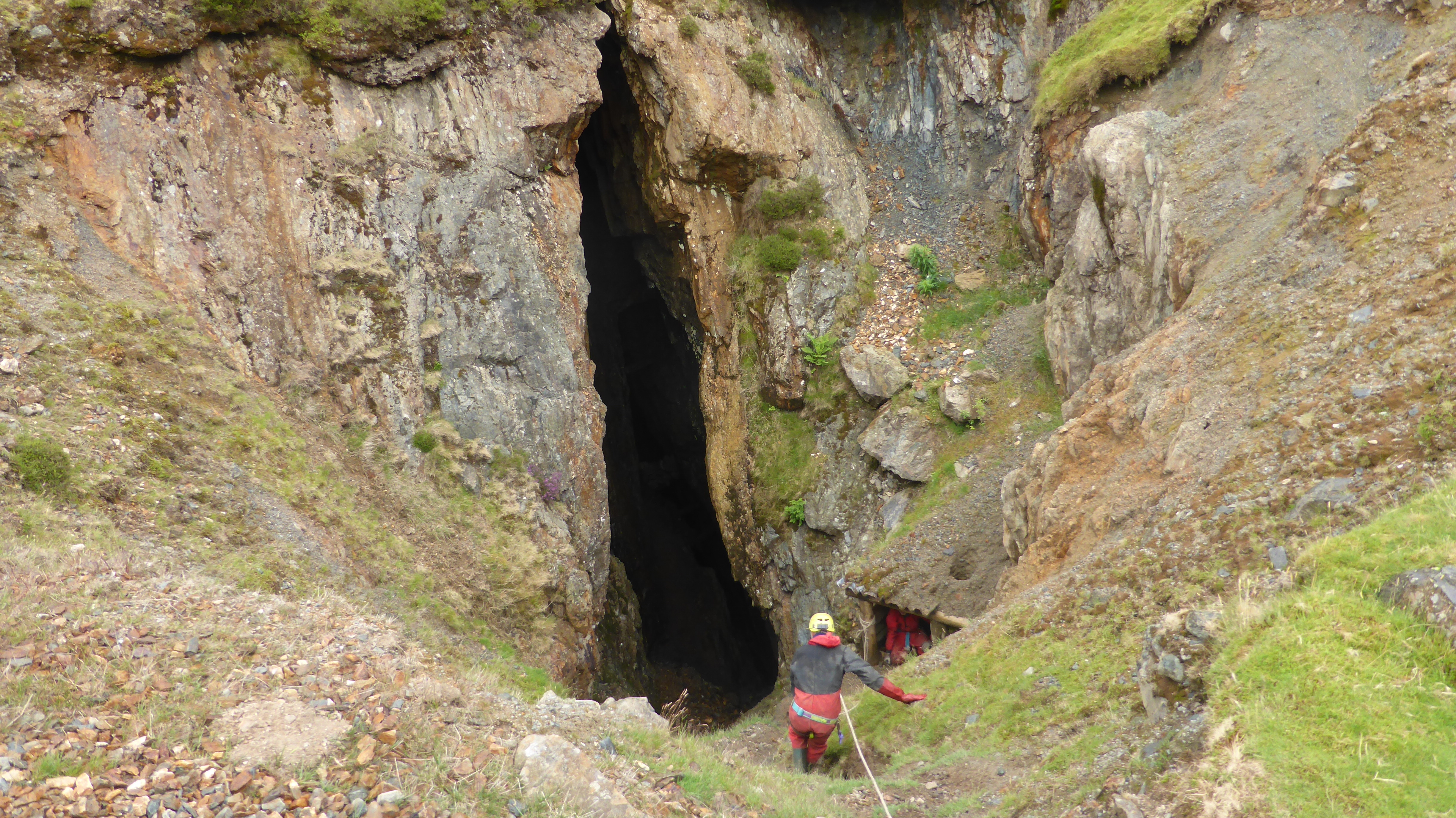 2023_07_08_09
 2023_07_08_10
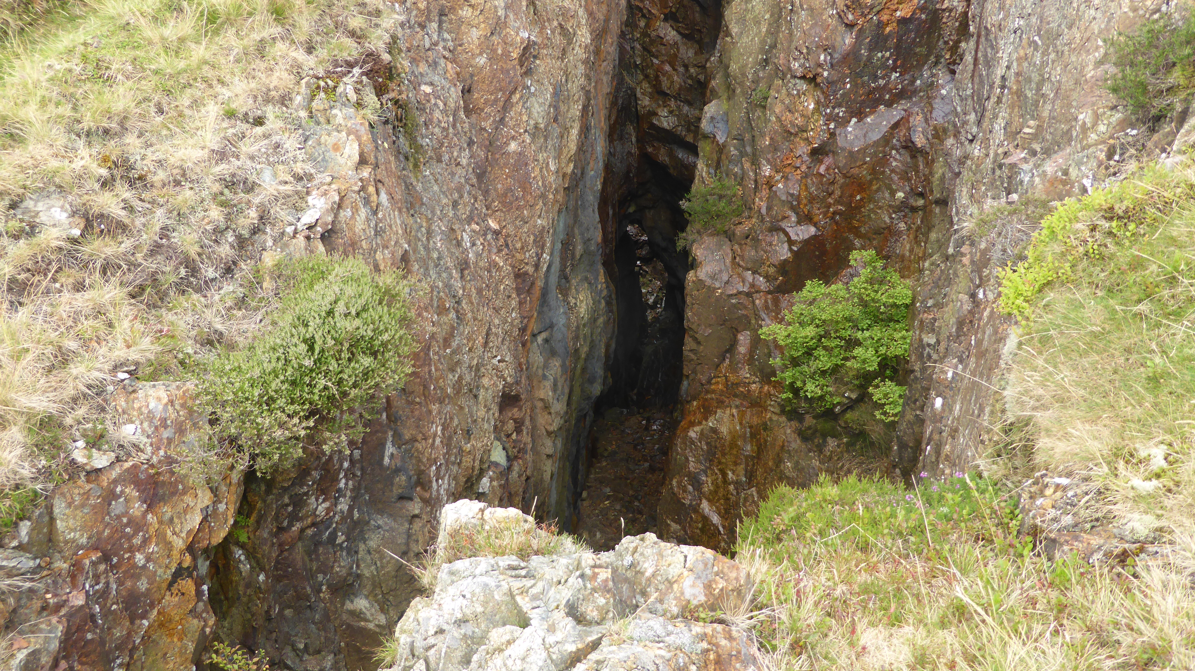 2023_07_08_11
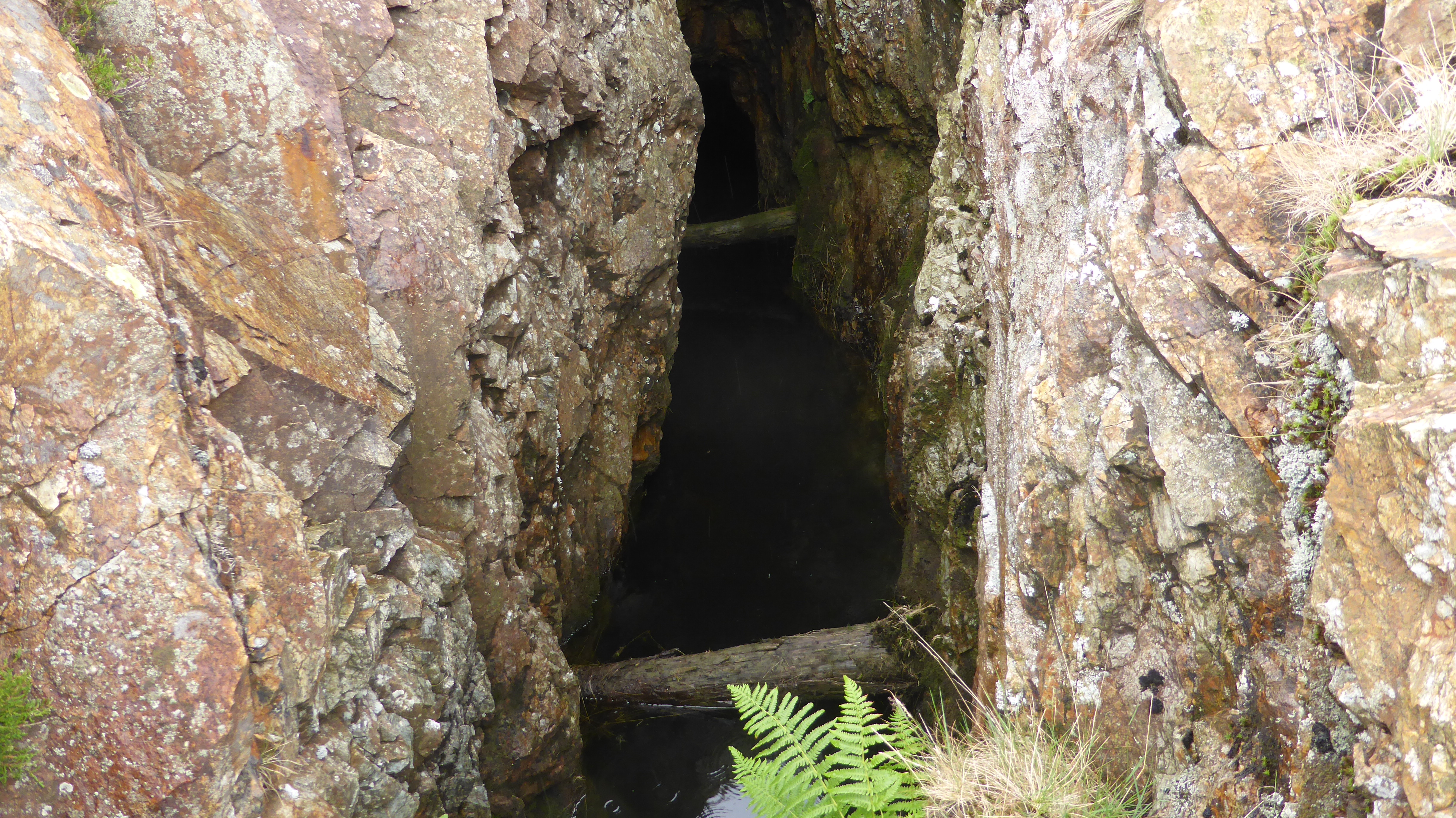 2023_07_08_12
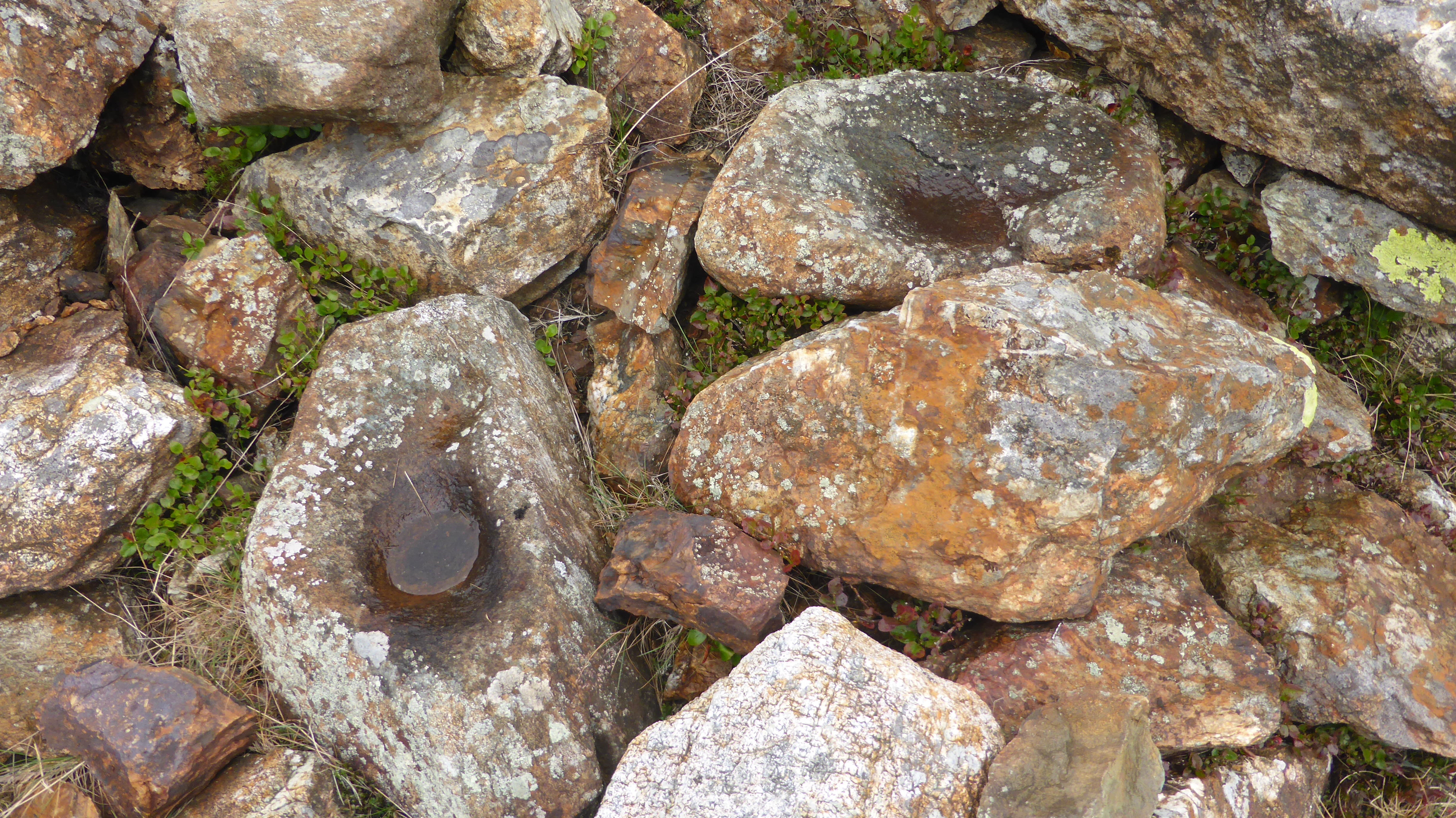 2023_07_08_13
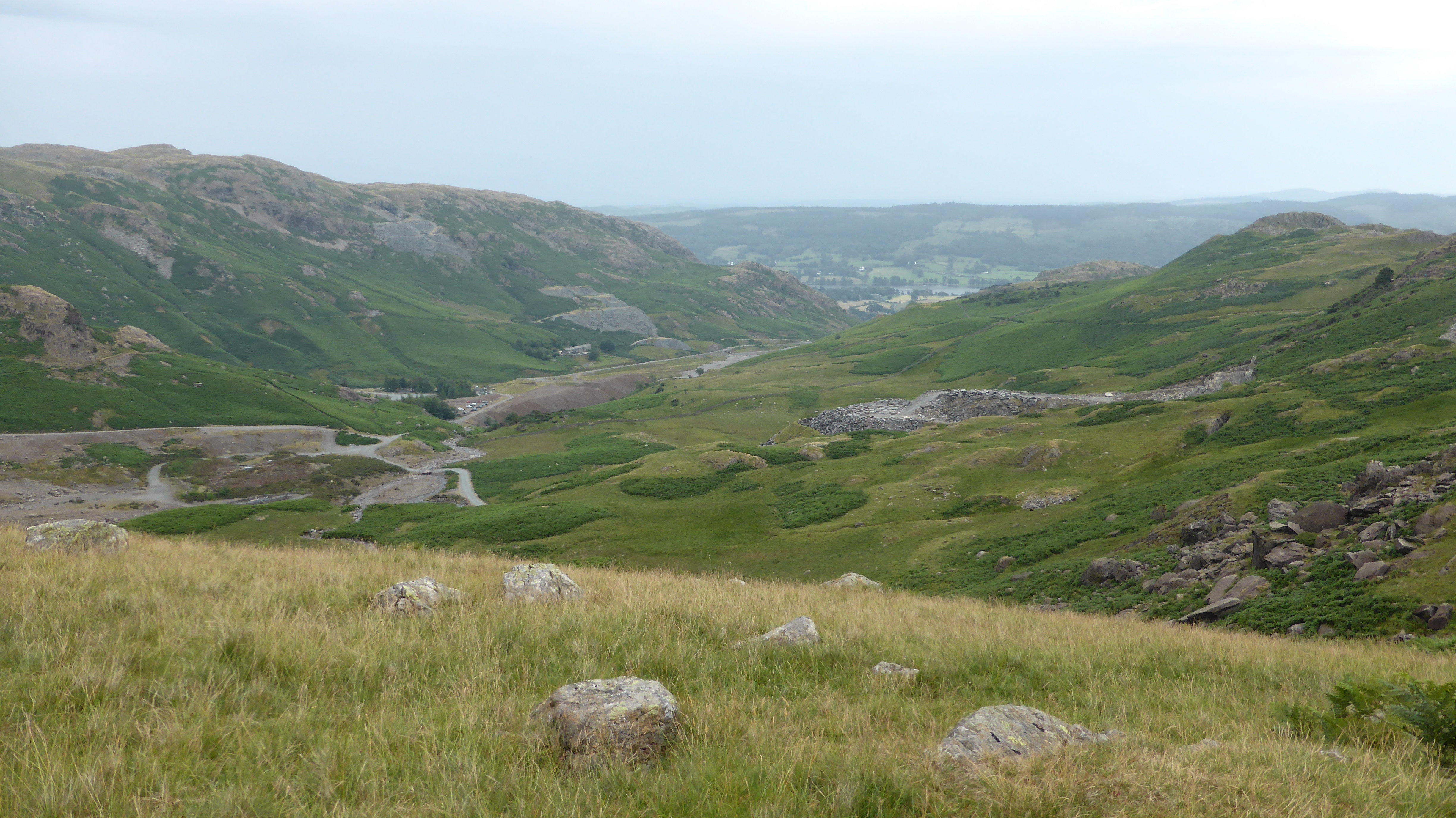 2023_07_08_14
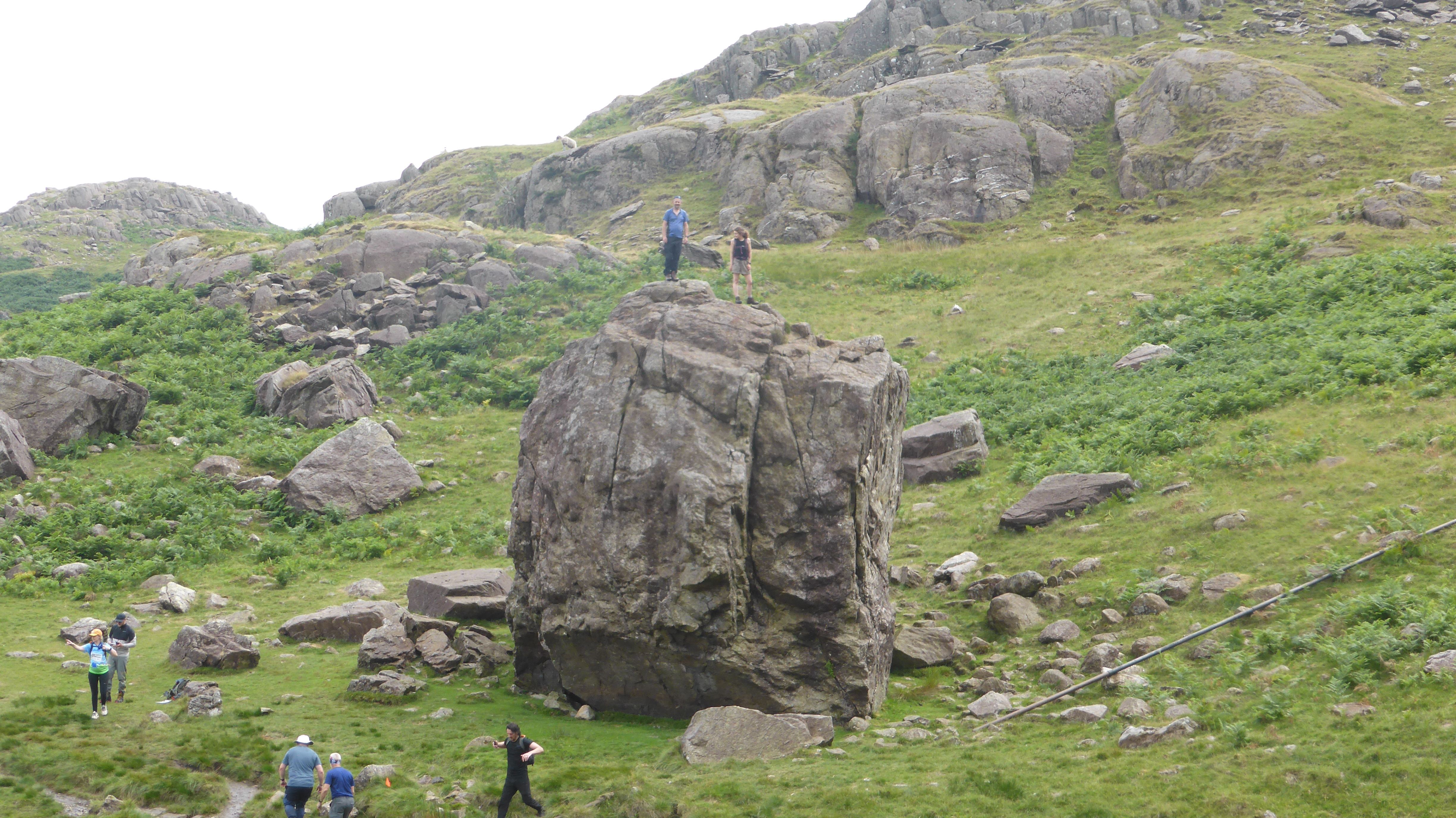 2023_07_08_15
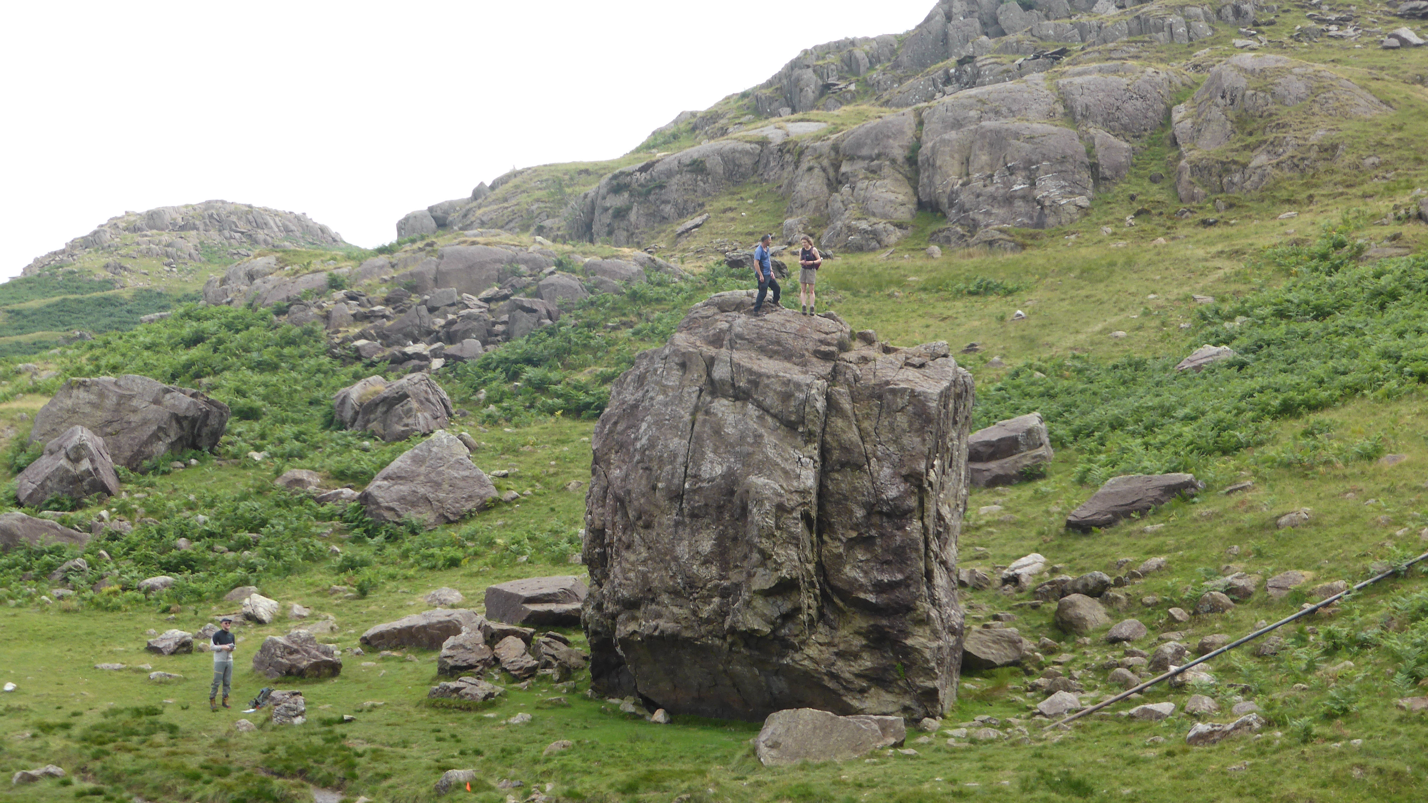 2023_07_08_16
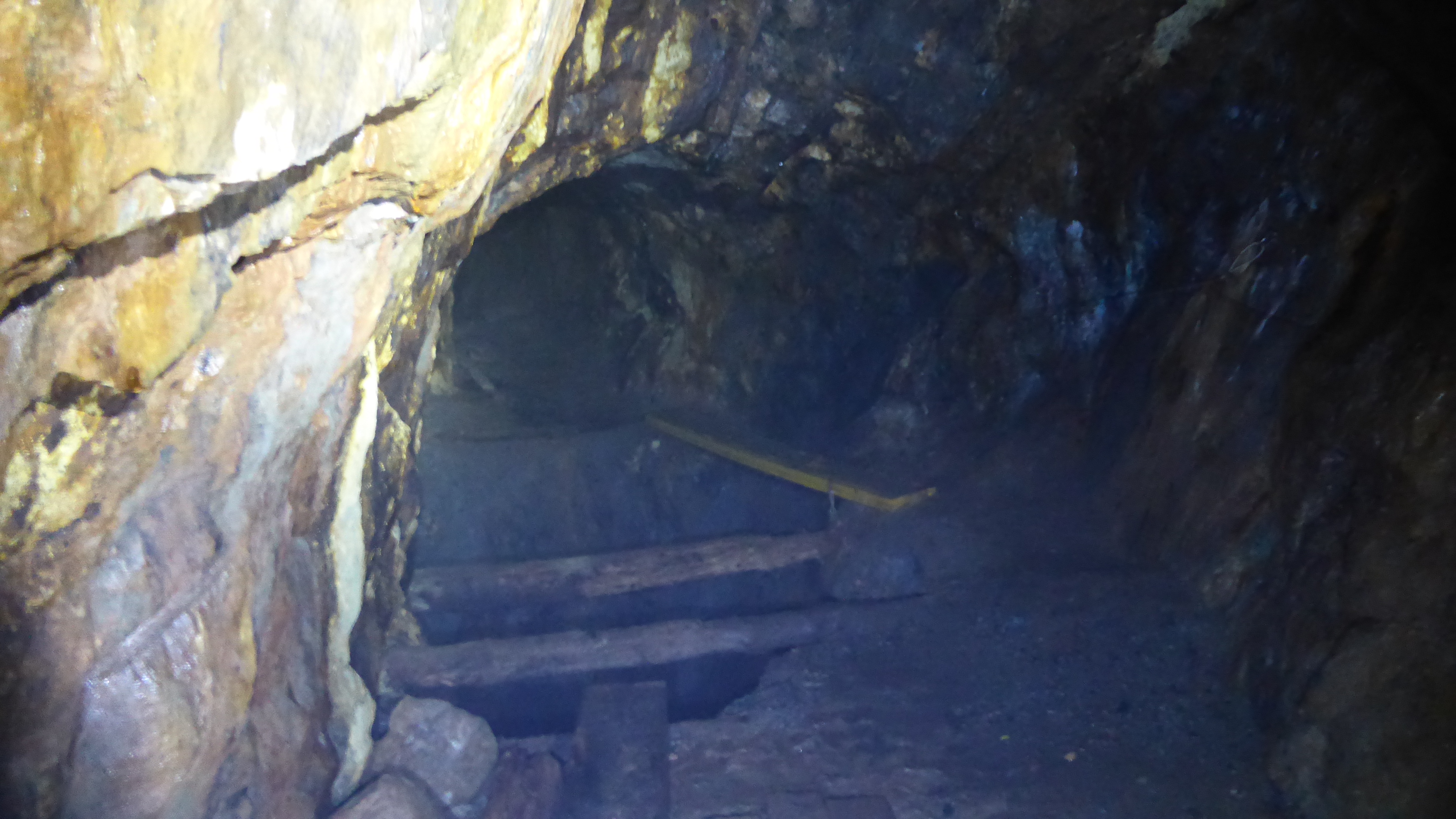 2023_07_08_17
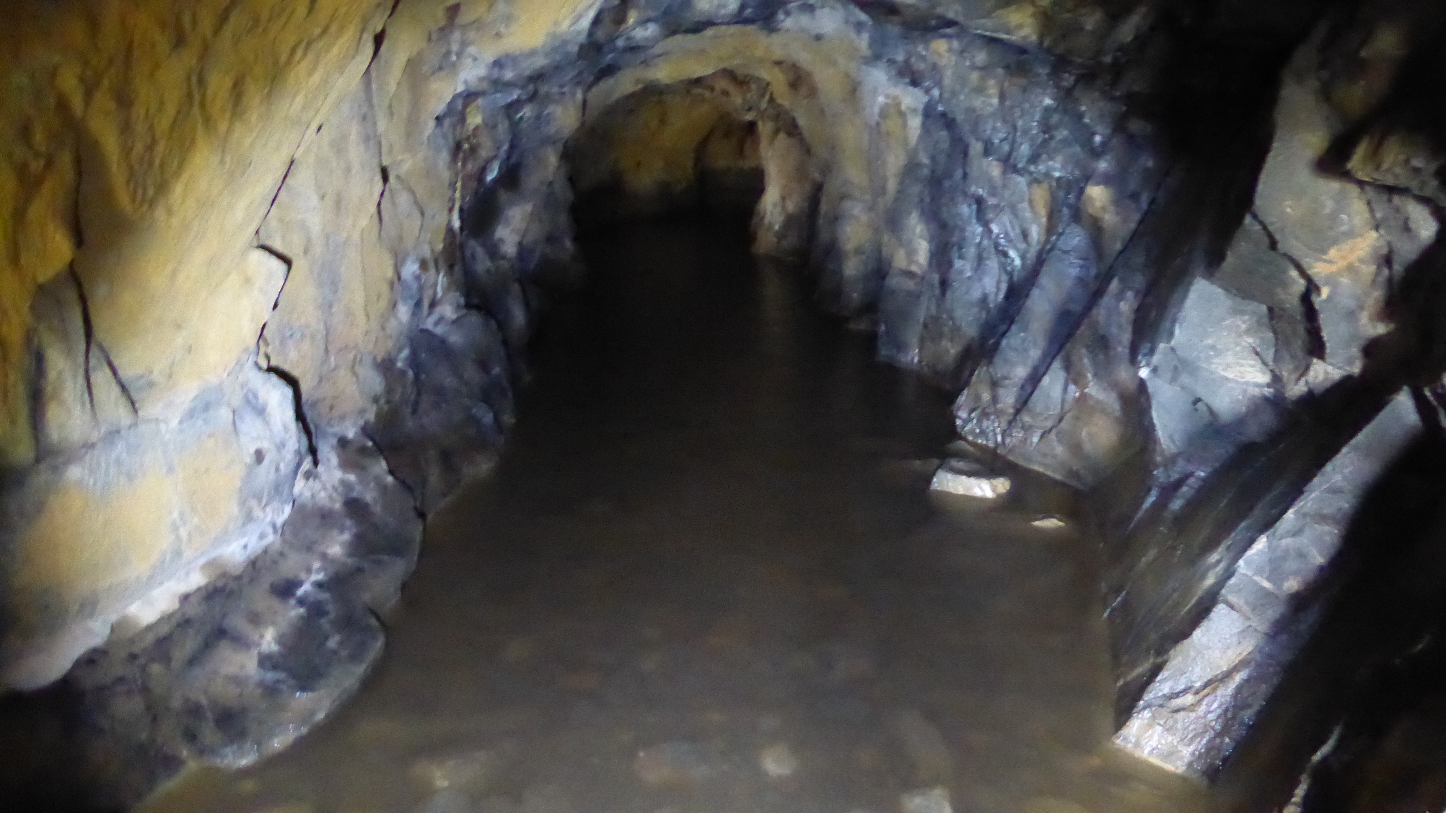 2023_07_08_18
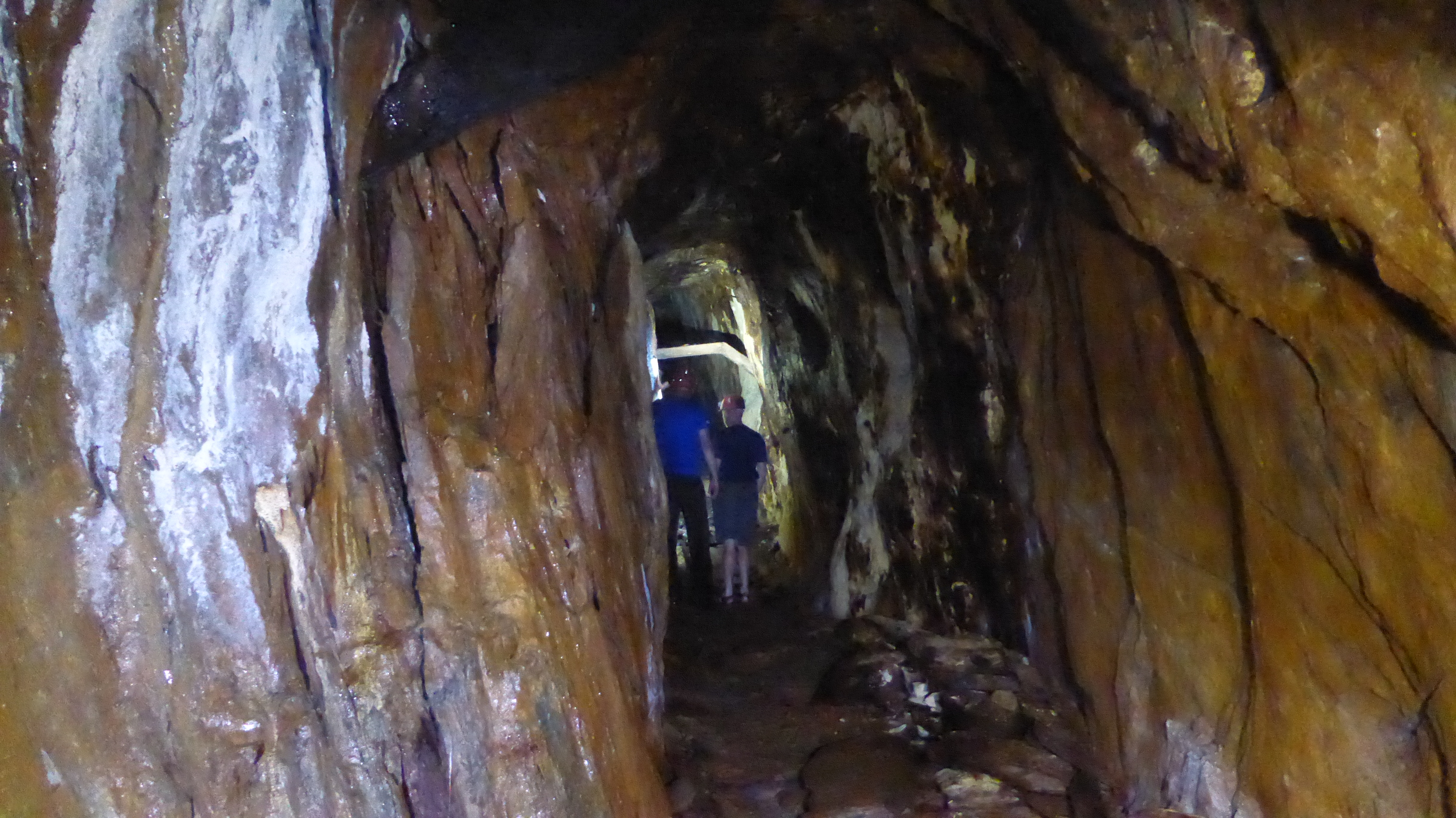 2023_07_08_19
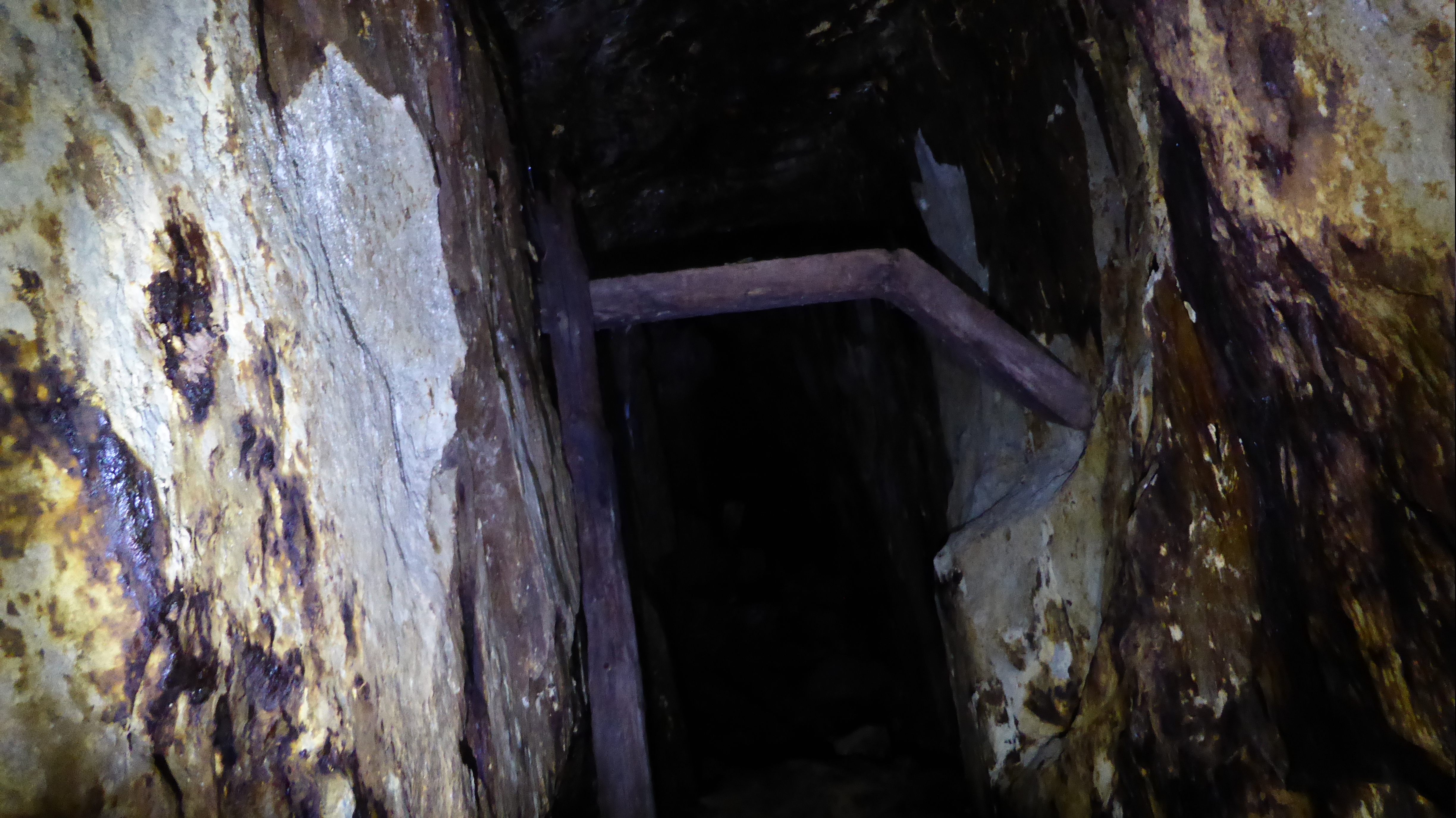 2023_07_08_20
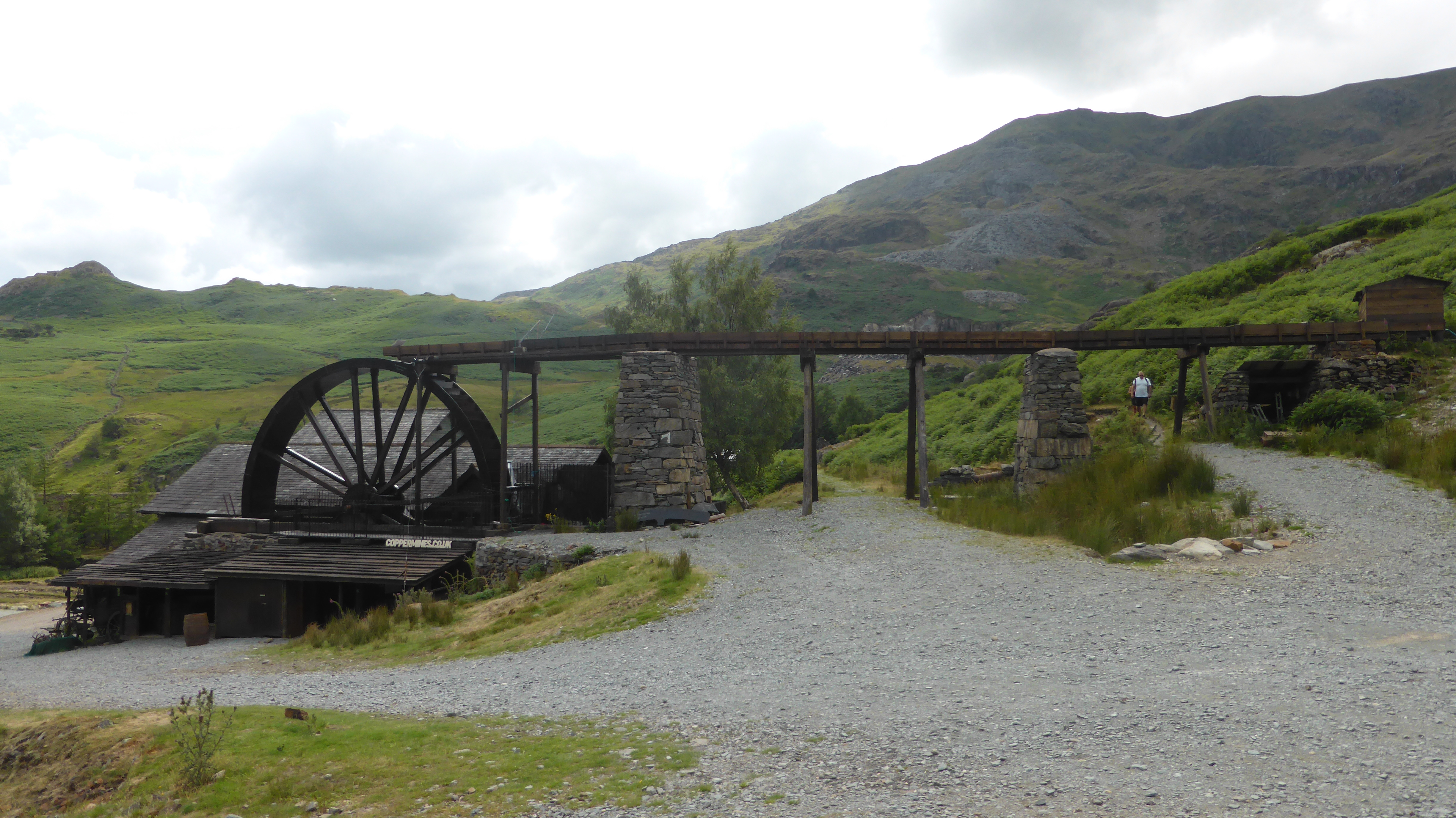 2023_07_08_21
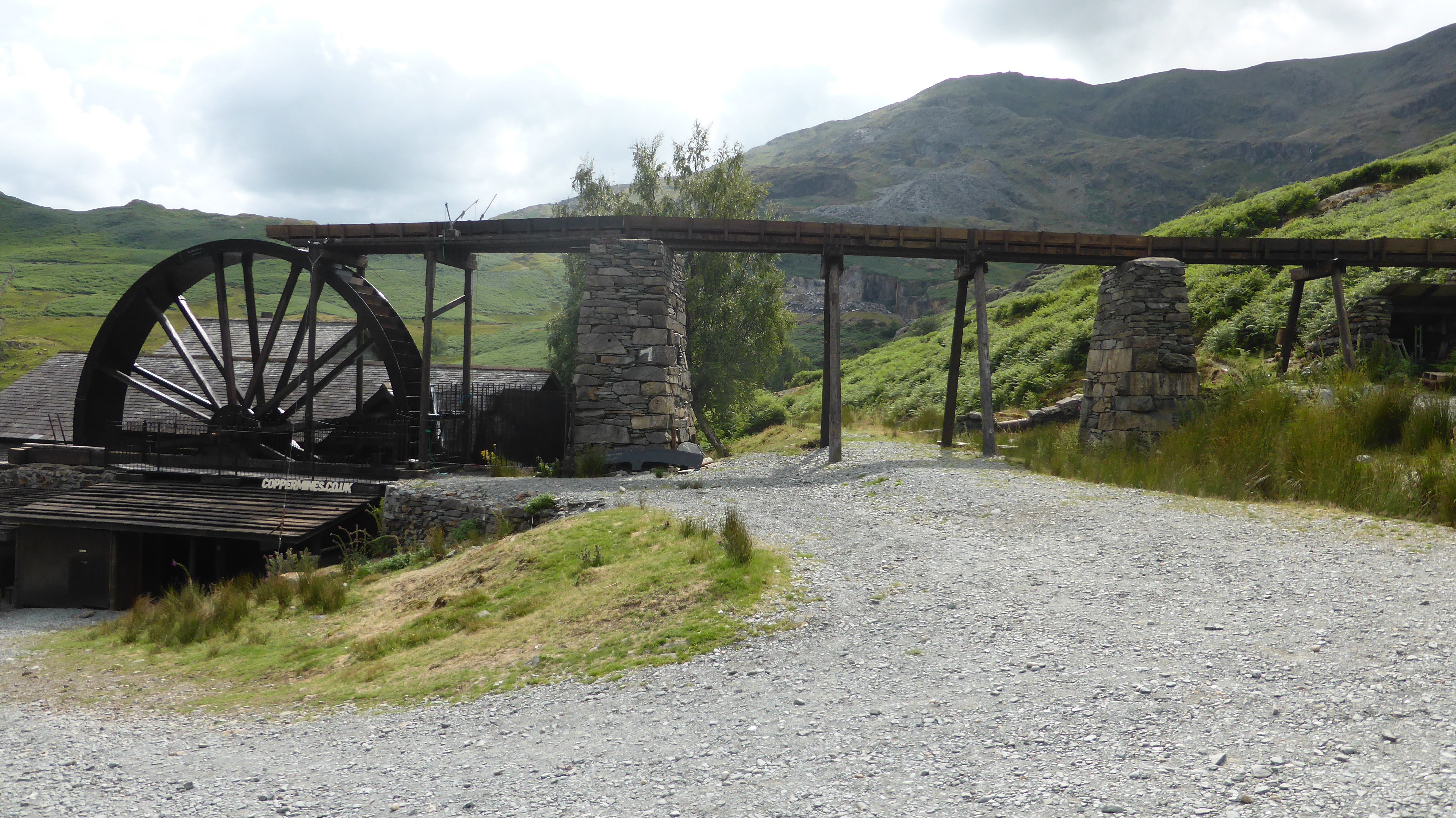 2023_07_08_22
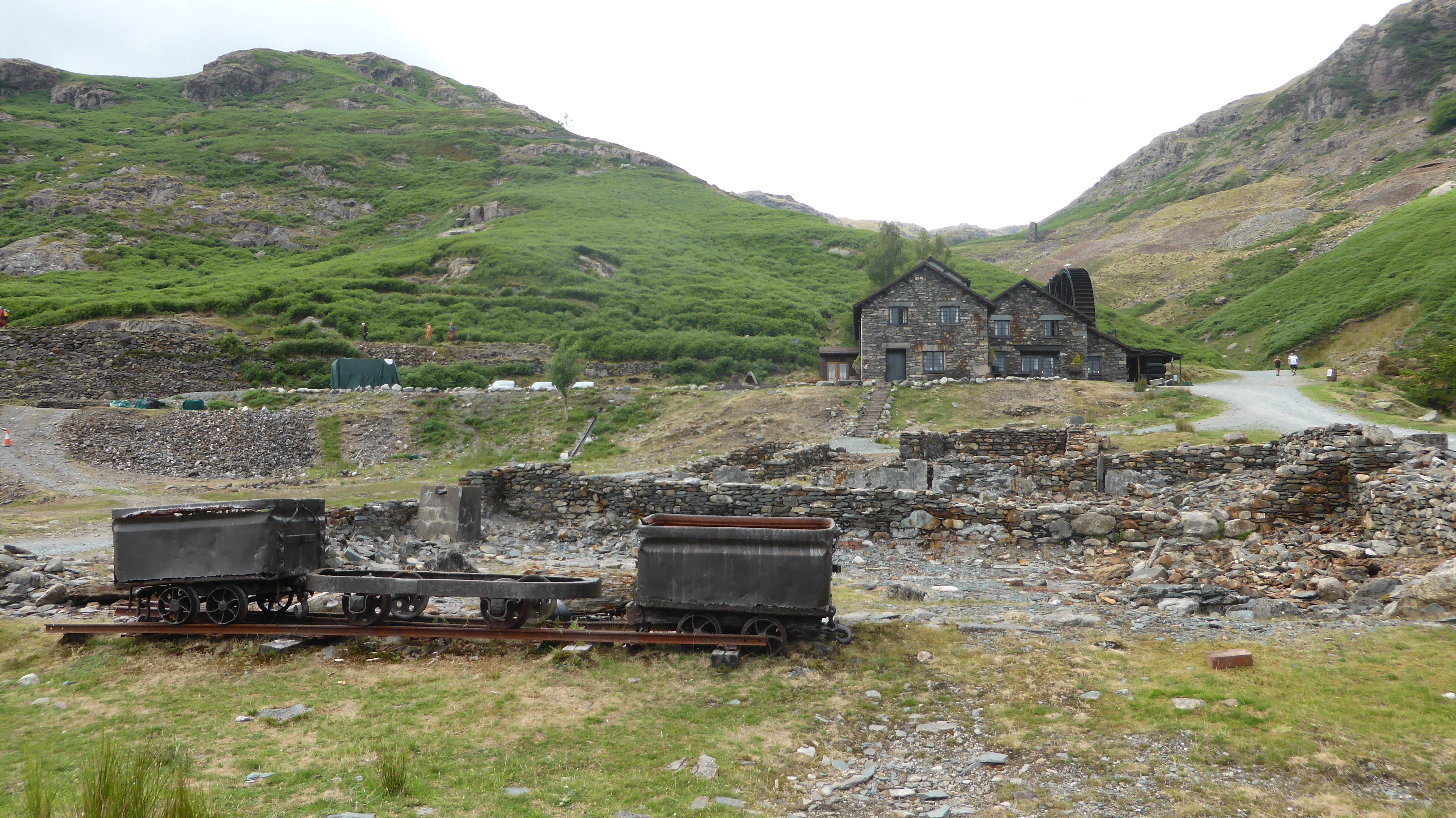 2023_07_08_23
 2023_07_08_24